
This article is part of the series Recalculating, a 28-day motorcycle journey along the Pacific Northwest coast and through its volcanic landscapes.
By the time I was ready to leave Happy Camp, I had two versions of the ride available to me. I could head east and continue through the volcanic side of Northern California, adding Lassen as the last volcano to the register before turning back toward the coast. Or I could head west on Highway 96, finally ride Bald Hills Road, and extend the coastal portion of the trip all the way to Fort Bragg.

I wanted the eastern route. Manzanita Lake was forecast to be 91 degrees, which was manageable, but getting there meant riding through Redding at 107 and Weaverville at 102. The eastern route also meant Cecilville Road. Cecilville Road is a fantastic piece of pavement with smooth lines and broad shoulders in the literal middle of nowhere with no traffic, which is ordinarily a strong argument in its favor. At more than 100 degrees, traveling alone, the middle of nowhere began to sound less appealing.
After looking at the temperatures and checking with a few motorcycle riders I trust back home, I turned west.
The second hard shift

I remember doing the Sweet Tea ride and never really having to worry about weather. Sure, it was hot. Yes, I got rained on. Weather occasionally made the day uncomfortable, but it was never really a blocking issue. Most of the challenges on that trip came from mechanical problems with the motorcycle.
This trip was the complete opposite. Right as I was preparing to head east, fires broke out in Oregon and Washington and sent large amounts of smoke across the route. I let go of the journey toward Glacier, Yellowstone, and Grand Teton national parks. What had started as a much larger eastern loop became a balance between the coast and the volcanoes inherent in the Cascades.
Happy Camp created the second shift. The volcanic route had already been shortened once, and now I was considering dropping Lassen too. That bothered me more than I expected. I knew going west was the safer decision, but it still felt like I was surrendering another part of the ride I had planned.
A sliced tire on Interstate 5 is an inconvenience. A sliced tire on Cecilville Road in triple-digit heat could become a serious problem very quickly.
I posted a poll on our local motorcycle forum asking how hot people are willing to ride. The advice I received did not provide a clean answer. Some riders said they would not ride once the temperature passed 85 degrees. That’s a fail out of the gate. Others bragged that they had ridden in 110. I did not get much agreement until the temperature crossed 105, which at least told me I was not being ridiculous for taking the forecast seriously.
It was never a question of whether I was physically capable of riding in that kind of heat. Twenty years ago, I rode through Fresno in leather on my Vulcan 750 and felt as though I were trapped inside a giant hair dryer. I got through it. If the current route had kept me on Interstate 5, with gas stations, water, shade, cell service, and other people around like I was on Highway 99 back then, I probably would have gotten through this heat too.
Cecilville Road changed the risk calculation. It is hot, deserted, and lonely, with shade not being much of an option. A sliced tire on Interstate 5 is an inconvenience. A sliced tire on Cecilville Road in triple-digit heat could become a serious problem very quickly. I was traveling alone through a remote part of California, and I did not want to stack isolation, extreme heat, and a possible mechanical problem on top of one another simply to prove that I could.
I went conservative. I was disappointed, but I also knew it was the right decision.
Leaving Happy Camp
My goodbye at the farm ran longer than expected, but it didn’t bother me. I had stayed an extra day because leaving did not feel urgent, and I welcomed the additional time. Once the motorcycle was packed and I was actually trying to get out of Happy Camp, however, the town became a whole other animal.
I needed to stop at the store to get snacks, water, and Gatorade. Even though I wasn’t going east, it was still going to be hot and I needed to take care of hydration. As I approached Highway 96, I could see the road was on one-way traffic control due to paving and the addition of sidewalks through the town. Traffic started moving quickly, so I thought no big deal. Next, I needed the liquor store as that’s where my hosts recommended to get a postcard from the area. I came up dry. By the time I reached the Happy Camp Ranger Station, another flagger was standing in the road telling me to wait for a pilot car. Cones narrowed the pavement, a beach umbrella created the only visible patch of shade, and a backhoe occupied the road ahead. The flagger instantly felt bad for me as she knew how long I was going to have to wait.
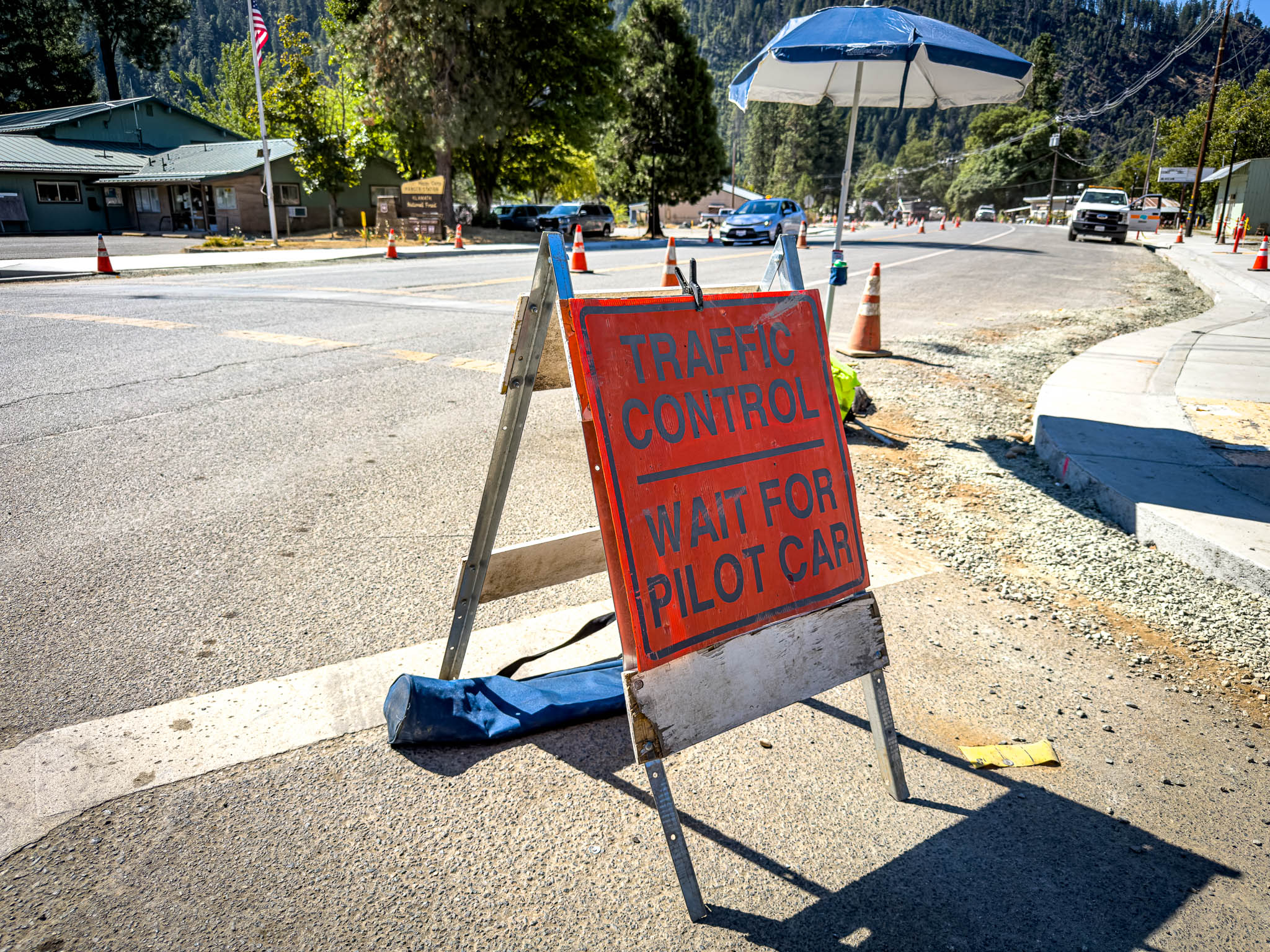
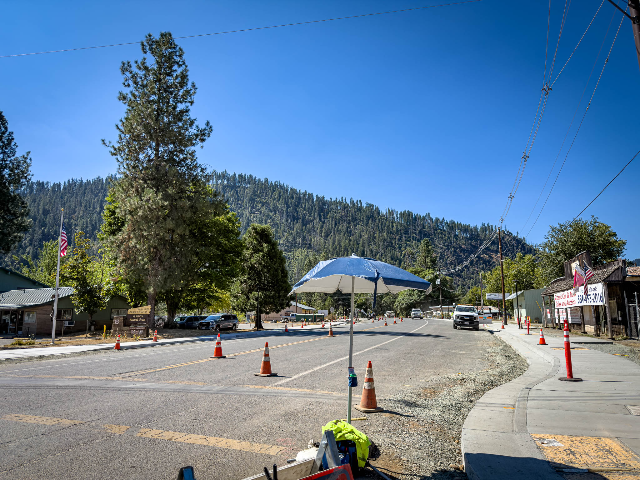
After 35 minutes, the pilot car arrived, traffic began moving, and I was on the road in earnest, an hour later and 10 degrees warmer than I wanted to be. Once the work zone disappeared behind me, Highway 96 was almost empty.

God, I love Highway 96
I especially love Highway 96, especially on an ordinary Monday without any weekenders. I had roughly 150 miles of open road, high-speed sweepers, and very little traffic between Happy Camp and the turn toward Bald Hills Road. I only remember needing to pass one car the entire stretch from Happy Camp to Somes Bar. Why Highway 36 gets all the glory when this road is 15 miles longer still baffles me.
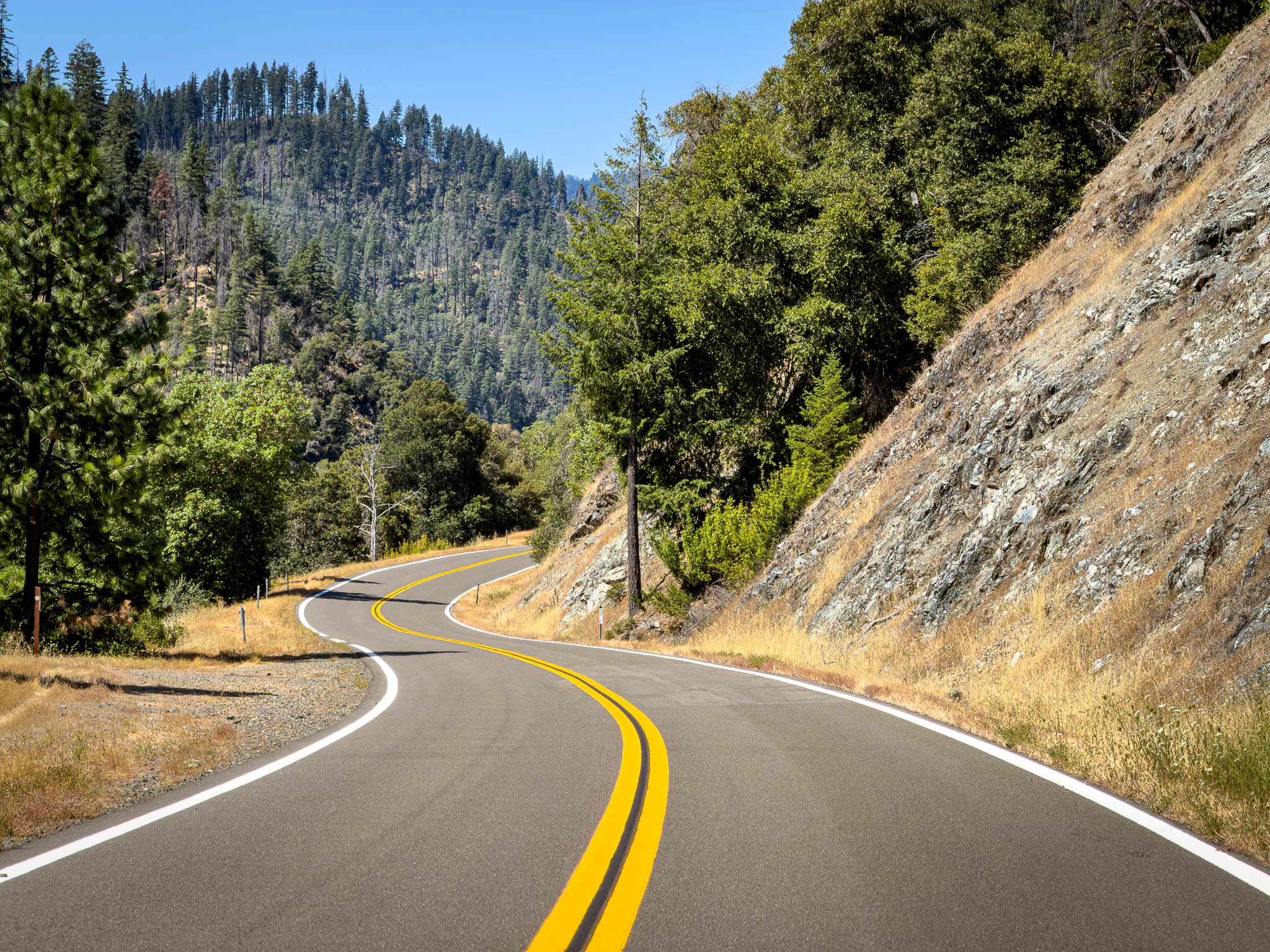
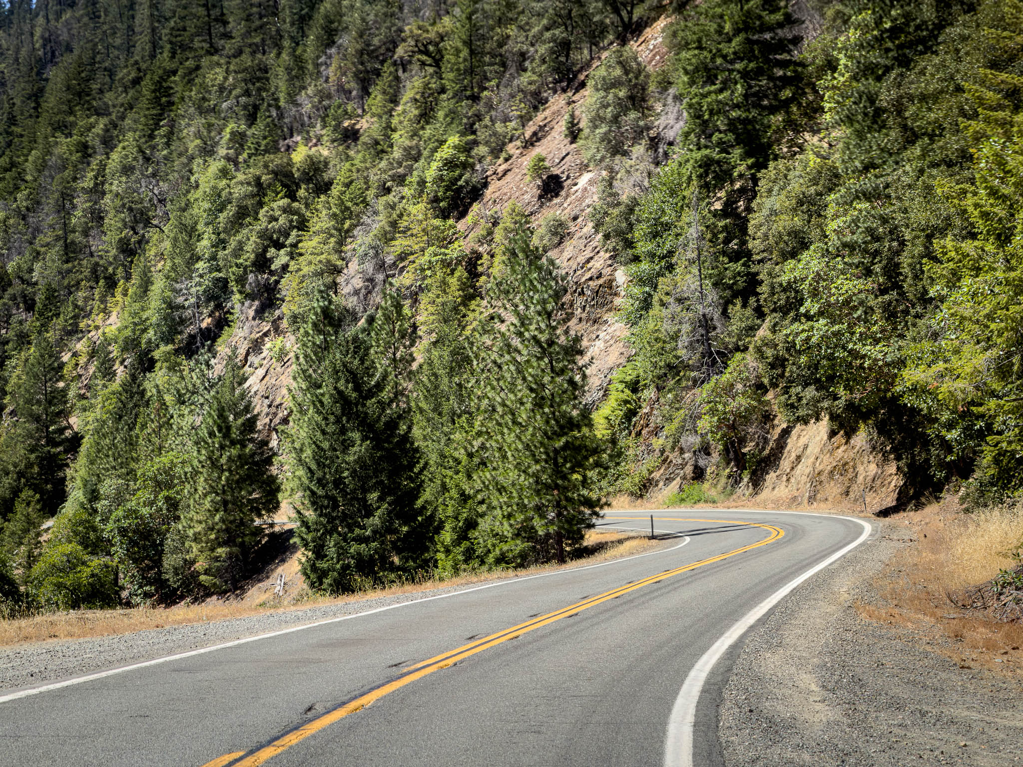
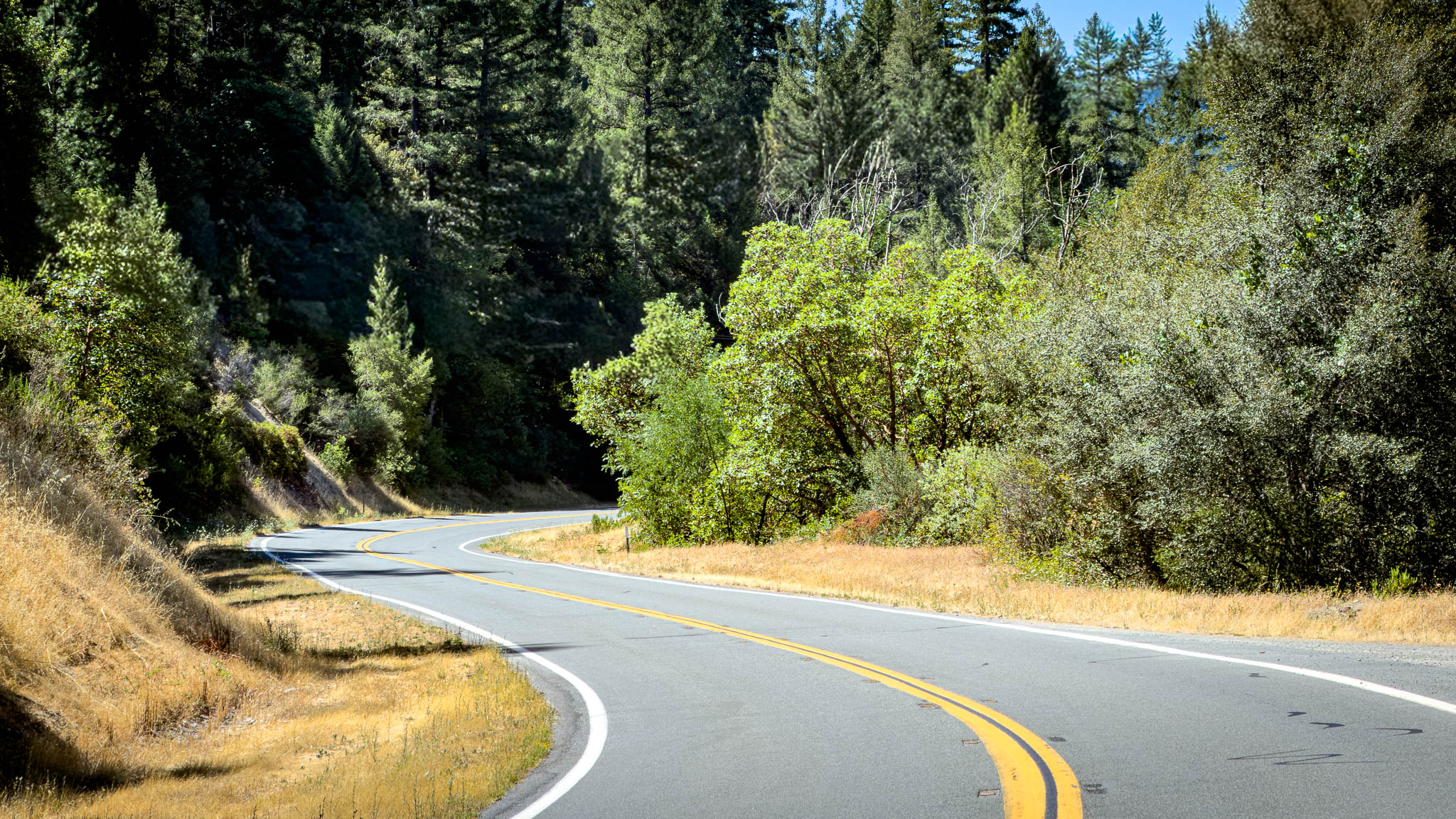

The highway followed the Klamath, moving between long open curves and tighter sections pressed against the mountains. It rose and fell with the terrain with a gentle cadence. I could see far enough through most of the corners to maintain a quick, consistent rhythm, and for long stretches there was nobody ahead of me forcing me to ride at their pace.
The road also gave me plenty of the small details I tend to photograph when nobody is waiting for me. A suspension bridge carried Highway 96 across the river. Farther west, a newer style white milepost read 96 / HUM / 23.50. Someone in Caltrans District 1 upped their typography game. FINALLY the highway number is in larger text, the county name has more weight (think bold in Microsoft Word) and the mileage from the western border in bolder text. Thank you for the typographical upgrade in your post mile signs! I’m sure nobody noticed but me, but I’m at least one.

When I left Happy Camp, going west still felt like the compromise route. Highway 96 did not make me forget that I wanted to ride Lassen, but it reminded me that changing the route did not automatically make the new route second-rate. I wasn’t thinking about the miles I had removed from the plan. I was enjoying the road directly in front of me. This was a new adventure.
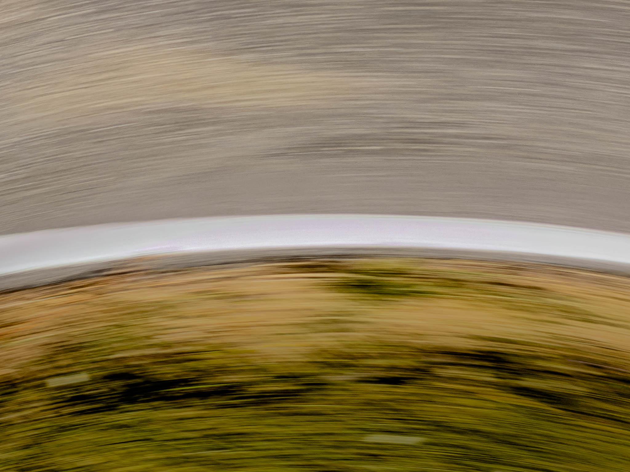
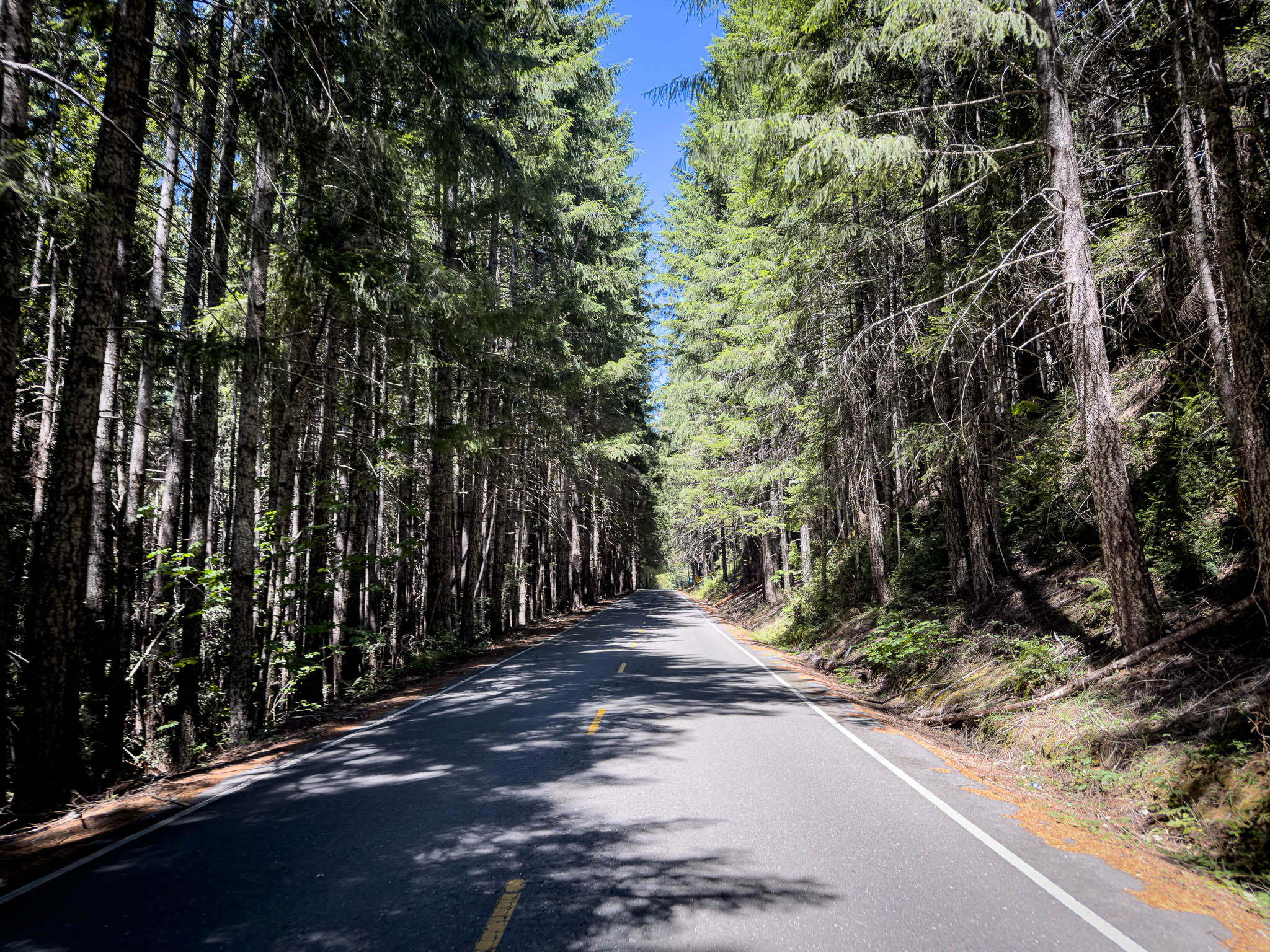
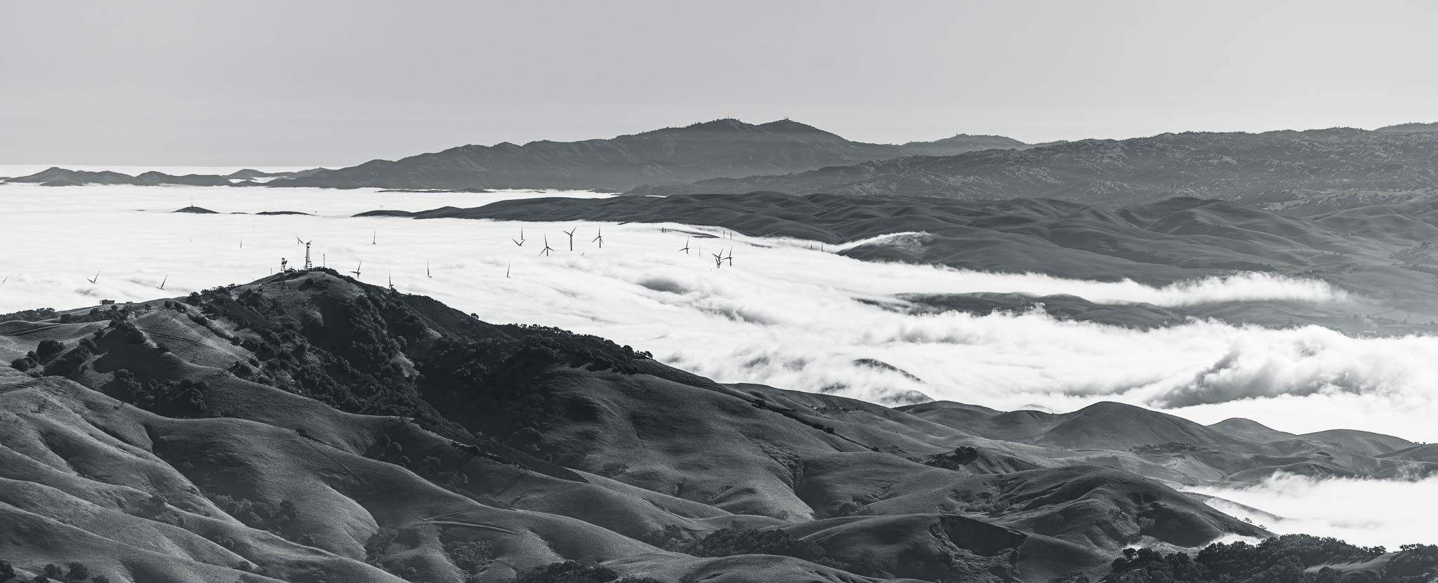
Somewhere along that section, I accidentally took the photograph at the top of this post. By conventional standards, it is a terrible road photograph. There is no motorcycle, recognizable landmark, or particularly sharp object anywhere in the frame. Most of it is blurred pavement and a white line bending through the image. Somehow, it captures Highway 96 better than the photographs I took intentionally. I see speed, curvature, and the fun of having a great road almost entirely to myself.
The road I kept missing
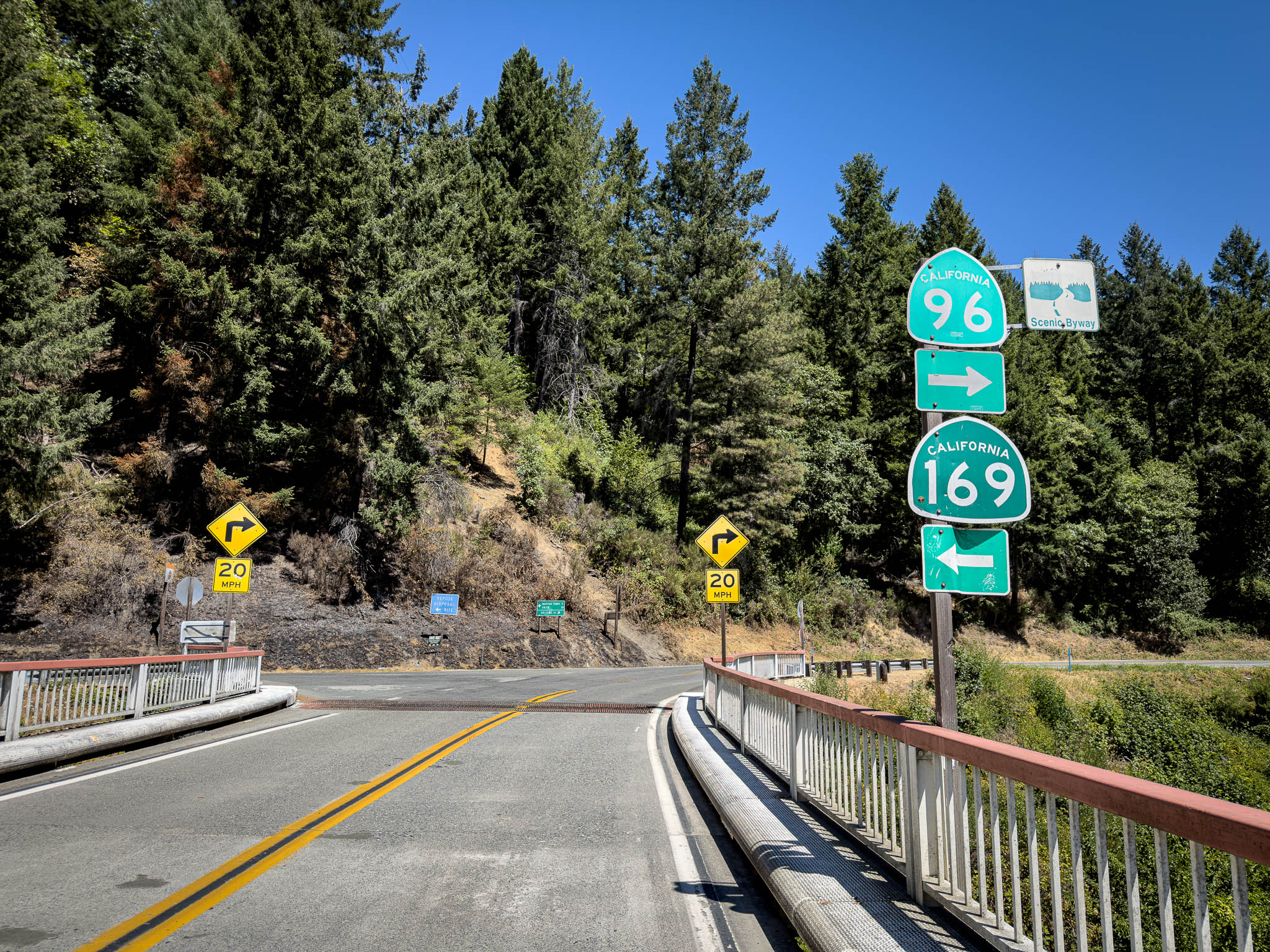
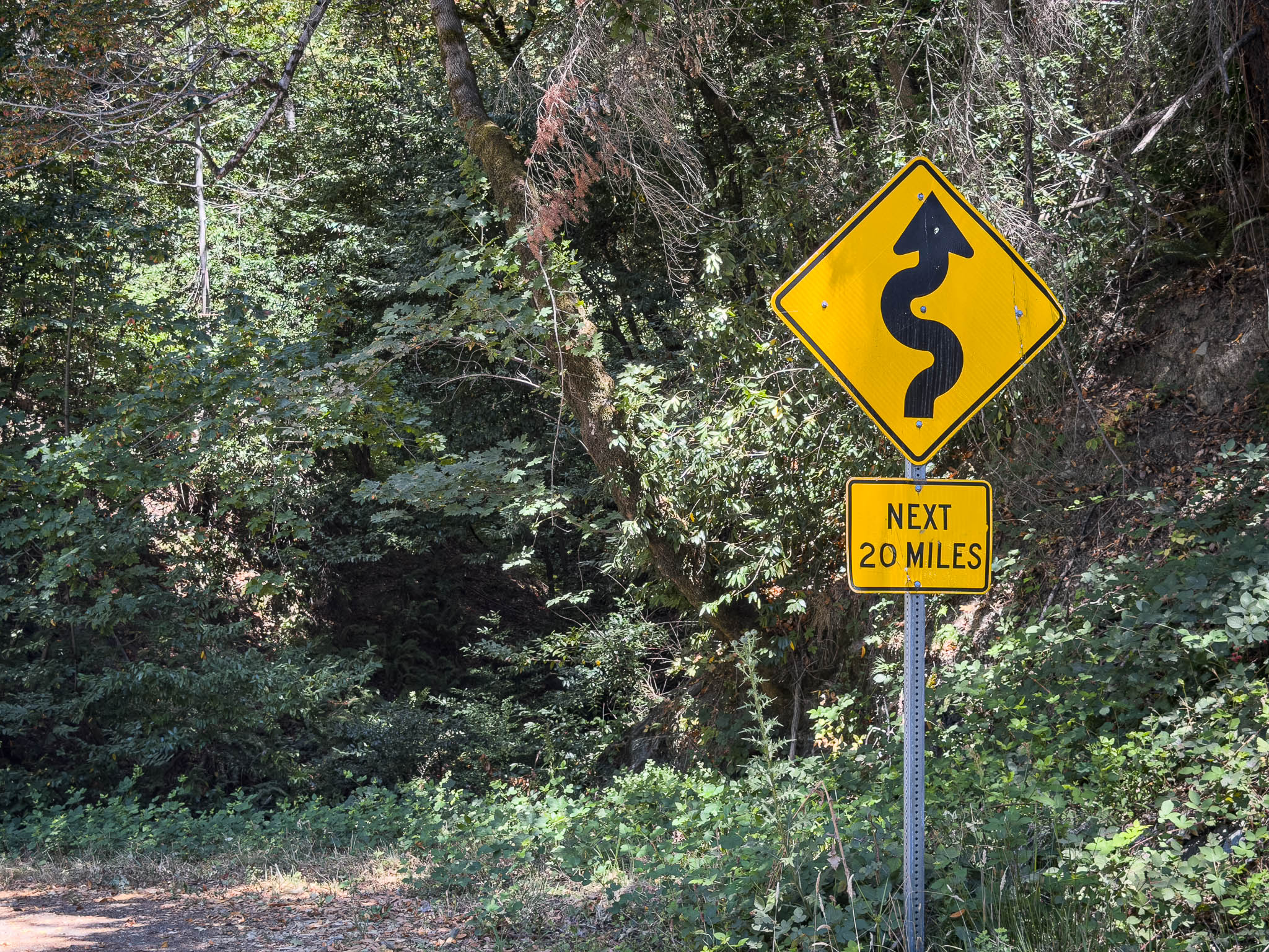
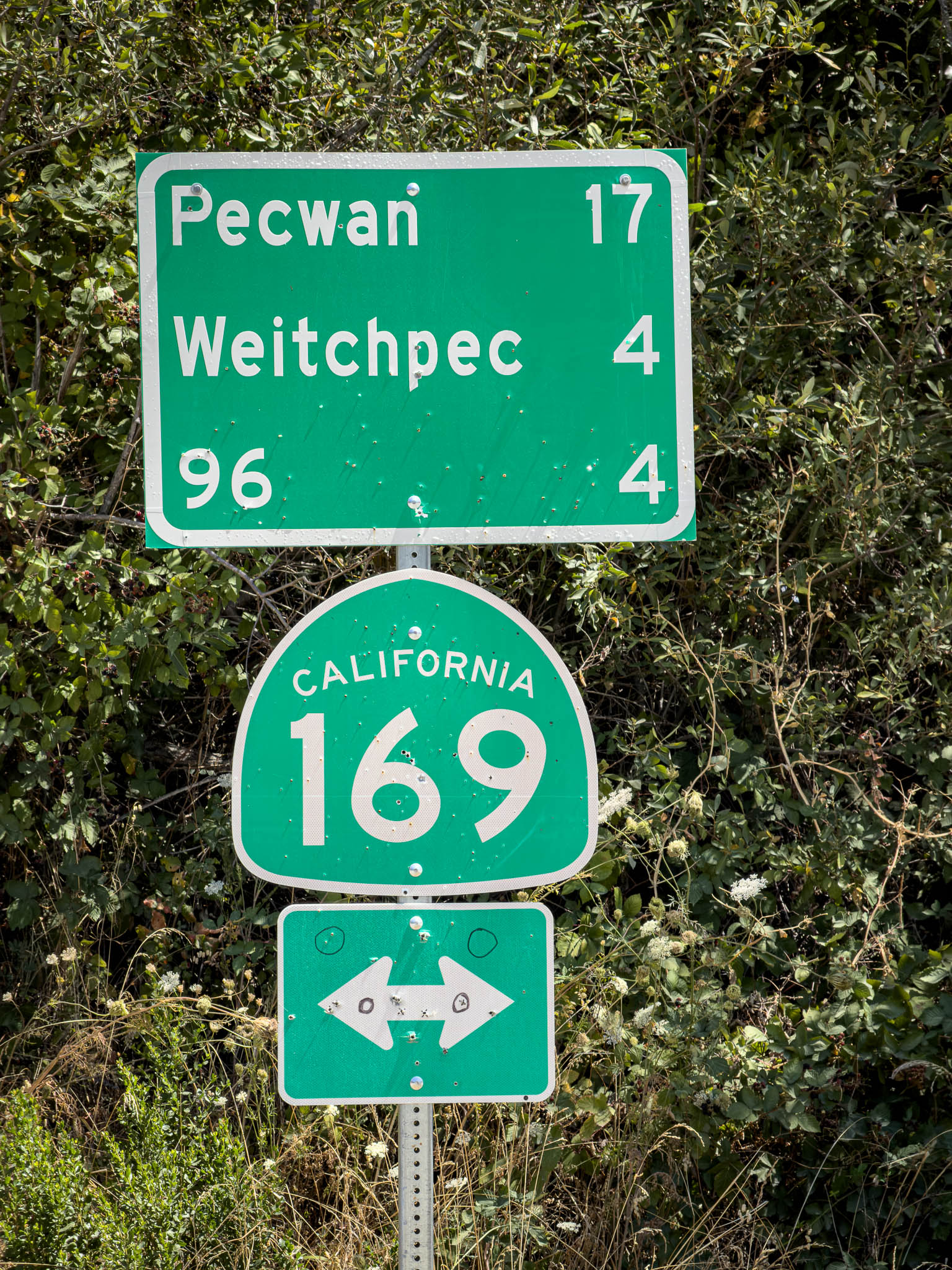
It sat near Weitchpec, on Highway 169 as it split away from 96. The signs listed Pecwan and Weitchpec, a yellow warning promised curves for the next 20 miles, and one of the green destination signs had been peppered with holes. These were all encouraging signs that the route was moving away from the larger highways and toward the little squiggle I had been trying to ride for years. As a bonus the only place I knew on Highway 169 was Klamath, CA way on the other side of the state. This side of 169 doesn’t even connect to it. All I saw down the road was “END OF ROAD, 20.”
Pashnit’s narrative of Bald Hills Road had always seemed to enchant and escape me. I signed up for two Pashnit tours partly because I did not want to ride the unpaved section alone, but both trips were detoured away from it. On the last BMW Range of Light Tour, I considered riding it by myself. Someone at a nearby gas station warned me that there had been increased trouble in the area and said he would not recommend going through alone.
I had no way to know whether the warning was fair or accurate. It was one person at a gas station, not a carefully researched assessment of the area. Still, I was alone, the weather was damp, and the road remained partly unpaved, so I listened. The warning accomplished what local warnings often do: it kept one tourist off the road.
Since then, the remaining unpaved section had been paved. If Mount Lassen had been axed, come hell or high water, I was going to ride Bald Hills Road this time.
The road separated itself from the larger road network quickly. The centerline disappeared, the pavement narrowed, and the forest closed overhead. From one bridge I could look down at the remains of an older crossing folded into the river below. The road then slipped beneath dense trees where the light reached the pavement in pieces.
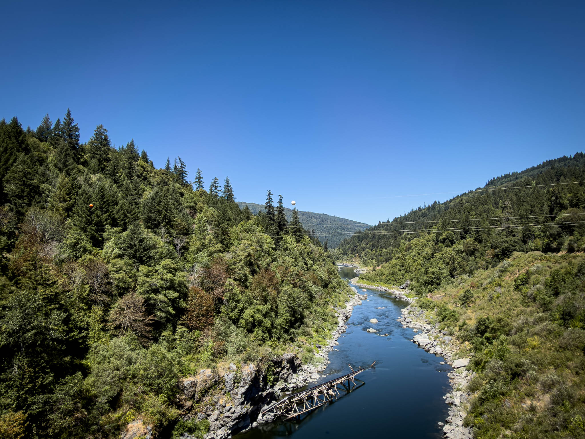
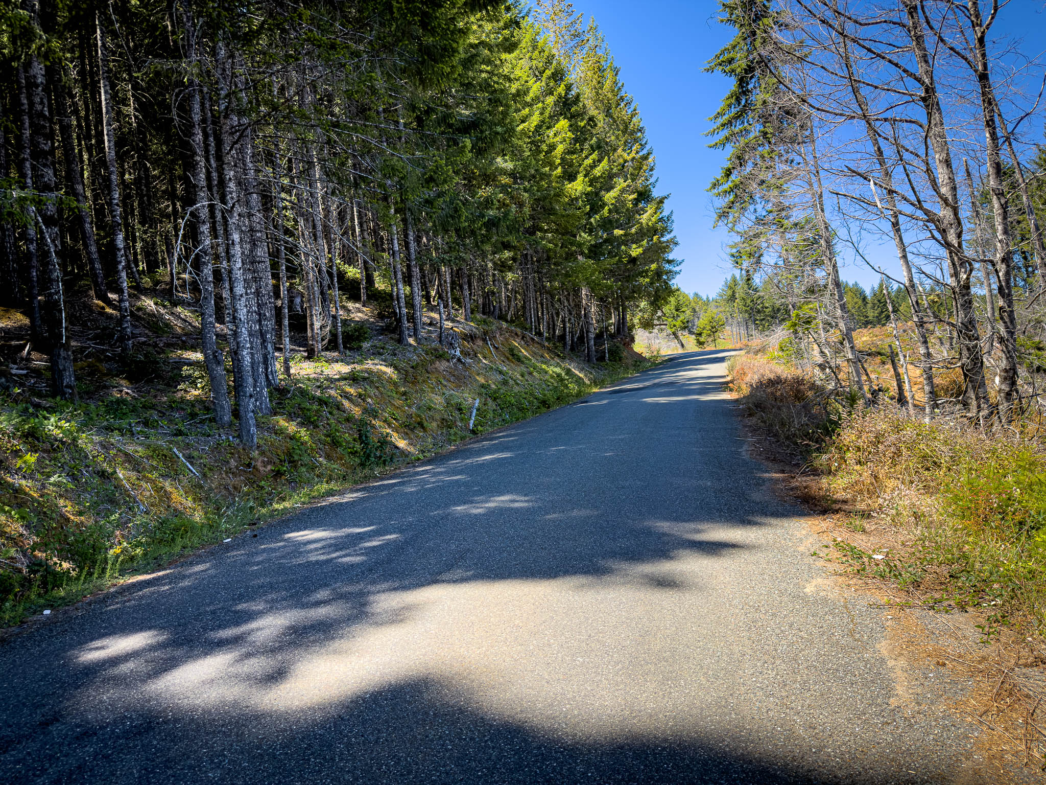
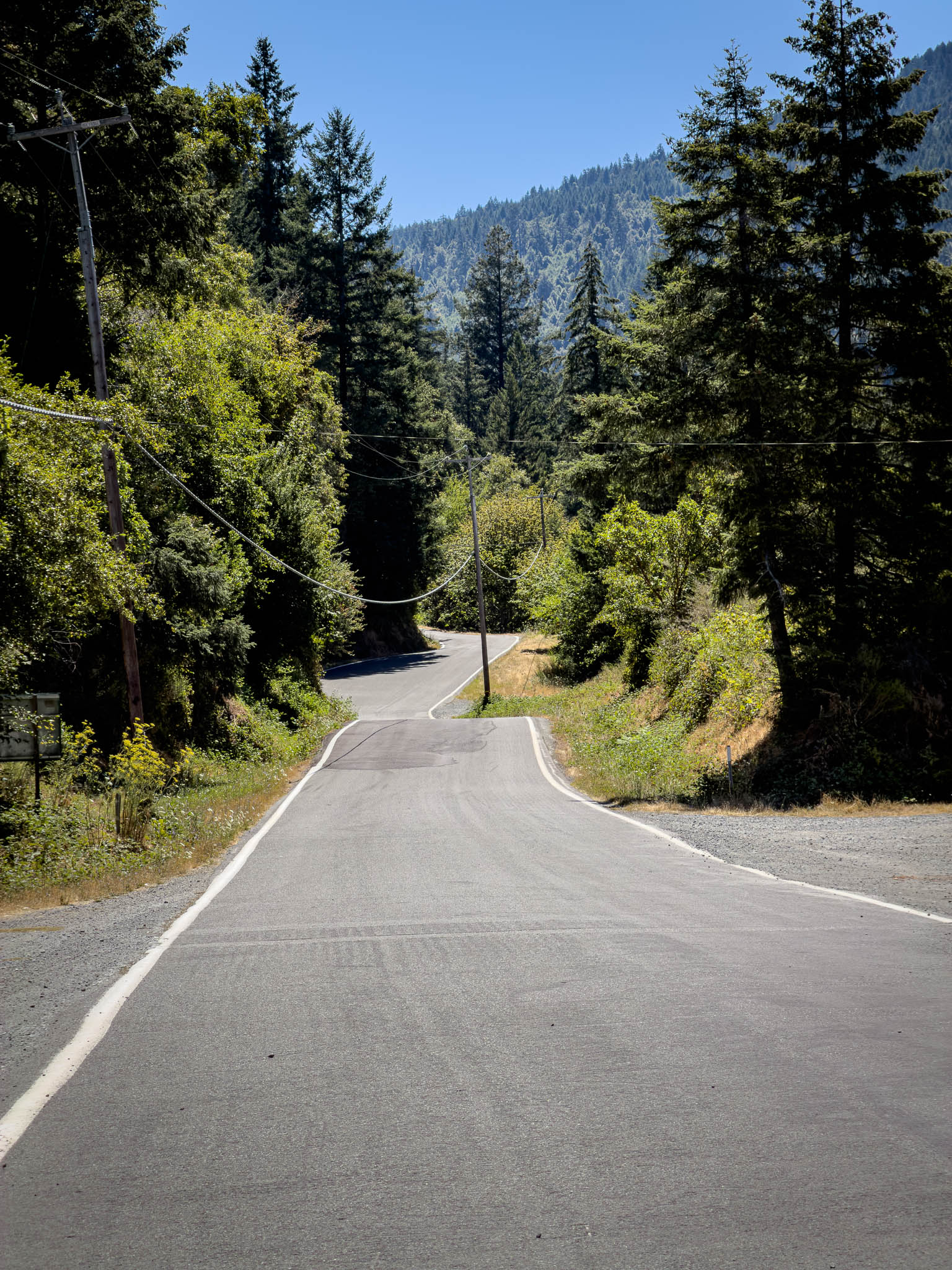
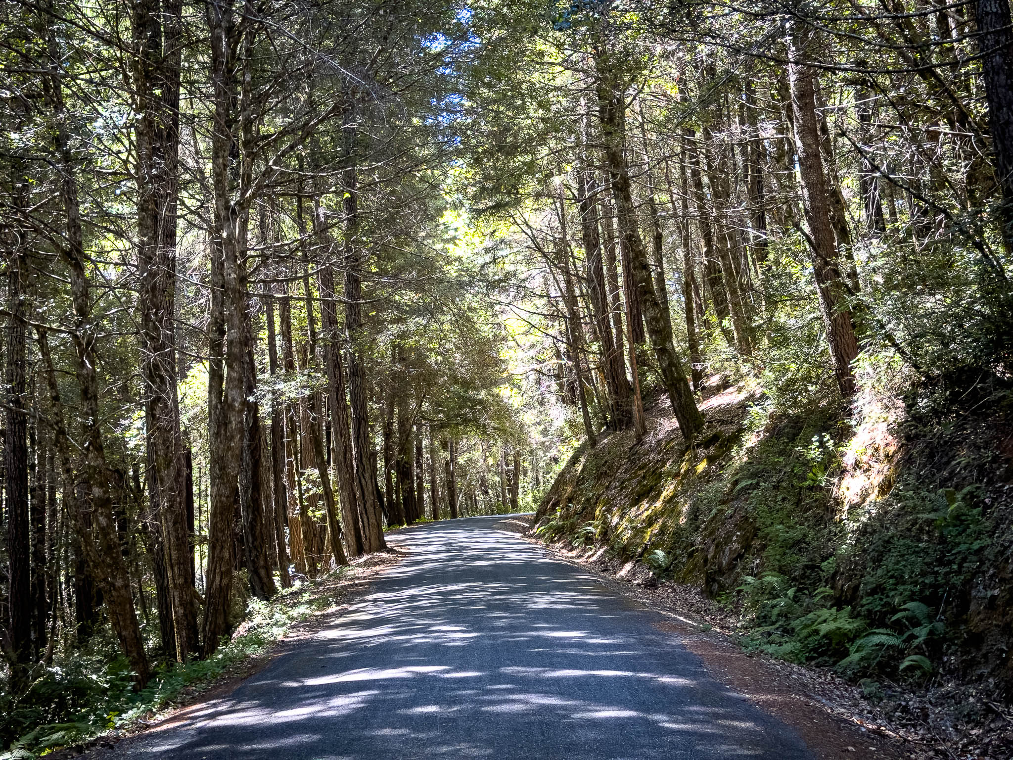
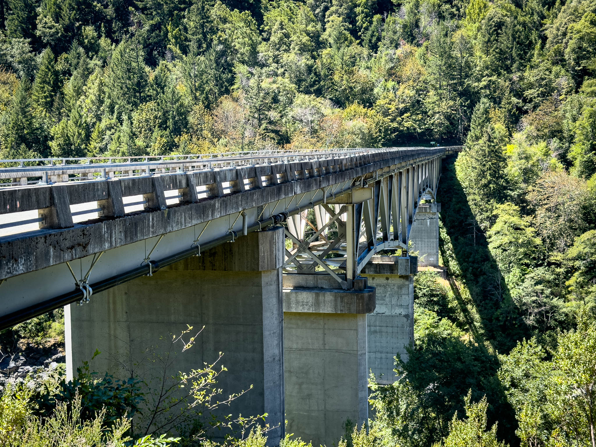
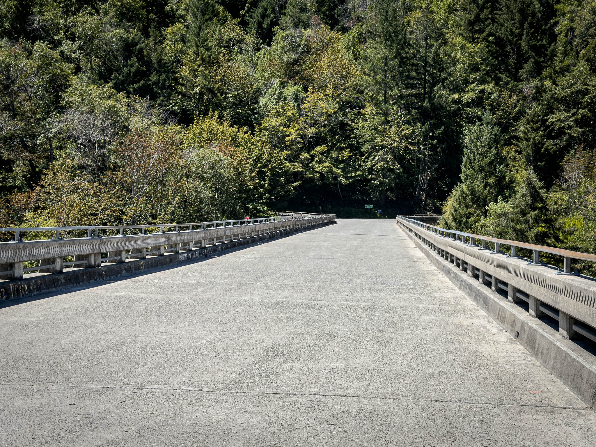
Farther down the road, I encountered a trucker and a Caltrans worker standing in the literal middle of nowhere. Seeing them made me check in with myself. The temperature was well into the 90s, I was hot, and I had become much thirstier than I realized. I stopped and drank a quart and a half of Gatorade Zero before continuing. Turning away from Cecilville had reduced the heat risk, but it had not eliminated it.
I carried some anticipation into that section, partly because I knew so little about the road and partly because of the old warning. The photographs show how little company I had. There are bridges, forest, open hills, and long pieces of empty pavement, but almost no people. On another day that emptiness might have reinforced the concern. Once I was there, it mostly gave me room to settle into the road.
The scenery changed dramatically as I climbed. Dense forest gave way to dry grass, scattered oaks, and wide views across the hills. In places, the centerline disappeared again and the pavement looked like a narrow strip drawn across the landscape. Farther along, dark new asphalt and fresh yellow dashes showed where the road had been improved.
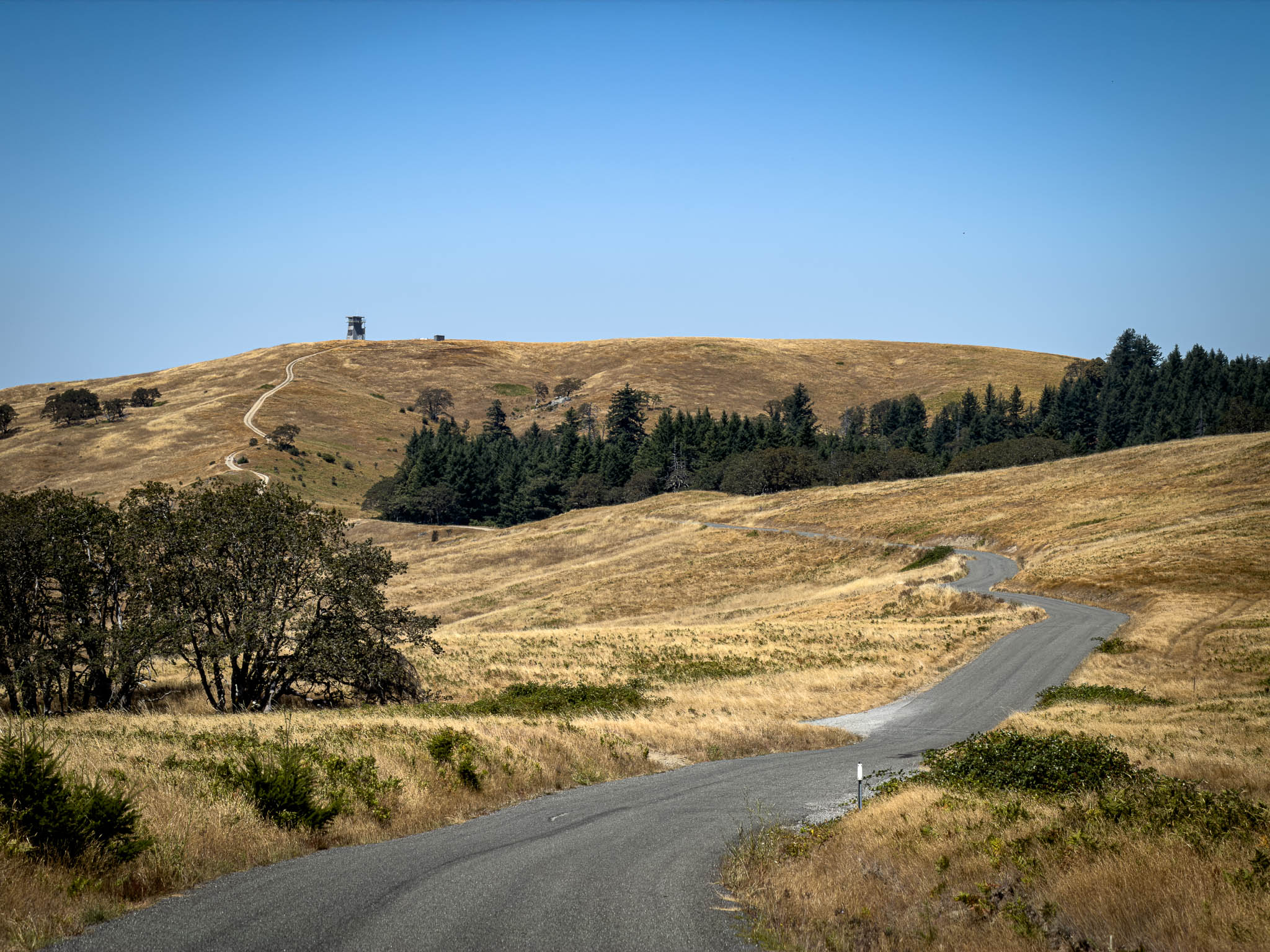
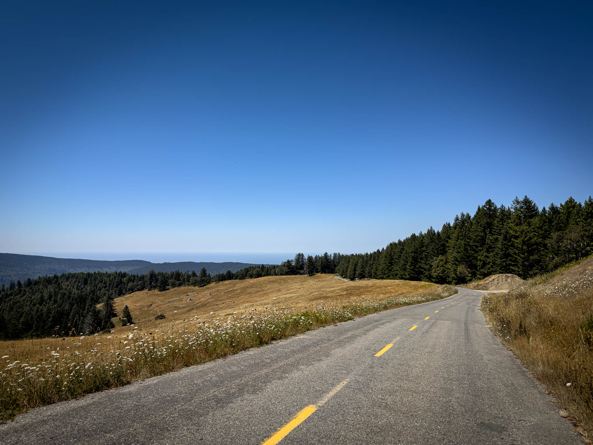
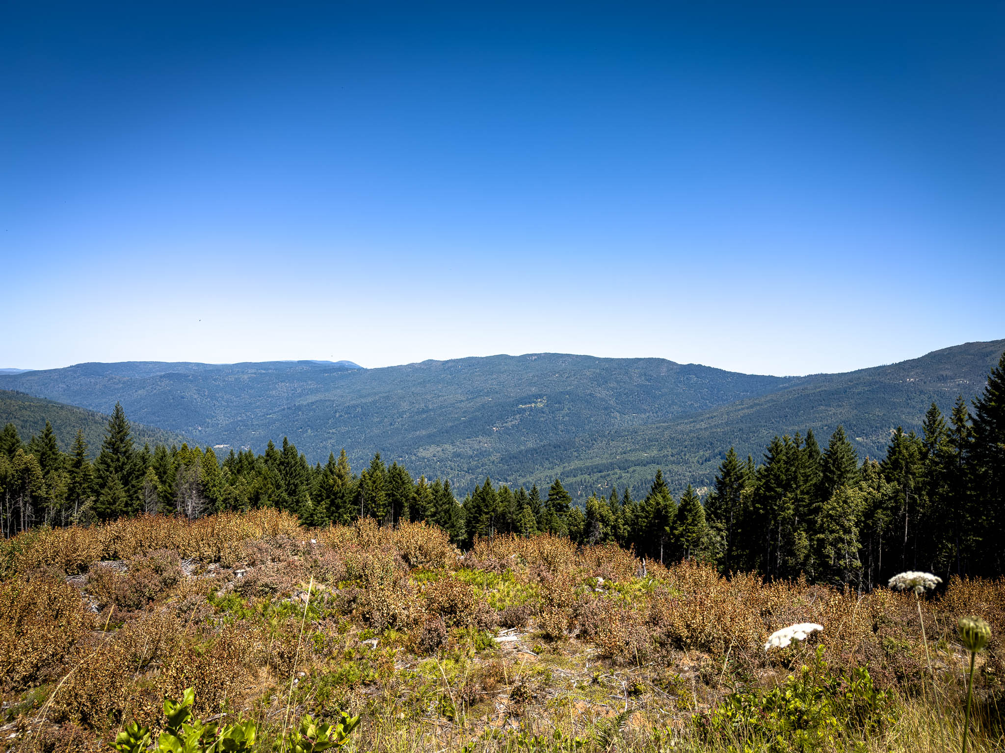
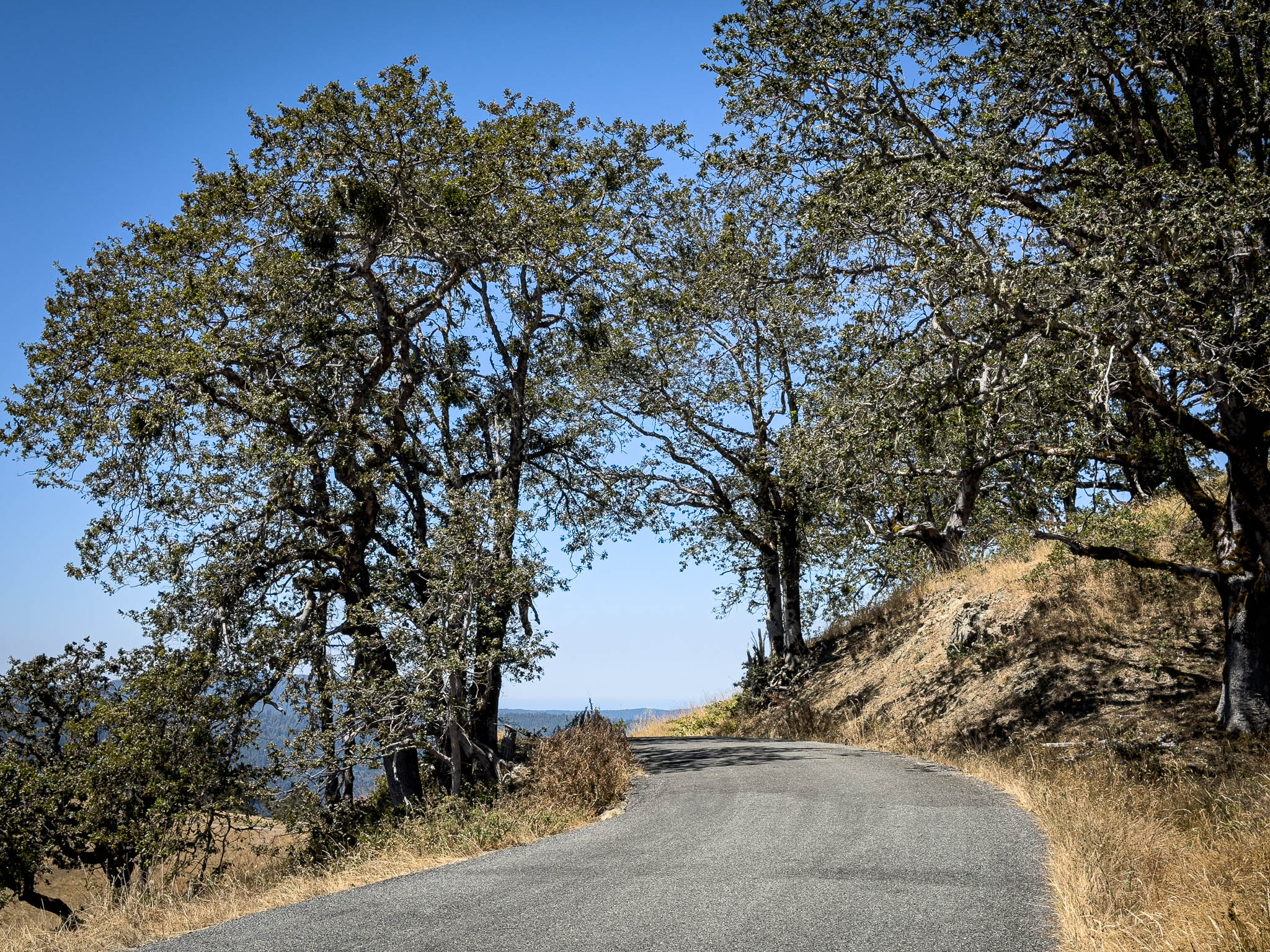
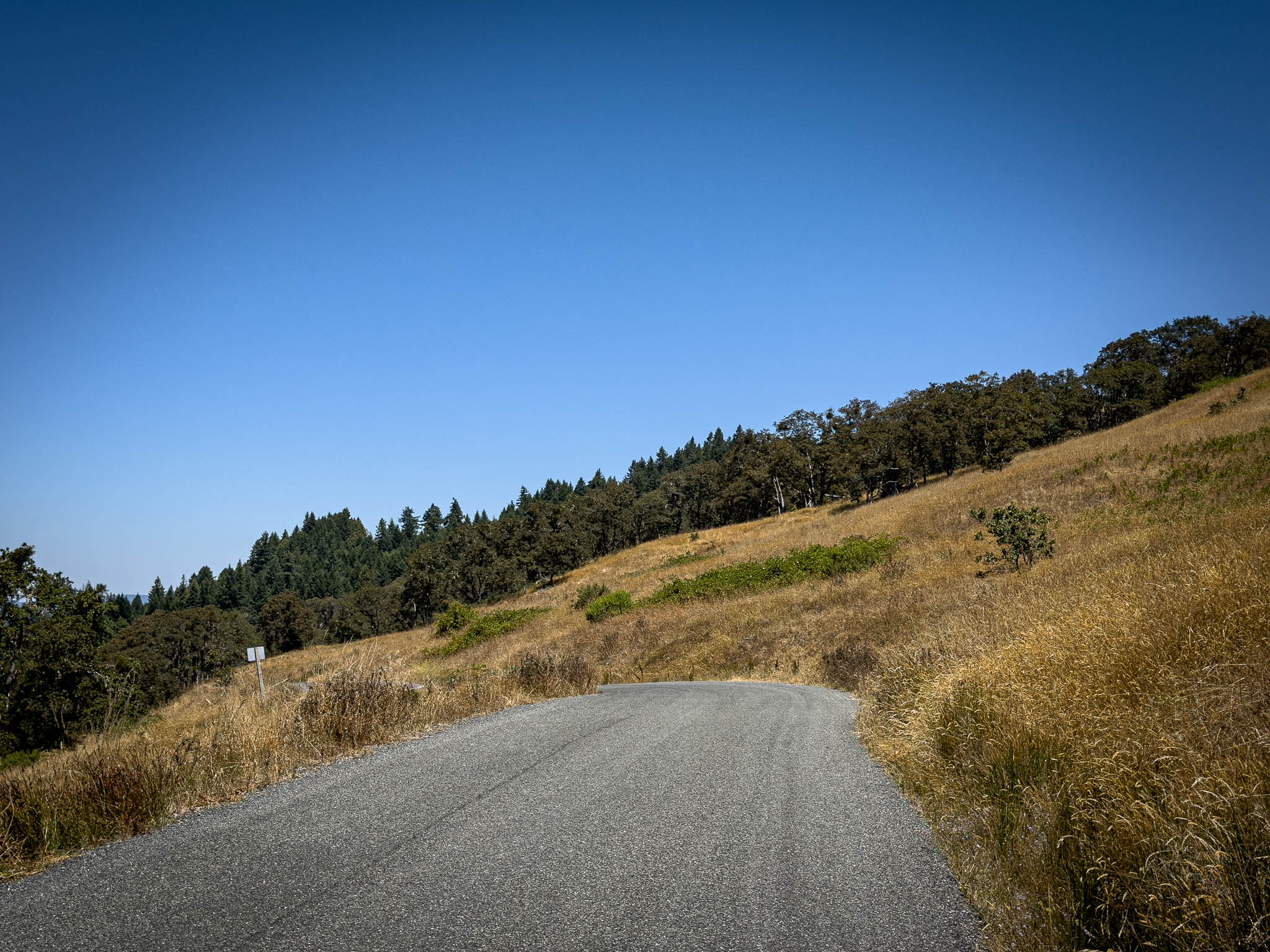
This was the road I had missed on two tours and declined to ride alone on a third. The actual ride was less dramatic than the years of buildup. It was simply a beautiful, isolated piece of pavement that kept changing as it moved toward the coast.
Climbing the eastern side of Bald Hills Road was truly something else. It was the complete California goat trail: tight, steep, and badly beaten up. Even the stretches with decent pavement had potholes that looked like popped zits, with loose gravel extending across the road around them.
Both sides of Bald Hills Road have steep grades, but they are very different roads. The eastern side is the beat-up goat trail maintained by Humboldt County. Once the road reaches the national park on the western side, the pavement becomes surprisingly good.
Before the ride, AI recommended traveling Bald Hills Road from west to east. It could not have been more wrong. Ride it east to west. That puts the steep, technical goat trail first while you are climbing, with gravity helping keep your speed under control. Once across the top, you can descend toward the coast on the much better pavement through the park.
I was glad I had waited until I felt comfortable riding it, and equally glad I had stopped allowing it to escape the itinerary. I will say, ride the road east to west. The eastern section has tight, steep turns on loose pavement that I’d want gravity on my side if I had to swerve from a large logging truck.
The Pacific first appeared as a faint blue line beyond miles of forest. I could see the coast before I could feel it. Even when I was within about ten miles of the water, the temperature change was subtle enough that I wondered when the forecasted relief would actually arrive.

Then the road dropped, and the temperature dropped quickly.
Nature’s refrigerator: the Coast
The road descended into taller trees, and the air went from slightly less hot to genuinely cool over a surprisingly short distance. After spending the morning calculating what 102, 105, and 107 degrees might do to me on a remote road, the arrival of cold coastal air felt fantastic.
When I reached the ocean, I pulled over and photographed the motorcycle against the water. Then I photographed myself beside it, still wearing the riding suit and smiling much more broadly than I had at any temperature map. The decision at Happy Camp had felt like surrendering the volcanic side of the ride. Standing beside the Pacific, the western route finally felt like something I had chosen rather than something the heat had forced me to accept.

US-101 this far north is genuinely fun. It balances speed, distance, curves, and scenery in a way that reminded me why I love riding in California. At one vista point, I pulled in beside a Caltrans truck and walked over to the woman standing near it.
“Have a second?”
She looked slightly defensive until I explained why I had approached her. I had traveled through British Columbia, Washington, and Oregon, and crossing back into California reminded me that there is no better place to ride a motorcycle than Northern California.

She agreed that it was beautiful.
“Yes, it is,” I said, “but you all know how to build roads.”
The scenery helps, but California also gives us pavement quality, appropriate turning radii, useful signage, passing lanes, turnouts, and an entire network of roads designed to move through difficult terrain. I wanted at least one Caltrans employee to know that somebody noticed.
Whenever I get onto Highway 101 headed south, my mind always drifts to my nephews. I know their exit number hundreds of miles down the highway. As the miles tick by, I know I’m getting closer and look forward to seeing them soon. I’ve been away a long time for this trip and a good portion of it has been flying solo. The adventure is fantastic, but I’m really starting to miss my peoples at home.
I wanted to eat lunch out on the coast to take the opportunity to recoup in genuinely cool weather Eel River Brewery has always been a stop for me as the beer is good, the staff is great, and I have to admit when my local riding buddy pushed me to buy the hoodie, I was resistant at first. Now, it’s become one of my favorite pieces of clothing.
I thought about stopping in Fortuna for the night, but a good friend was in Fort Bragg with family and he was more important to see than an Eel River brew (which is a pretty high bar).


The coast road was not consistently cool. Fortuna registered 61 degrees, while Garberville reached 102 as Highway 101 moved inland, away from the ocean’s protective breeze blocked by the mountains. The temperature map aggressively jumped from green to red and then back to green, making the same point the ride had been making all day: geography in Northern California can change the riding conditions very quickly.
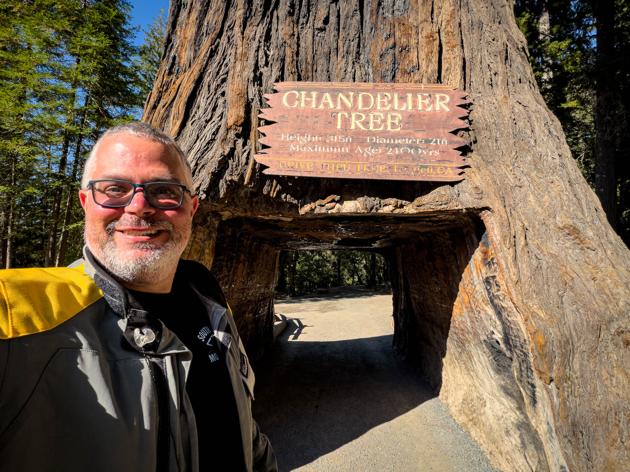
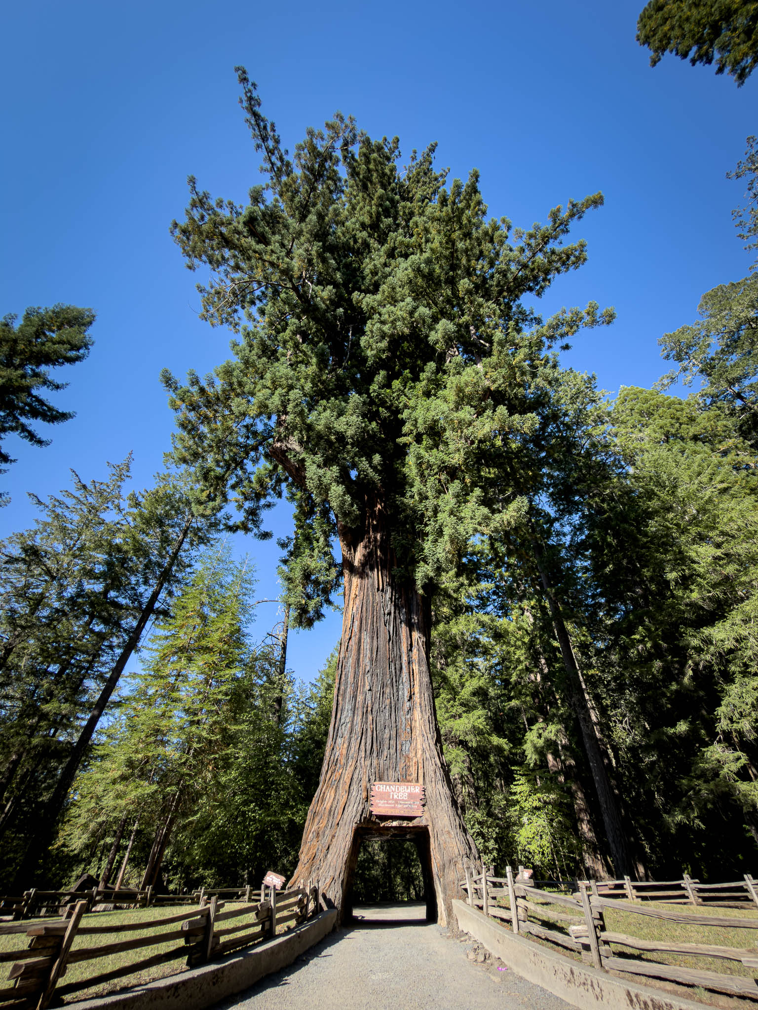
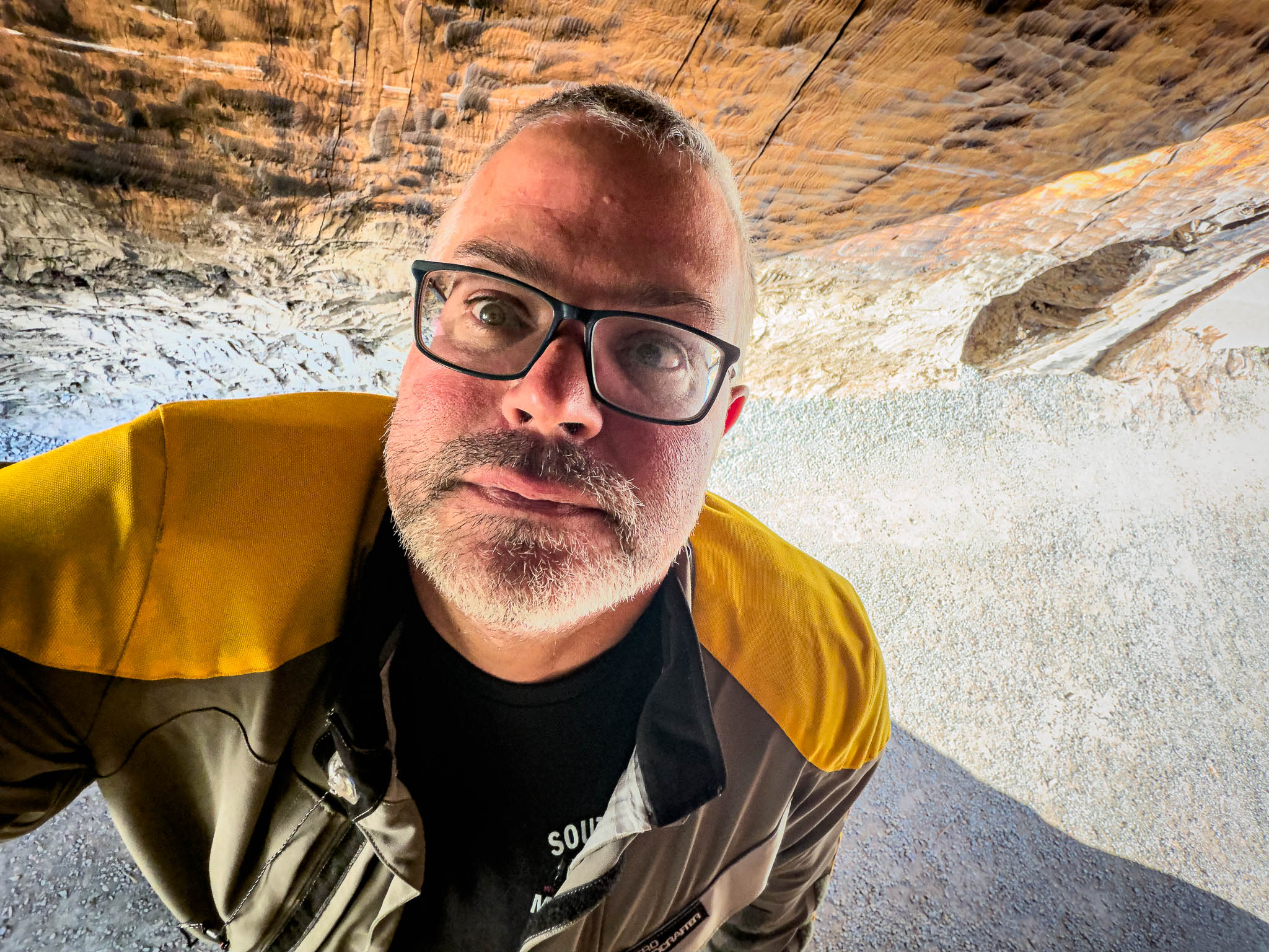
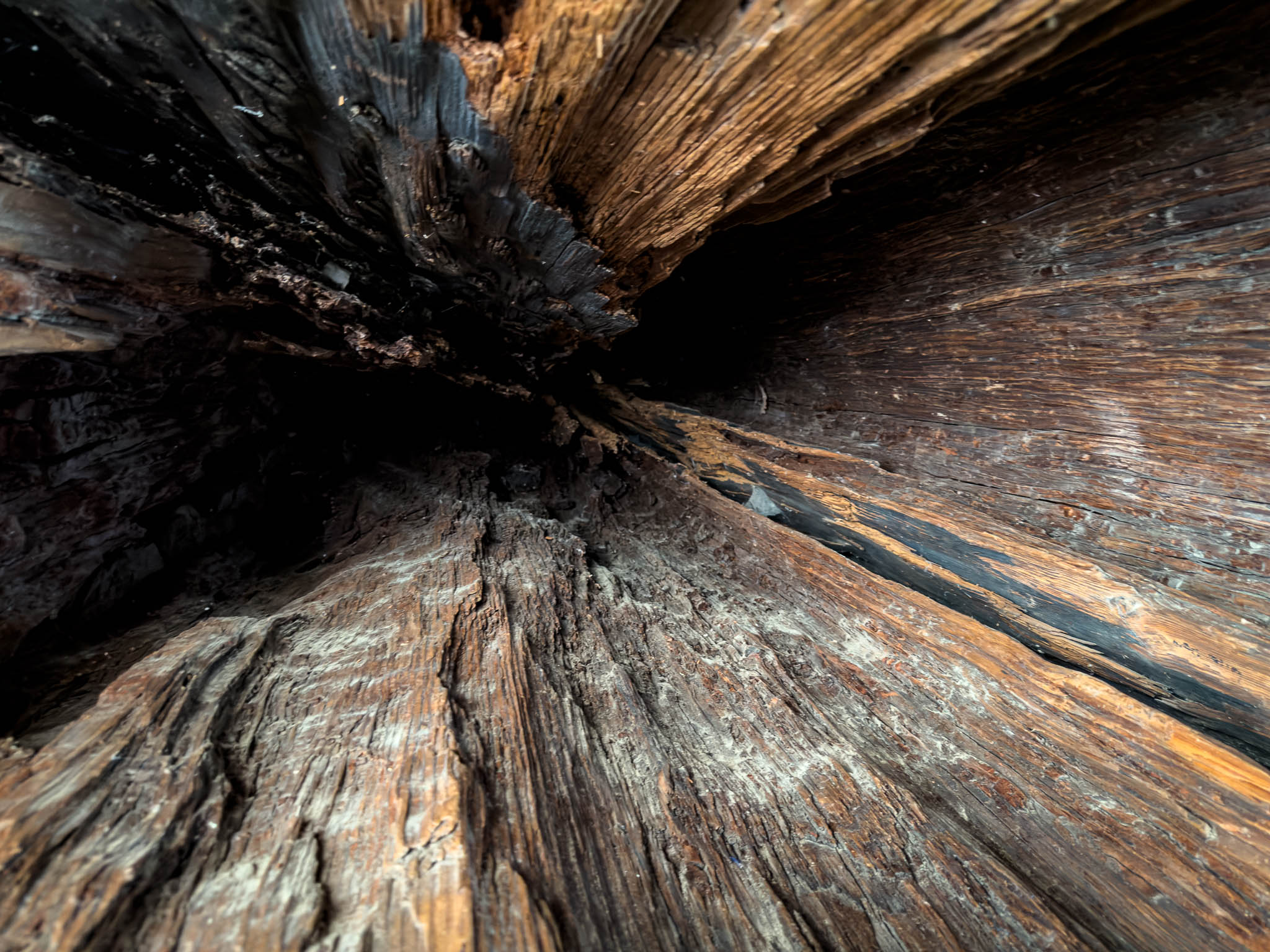
I wanted to see the Chandelier Tree as I wanted one of their quirky magnets to put on the wardrobe cabinet wall all the places I’ve been. What really struck me there was not a giant redwood tree with a gaping hole in it at the bottom. It was a mini split air conditioner. That device was spewing cold air like it was manna from heaven!
Outside, I took the respectable tourist photograph beside the Chandelier Tree sign. However, the line was long enough (damn you summer) to not park the bike in the tree, and take that photo. The tree itself didn’t leave much room for me to get off of the bike in the tree anyway, so we’ll have to settle for my mug.

After Highway 1 separated from US-101, the final miles toward Fort Bragg returned to the Pacific. Road construction narrowed Highway 1 between an excavator and the water, which gave the day a certain symmetry. I had started with road construction and a backhoe in Happy Camp, and I was finishing with road construction and an excavator on the coast. Beyond the construction, the coast road snaked through many of the treasures here that make riding in California special: the wide coastal vistas, the eucalyptus groves, the cool breeze on a hot summer’s day.
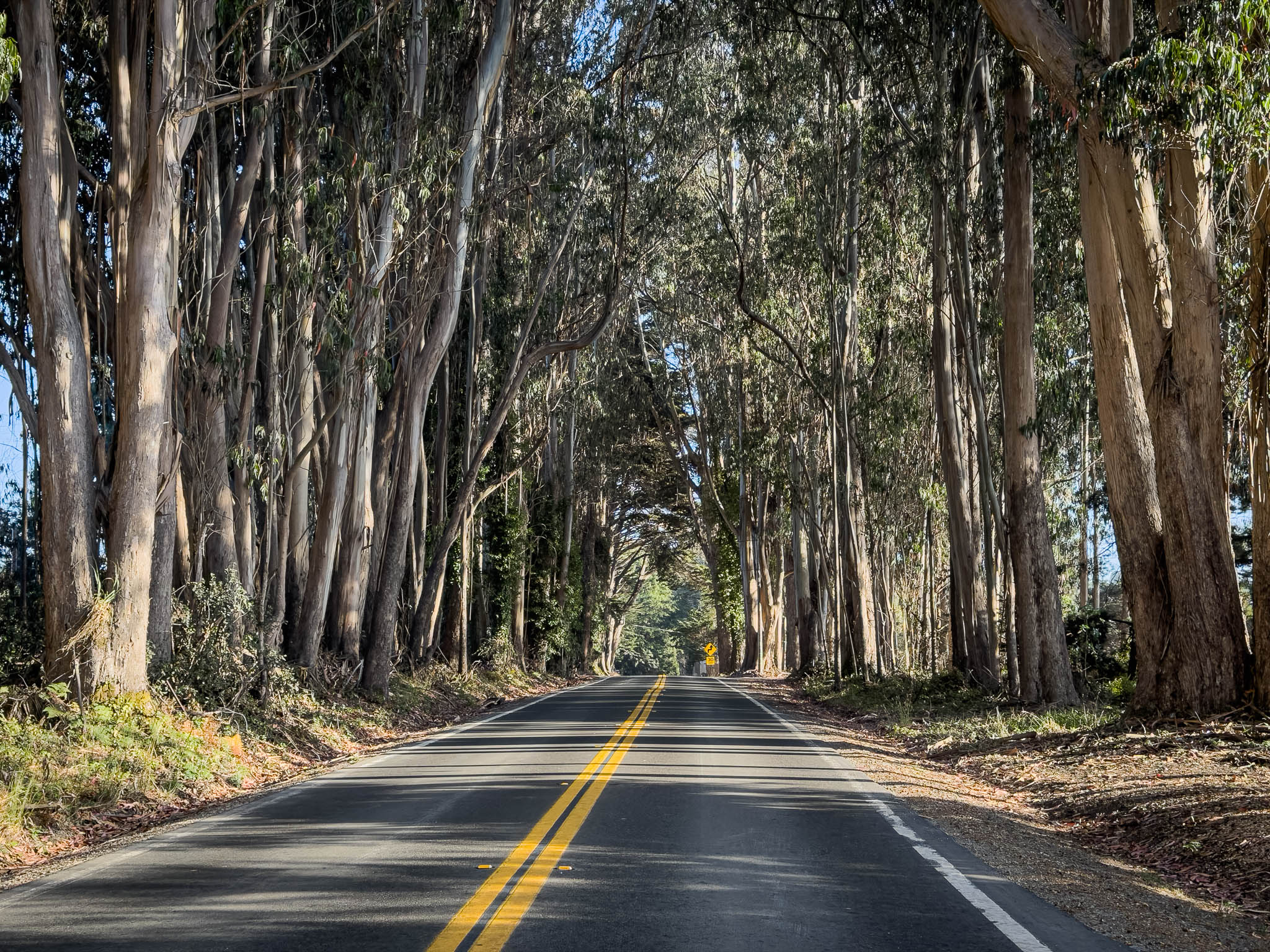
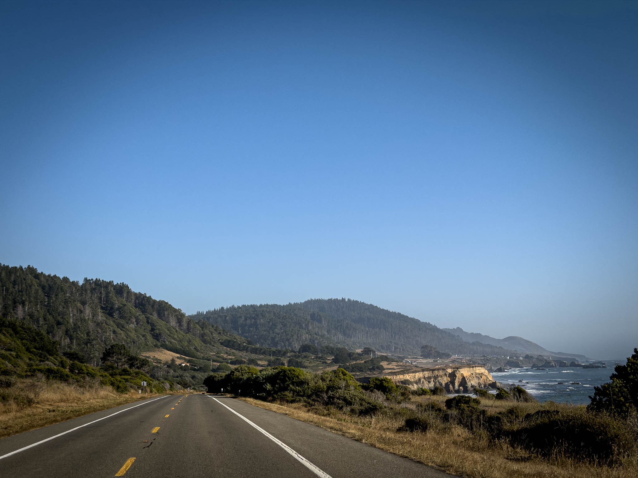
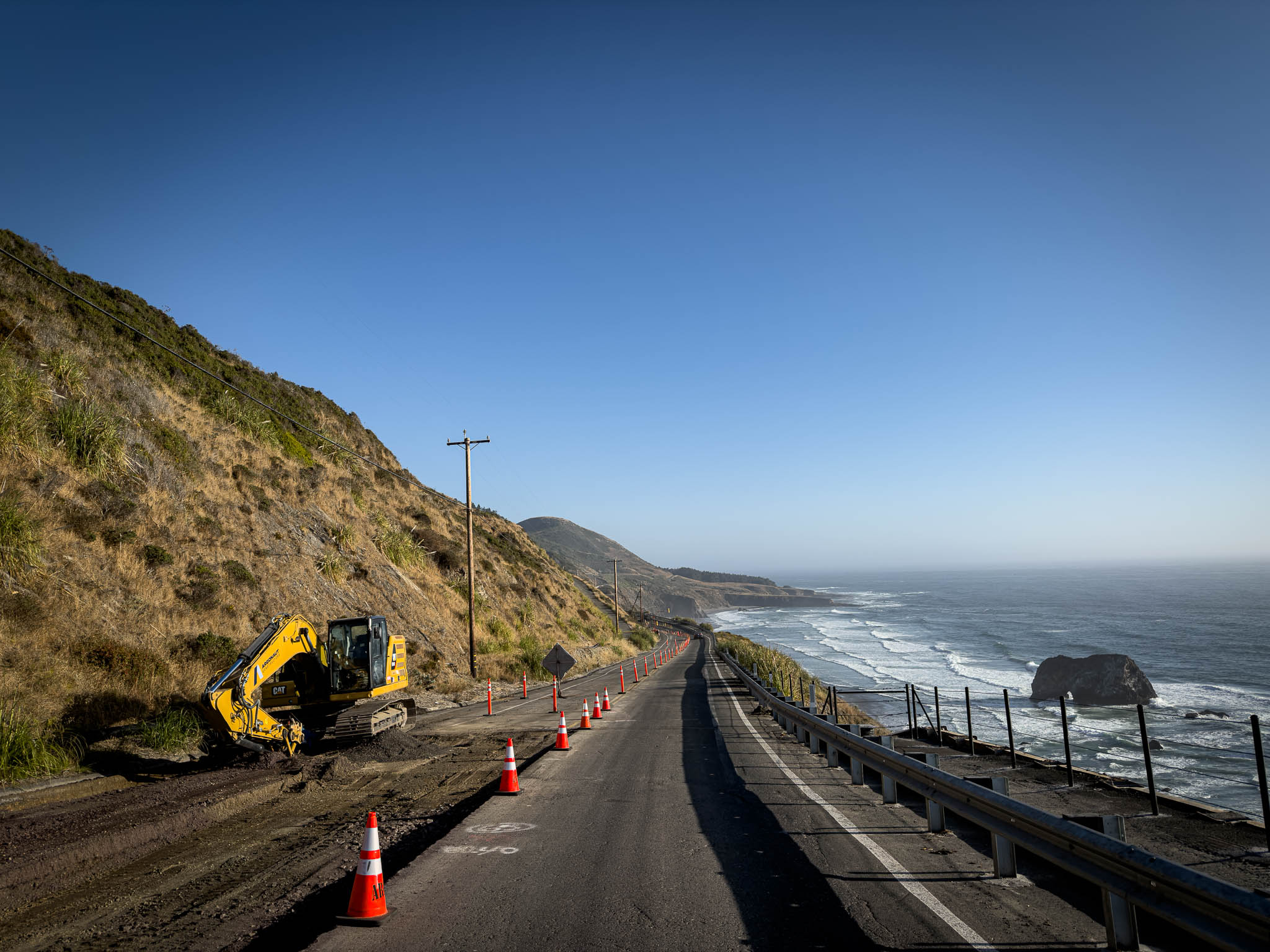
The temperature was 63 degrees when I arrived. Thank you weather gods.
Fort Bragg
I was meeting my oldest friend from the years since I came out. Five years earlier, I wrote about him turning onto Highway 20 east leaving Fort Bragg and beginning a new chapter on the other side of the country. Now smoke and heat had erased my own eastern plans and delivered me to the western end of Highway 20 instead.
The previous days in Happy Camp had given me time to understand a newer friendship more fully. This hangout represents the other end of that spectrum. We have known each other long enough to have rotated in and out of each other’s lives through major changes in location, relationships, work, and the amount of effort either of us was putting into staying in touch. Whenever we sit down together again, it still feels the same.

There was no complicated reunion. I had a cold beer. He had a cold beer. We sat on the couch. He blessed me with a foam roller and razzed me that my left calf was way bigger than my right. I put two and two together: “Well yeah, my left side has been lifting a 700-pound bike for a month!” As usual, we caught up right where we left off.

At Happy Camp, turning west had felt like surrendering another piece of the original ride. By the time we were sitting on the couch, I was no longer thinking about the route I had not taken. Lassen and Cecilville Road would remain on the register for another trip. This day had given me an almost empty Highway 96, Bald Hills Road, cold air coming off the Pacific, and a beer with an old friend.
#lifeIsGood.
Ride Details
Route Map
Start
Happy Camp, CA
Destination
Fort Bragg, CA
Distance
271 miles
The Ride at a Glance
Scenery
★★★★☆
Curves
★★★★☆
Road Surface
★★★★☆
Traffic
★★★★☆
Difficulty
★★★☆☆


Leave a Reply