
This article is part of the series Recalculating, a 28-day motorcycle journey along the Pacific Northwest coast and through its volcanic landscapes.
It had been 20 years since I’d ridden the Oregon coast in earnest. Last time through, the whole coast was socked in fog so thick I couldn’t see much past the road directly in front of me. It was cold, wet, dark, for hundreds of miles. I was a different person back then, and this blog served a different purpose. The coast hadn’t changed. The weather had.
One lesson kept coming up on this trip, over and over. Just because something isn’t visible doesn’t mean it’s not there. Mount Rainier didn’t disappear because a thunderstorm rolled in front of it. The Oregon coast didn’t get more fantastic just because the sun finally came out; it was always good. I just couldn’t see it.
Today’s plan was to actually see it. I had full sun and was going to continue the journey along the southern Oregon coast, lighthouse to lighthouse. I’d fallen for Heceta Head hard the night before, and a security guard at Yaquina Head had made the claim that the best lighthouses on the west coast sit right here in Oregon. California had some things to say about that. Thankfully, I had a full day to declare a winner.
Umpqua Comes Up Empty
I pulled up Google Maps, searched “Oregon lighthouses,” and had a list: Umpqua, Coquille River, Cape Blanco. Umpqua was first, just a few miles south of Reedsport, listed as a viewpoint rather than a walk-up — my kind of lighthouse, seen in context from a distance, the way I’d liked Heceta Head the night before rather than up close like Cape Meares Lighthouse.

I had my phone zoomed in all the way to 40x and this marker was all I saw.
I pulled into the roadside viewpoint and scratched my head. I could not find the lighthouse. I read both informational signs. I pulled out my phone, zoomed to 40x, and slowly scanned every jetty in sight. Nothing. This was a strikeout — or at least I’m calling it one, because I wasn’t about to backtrack and try my luck at sea level.
I found the lighthouse when I got home—or, more accurately, learned where it was. Umpqua Lighthouse sits inside Umpqua Lighthouse State Park. Unlike the others, this was one you had to enter the park to see up close.
Filling up on Good Energy at Chevron
On longer trips, I’ve gotten into the habit of running the tank down to the reserve light—somewhere around 20 percent remaining, depending on how aggressively I’m riding. It caught up with me on the south side of Coos Bay, where I pulled into a Chevron that could have been anywhere in middle America. It just happened to be on the Oregon coast.

Ronnie was working the full-service lanes, moving steadily from one car to the next. He greeted each driver like they were a regular, even when they clearly weren’t. He offered a quick hello and a smile, followed by a few friendly words through the open window. Sometimes he’d laugh before he replaced the gas cap and sent them on their way.
There was nothing forced about the way he carried himself. He simply seemed happy to be serving his community, and that energy carried across the station. Drivers who had arrived wearing the blank expression of another routine stop were smiling by the time they pulled away.
I had never understood Oregon and New Jersey’s attachment to full-service gasoline, mostly because I had never lived anywhere it was required. Motorcyclists in Oregon were already allowed to pump their own gas, so from the saddle, the ritual had never felt much different.
During a lull, while I was drinking a Coke Zero beside the bike, I waved Ronnie over. “I thought Oregon was still full service?”
He explained that the state had ended its mandatory full-service requirement in 2023, seventy-two years after it began. Then another car rolled up, and he headed over to greet its driver with the same warmth he had given everyone else.
It was a brief conversation at an ordinary gas station, but Ronnie made the place feel special. He reminded me that you don’t need a grand gesture—or even much time—to improve a stranger’s day.
I don’t know whether you’ll ever read this, Ronnie, but thanks for making a routine fuel stop one of the moments I remembered.
You’re a good dude.
The Ranger’s Dad Joke
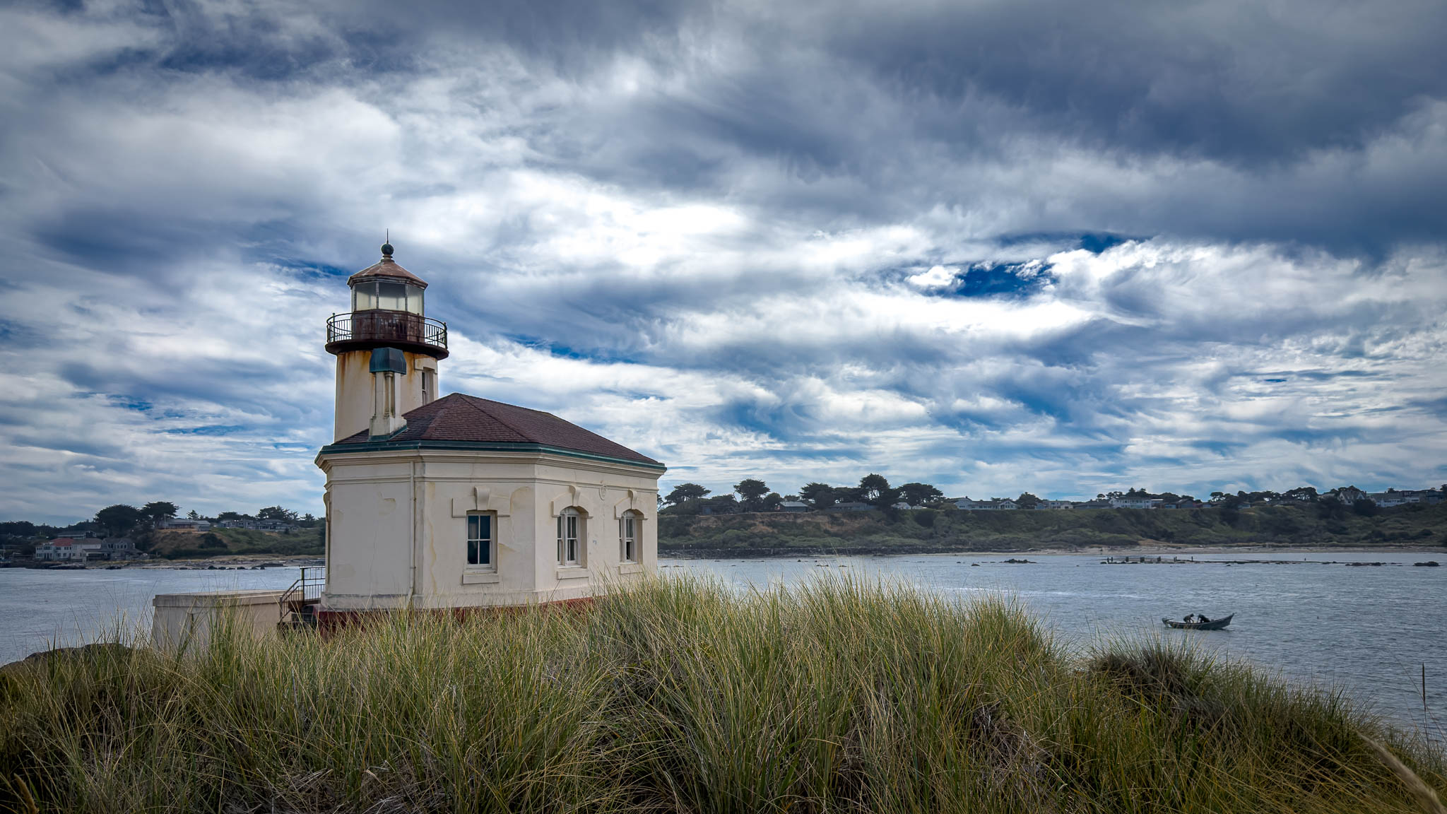
Coquille River Lighthouse was just down the road, again, tucked into one of Oregon’s state parks. I paid my out-of-state fee at the ranger station (good on Oregon for charging visitors a few extra bucks for the parks — I wish my hometown did the same for the pool). Hoping to repeat my luck from Heceta Head, I asked the ranger the same question that had worked the night before: “What’s the best way to get a picture of the lighthouse?”
One of the rangers in back — fifty-ish, stocky, more muscle than not — leaned toward the window without looking up. “With a camera!” I laughed. I should’ve come back with something about the dad joke of the year. I wasn’t quick enough on my feet.


A technique I often teach other travellers on the road.. zoom in on the camera and walk way back. It brings the background tighter into the photo. Photo was taken at 0.5x, 1x, and 4x on an iPhone 17.
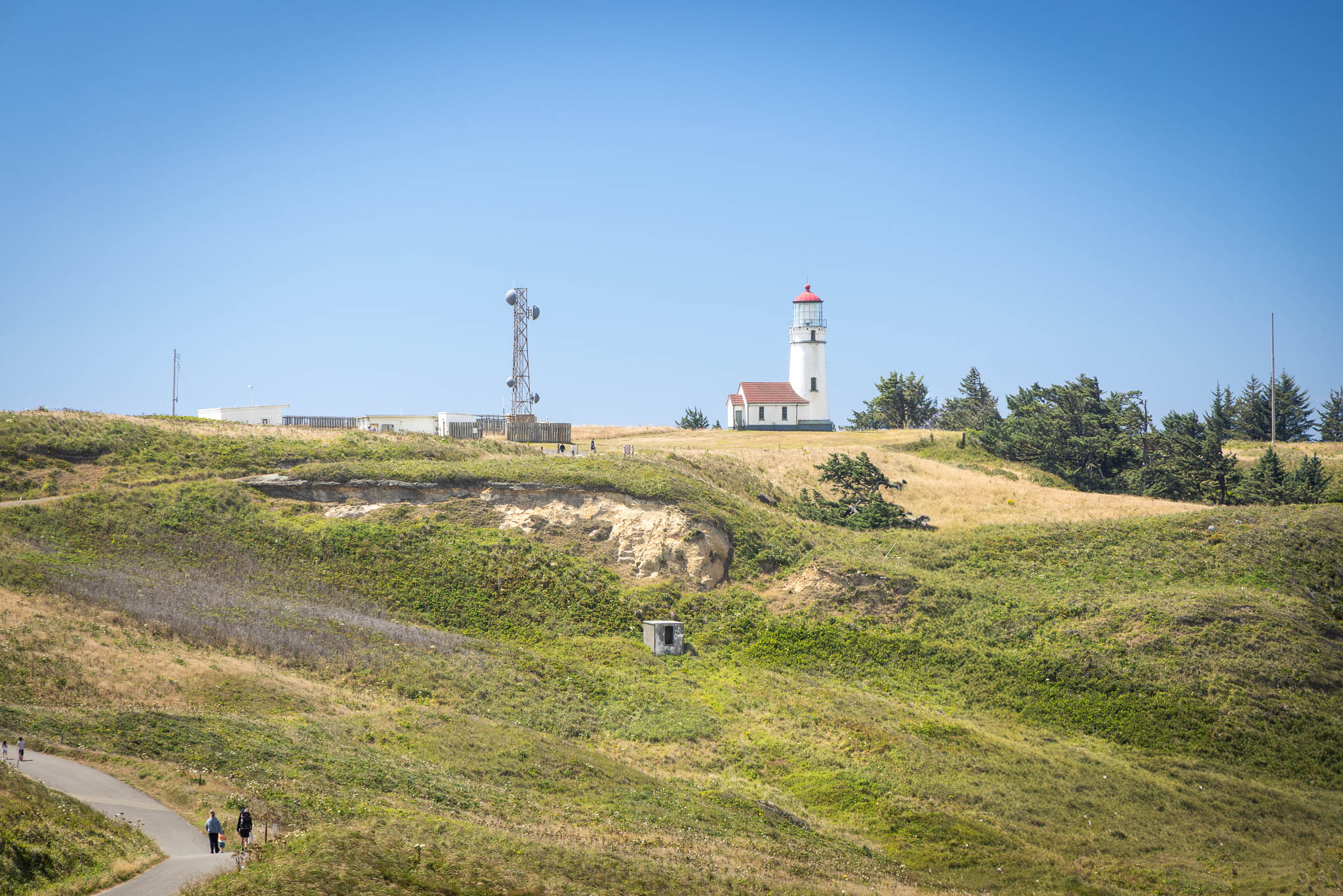
Before I ever got the lighthouse in frame, the beach itself pulled me off course. Bullards Beach was covered in driftwood — not a log here and there, but entire fields of it, bleached grey and tangled. It took me back to the west coast of New Zealand, which is the last place I remember seeing so much of it at once. Each piece looked like it had its own story to tell about the water that put it there. The lighthouse sat maybe a hundred yards off — close enough to see clearly, far enough that walking it in full gear turned into its own small commitment.
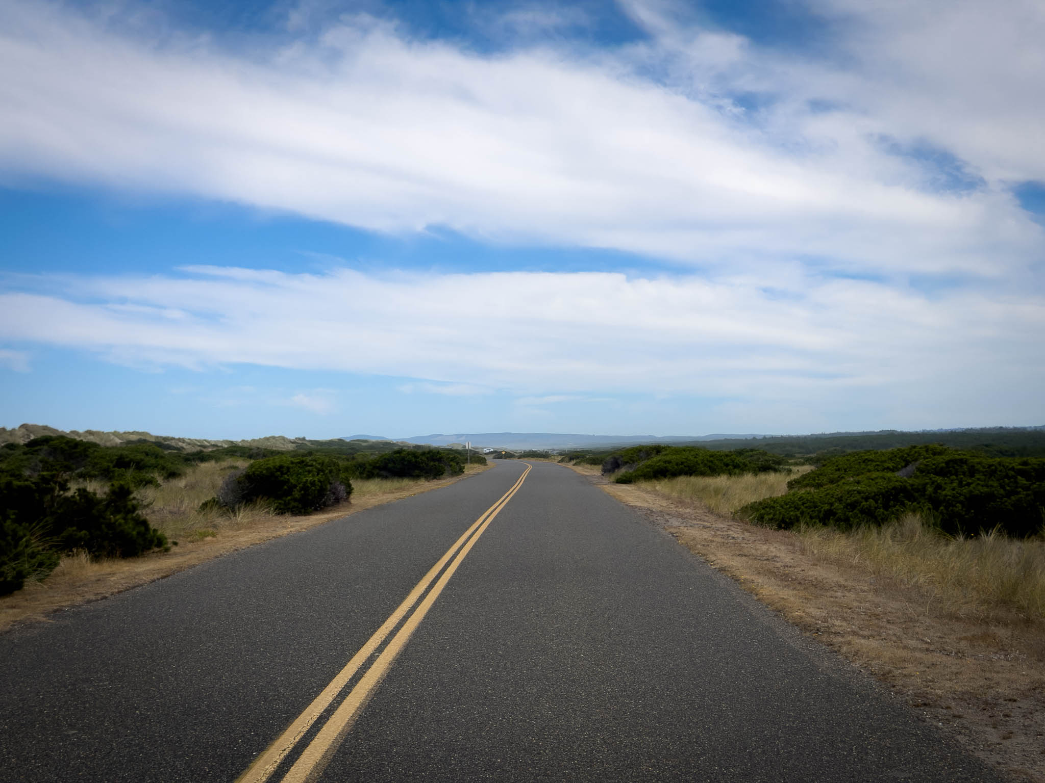
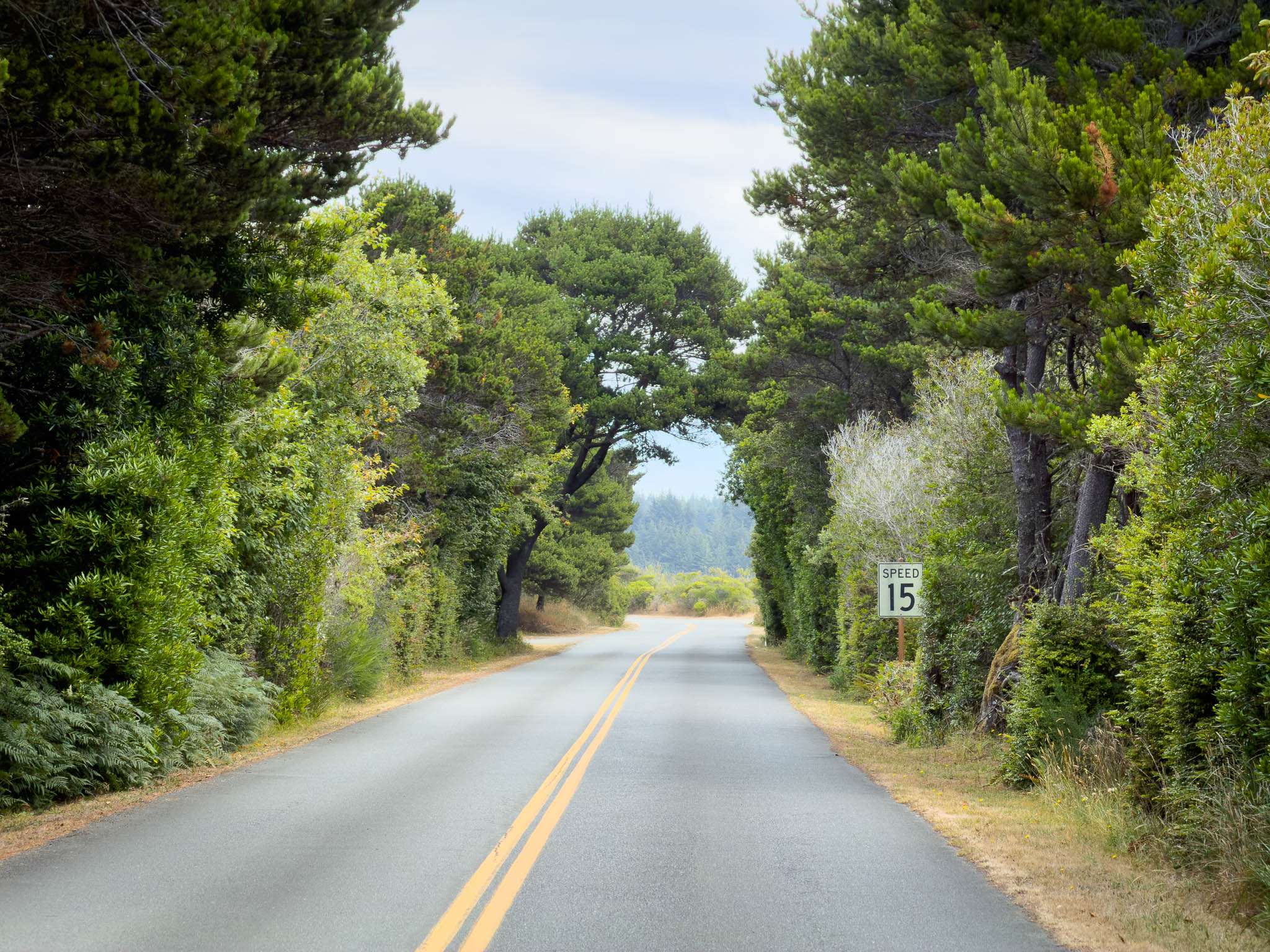
What surprises me about this coast is how much it changes corner to corner. One stretch is twisties through giant mountains and thick evergreen forest, the next is comically oversized sand dunes lining the road. Here I was looking across a sandy coastal plain to the lighthouse. I passed a slower car on the way in without thinking much of it, parked, and started shooting.
About ten minutes into it, a man in his mid-70s wandered up. “Hey — how far in are you on the bike?” I asked what he meant. He gestured at the GS, told me it was beautiful. We got into finances, accessories, adventures he’d taken and ones he hadn’t. Then he mentioned, almost in passing, that he’d been driving the car I passed on the way in. I felt a little sheepish. He was a lifelong motorcyclist. Time had finally caught up to him, and he didn’t have it in him to ride a trike.
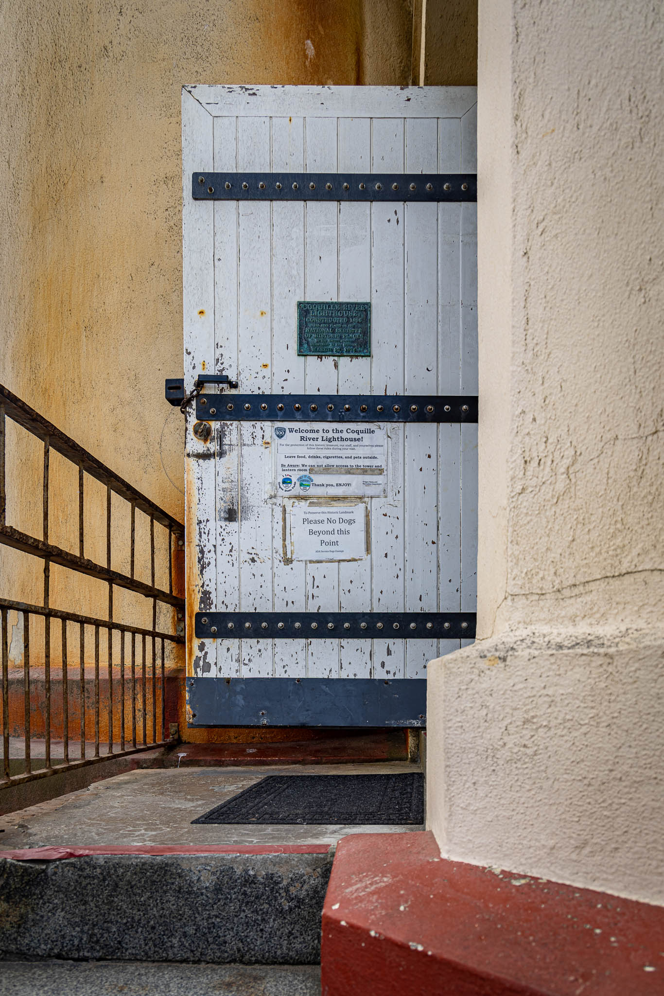
I know that time is coming for me too. I’m spending this year investing in now instead of later. I want to adventure. I want to meet people. I want to see places. I want the people closest to me to know I care, now, not eventually.
Cape Blanco and the Wind
South of Bandon I fell in behind a guy on a cruiser who clearly knew the road, and who passed me without ceremony on the left. I hung with him for a while, enjoying a more spirited pace than I’d been running. My mind drifted to Corey up in Seattle, just starting out on two wheels, eyeing an Indian Scout — not a huge leap from what the guy ahead of me was riding. I’ve gotten so wrapped up in the BMW ecosystem that I realized I hadn’t ridden alongside many cruisers in years. In some ways I felt I was missing out on some of the diversity in this sport. Noted for when I’m home. Go to the Moto Social when I get home.

The coast kept opening up as I headed south — sun, coastal breeze, a genuinely good ride. Turning onto the road to Cape Blanco, I had it entirely to myself. Whoever designed it blended straight sections and sweepers and a handful of hard corners exactly the way I like. Then, near the end: a sign. Loose gravel. The Department of Transportation wasn’t exaggerating — three sections of it, sitting right on a hill. I’m getting better at this, but there was still some squirm crossing it, and a little dread knowing I’d have to cross it again on the way out. Light on the handlebars! Light on the handlebars.
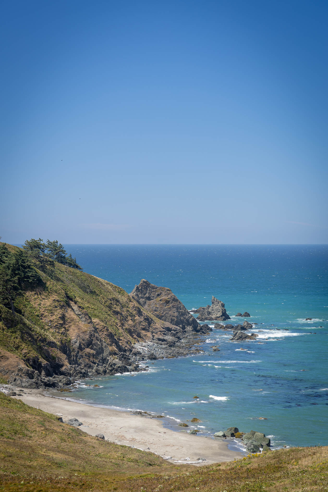
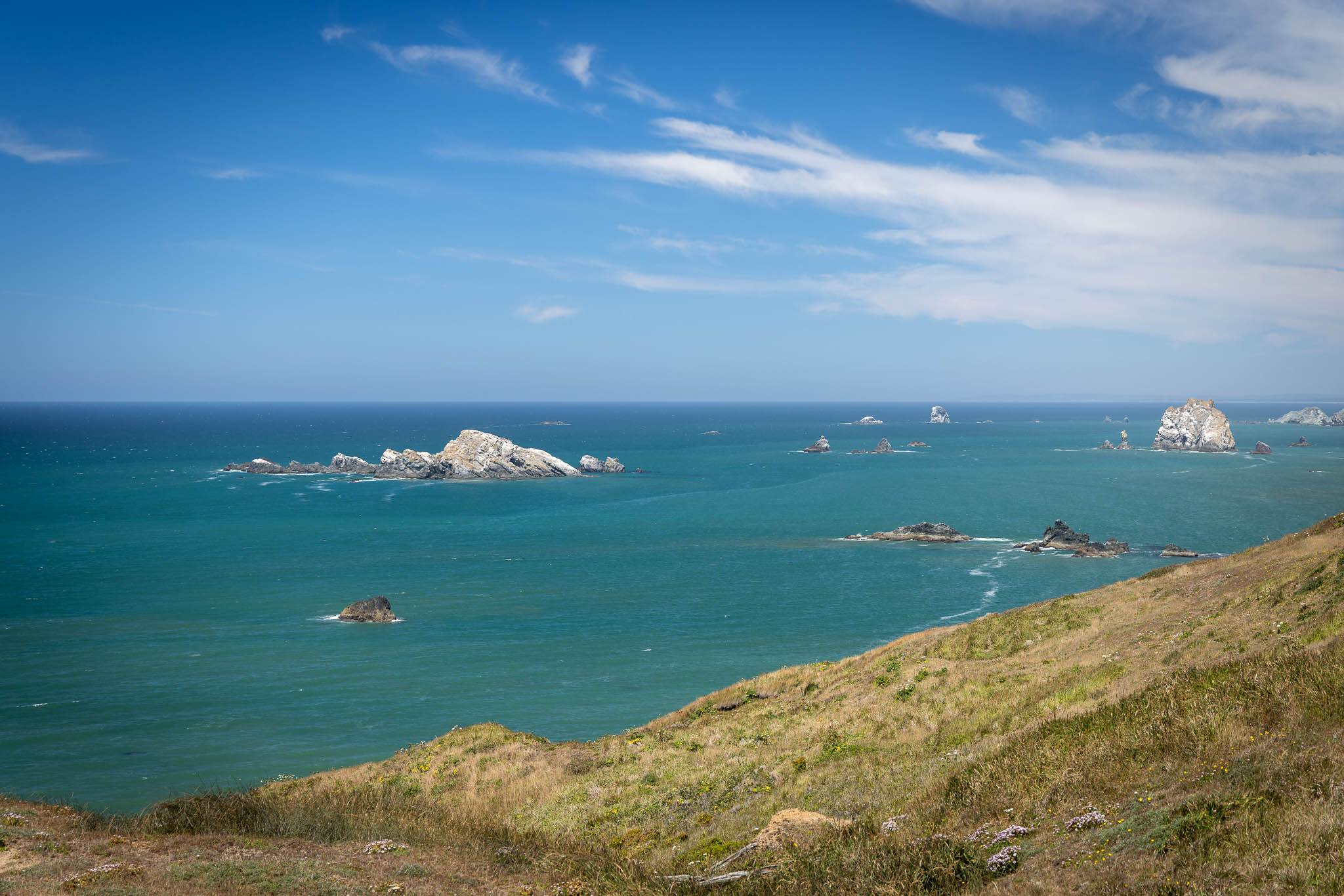
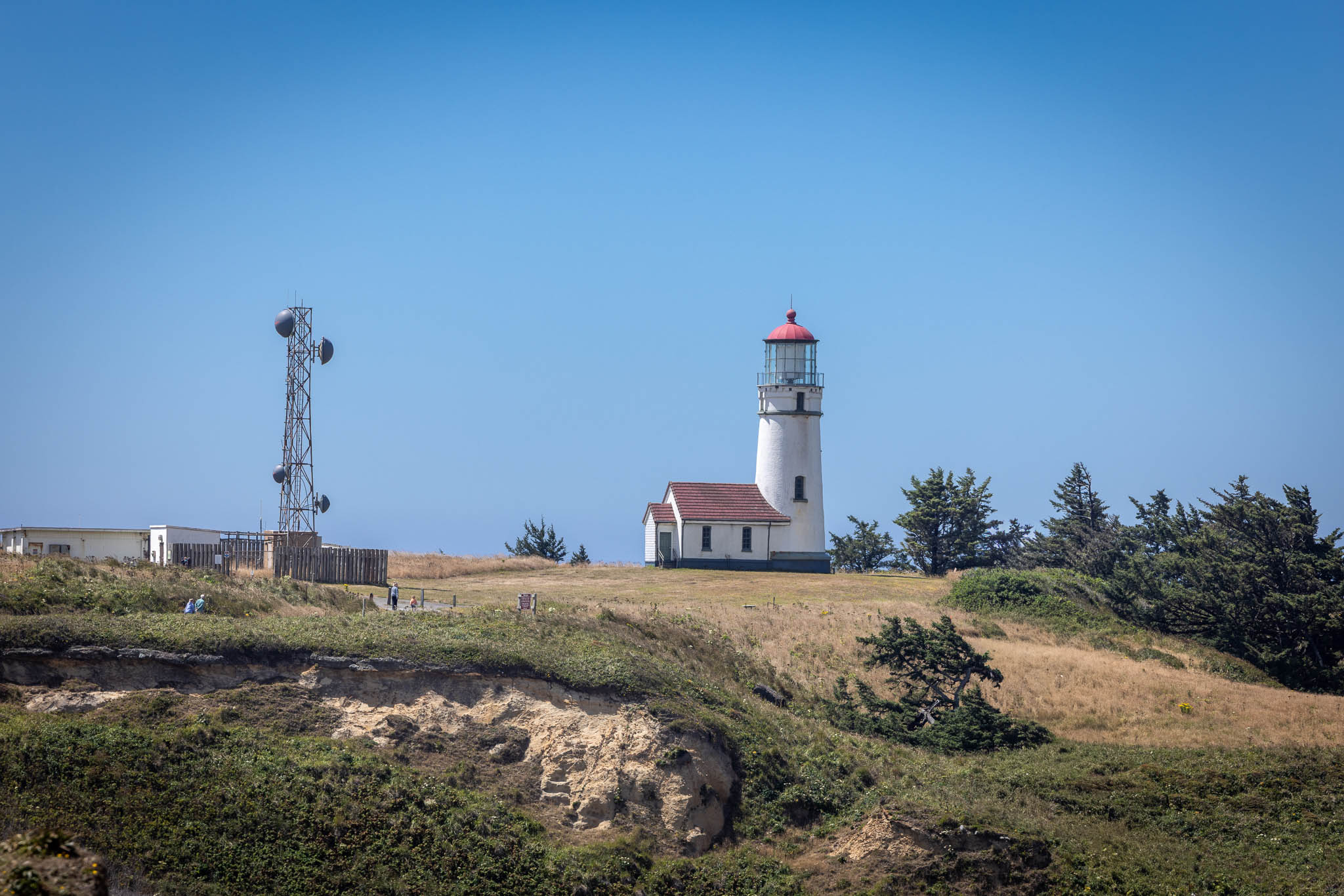
The lighthouse itself sat well off in the distance, and I wasn’t about to walk out there in full gear. So I did the lazy photographer’s move: swapped to the longer lens instead. The wind out on that exposed peninsula had other plans. I went from relatively still air on US 101 to barely able to keep the top case open while I swapped glass. In hindsight, walking might’ve actually been easier.
Brookings, By Way of a Postcard
Miles started mattering more than photographs as the afternoon wore on. Port Orford folded into Gold Beach, which folded into Brookings, the road hugging the coastline in a way that felt more and more like Northern California — except for the massive rock formations standing out in the water, unapologetic in a way this coastline doesn’t usually get further south.
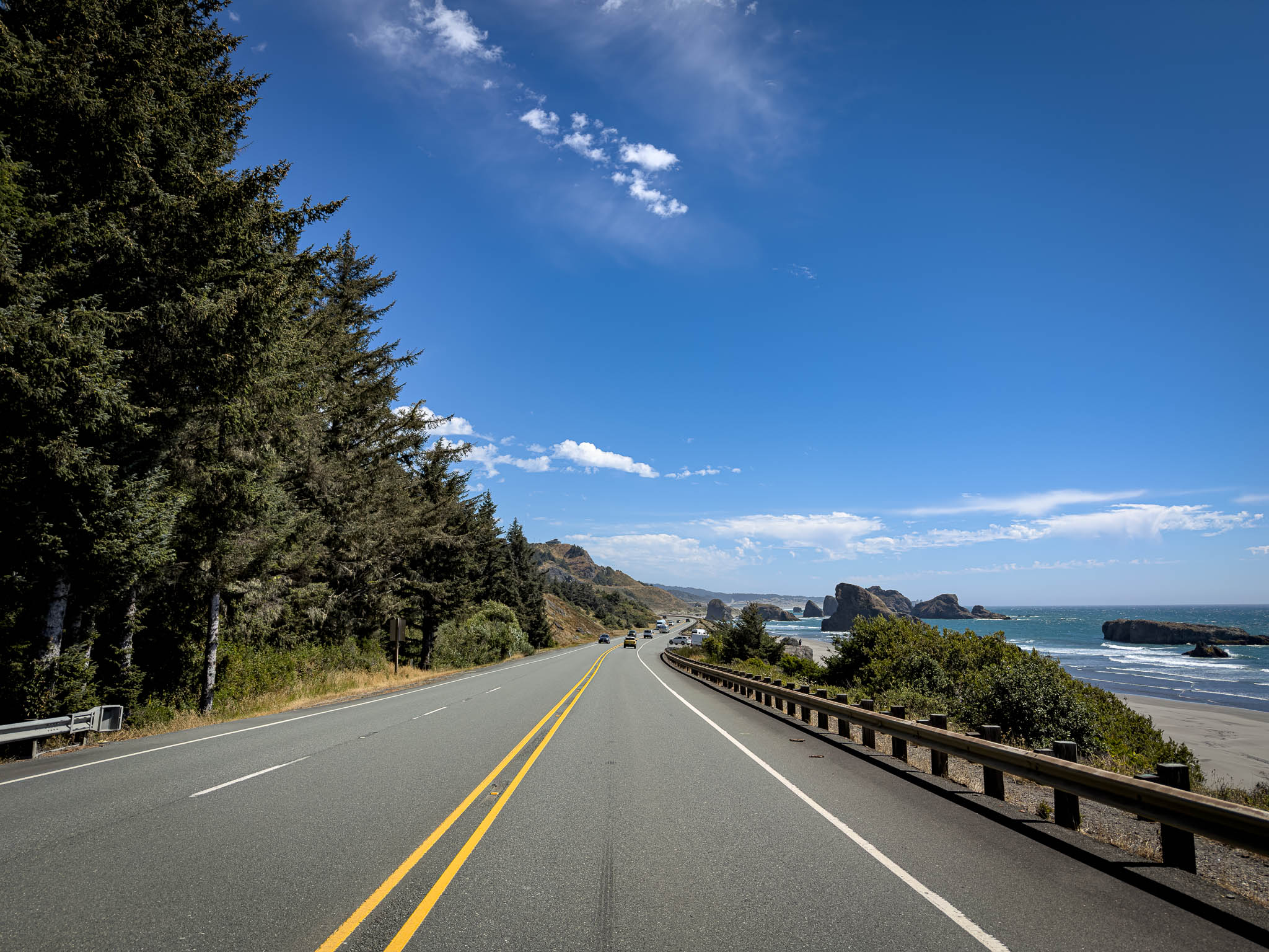
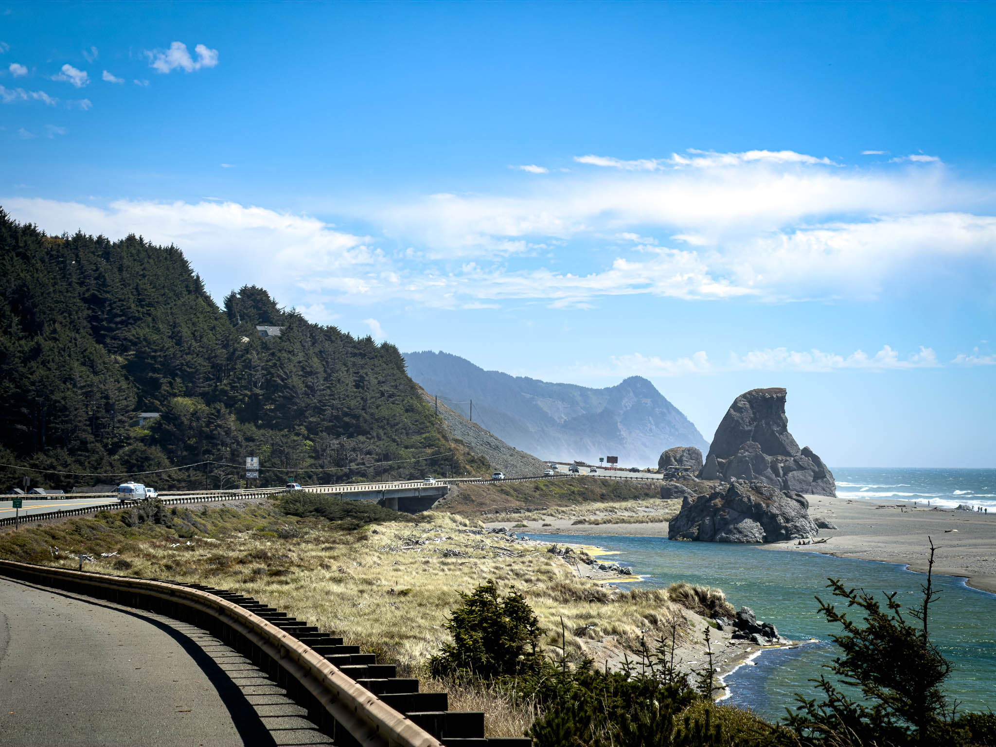
I made a 4 o’clock lunch stop in Brookings, swinging by the post office first to send a postcard home. My neighbors have been nothing but great, and I like sending them a hello from the road when I can.
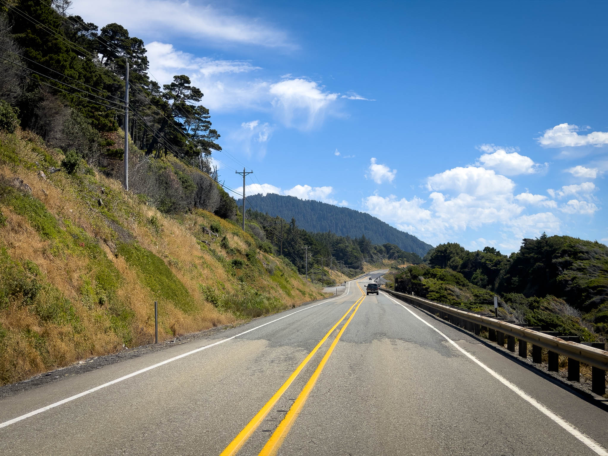
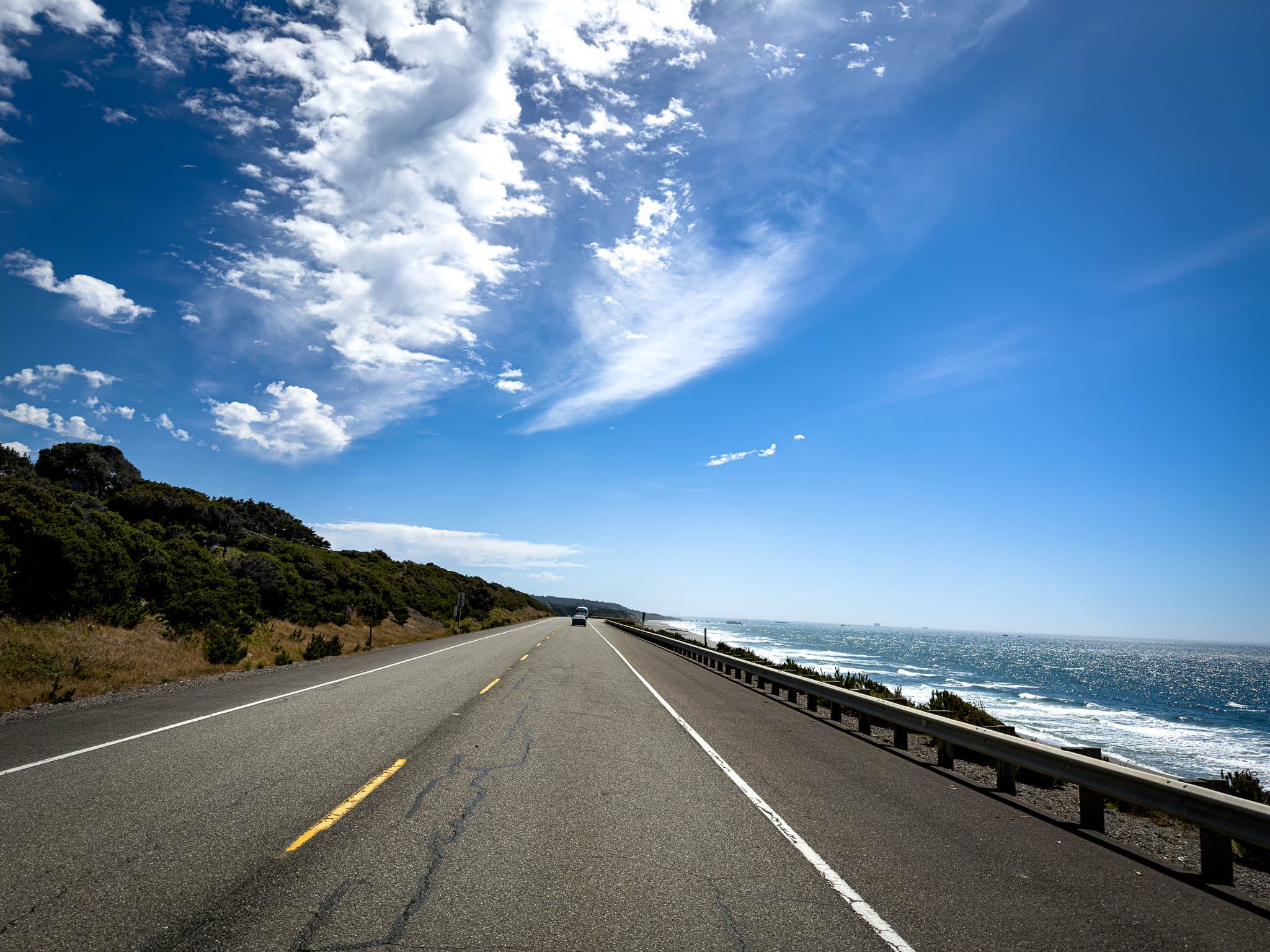
The restaurant billed itself as waterfront dining. That was a stretch — we were technically in the parking lot of a shipyard. I’d been hoping for seafood and ended up with a burger instead. To its credit, the burger delivered. I would’ve traded it for a table actually facing the coast, however.
Highway 199 and the Welcome Sign
I rolled into Northern California just before 6 p.m. with mixed feelings — I wasn’t actually heading home yet, that was still a day or two out. There’s no direct good road from the coast to Grants Pass, so the route meant dropping all the way down into California before coming back up into Oregon.

US-199 made up for the detour. The first stretch is true canyon carving, with the Smith River down below, two lanes braiding into four in a way that let faster traffic through without anyone getting squeezed. There were plentiful turnouts, unlike some states further north (ahem Oregon, ahem Washington). Everything about that road felt like home — I know Caltrans, I know their work, and it was good to feel that familiarity again.

I’d read over lunch that Del Norte County had just finished upgrading both entrances into California — the old blue signs, flat with a cursive font that looked like it came straight out of Print Shop Pro (Broderbund, if you’re old enough to remember installing it off a floppy — yes, I am that old), had finally been retired. In a state this stacked with design and typography talent, it honestly amazes me those signs lasted as long as they did.
What replaced them is part of Clean California, a $1.2 billion, multi-year statewide beautification push that Governor Newsom launched back in 2021. The US-101 monument outside Crescent City carries a towering elk and a salmon against the coastline. A few dozen miles inland, the US-199 monument does an outline of the state filled with poppies, a mother bear, and her cub.
I ended up spending a solid 20 minutes at each one — not because I needed that many photos, but because both drew me into talking with strangers. At the elk monument on 101, a couple from the Midwest were doing the same thing I was, swapping “can you take our picture” duties. At the bear monument on 199, it was a couple from Perth, Australia, road-tripping the coast. I told them I might be the first person to welcome them to California while I was technically about to leave it for Oregon. We both laughed.
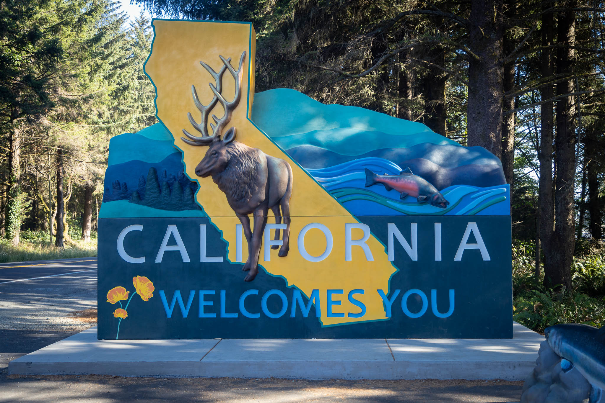
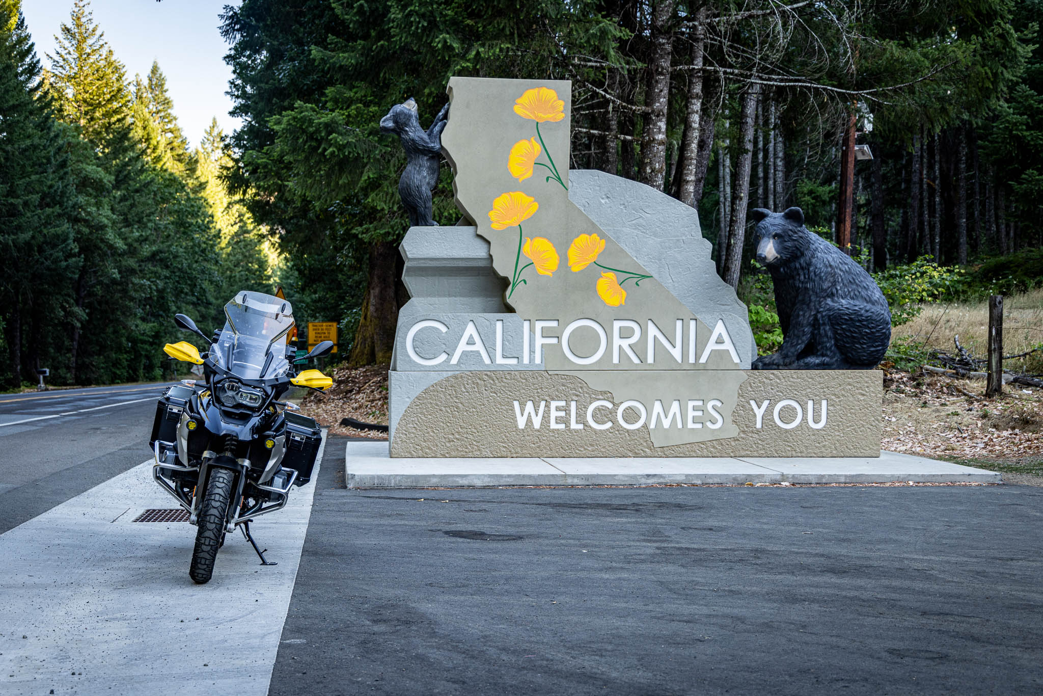
On the other side of the road sits Oregon’s own welcome sign, updated in September 2021. It’s Oregon-shaped, with a little three-tree accent. It took the community over a decade to get it built. Riding past it after California’s brand-new monuments, it struck me that Oregon had this figured out first. California didn’t catch up to Oregon. I’m thinking we were shamed into doing better. Heading north, US-199 mellowed out fast once I crossed the border, the twisties giving way to gentle grades through Cave Junction and into Grants Pass.

Oregon has its own gentle variations. US-101 has the coastal mountains. US-199 has tall trees. Well done!
At a stoplight in Cave Junction, a guy in his 40s in a beat-up 80s Jeep leaned out and yelled, “Nice bike!” I yelled back, “Nice Jeep!”
The Last Few Miles
In Grants Pass proper, a few lights later, a full-size dually swung wide and nearly ran me off the road. I hit the brakes hard. The rear window came down, and I got a hand gesture that needed no translation, followed by a second one from the passenger seat for good measure.
I was angry. Whether it was the California plate, the BMW, or something else, the move felt unmistakably deliberate.
I get it, and I don’t. I’m not exactly the California liberal poster child caricature some people around here seem to resent. I’m not here to lecture anyone about how to vote. That’s not really the point. I don’t want to pretend it is. It shouldn’t have mattered if I was. Pushing a motorcycle toward oncoming traffic over a plate and a guess about who’s riding it is dangerous no matter who’s actually on the bike.
I had less than two miles to go. I backed off because I had to, not because I felt like it.
I found the hotel and tucked the motorcycle into a parking spot out of sight. I was safe. It took most of the night for my hands, heart, and head to stop feeling what had happened.
The coast had spent all day showing me what the fog had hidden twenty years earlier. Those last two miles showed me something else. Unfortunately, not everything revealed in full daylight is beautiful.
Ride Details
Route Map
Start
Reedsport, OR
Destination
Grants Pass, OR
Distance
231 miles
The Ride at a Glance
Scenery
★★★★☆
Curves
★★★☆☆
Road Surface
★★★★☆
Traffic
★★★☆☆
Difficulty
★★☆☆☆



Leave a Reply