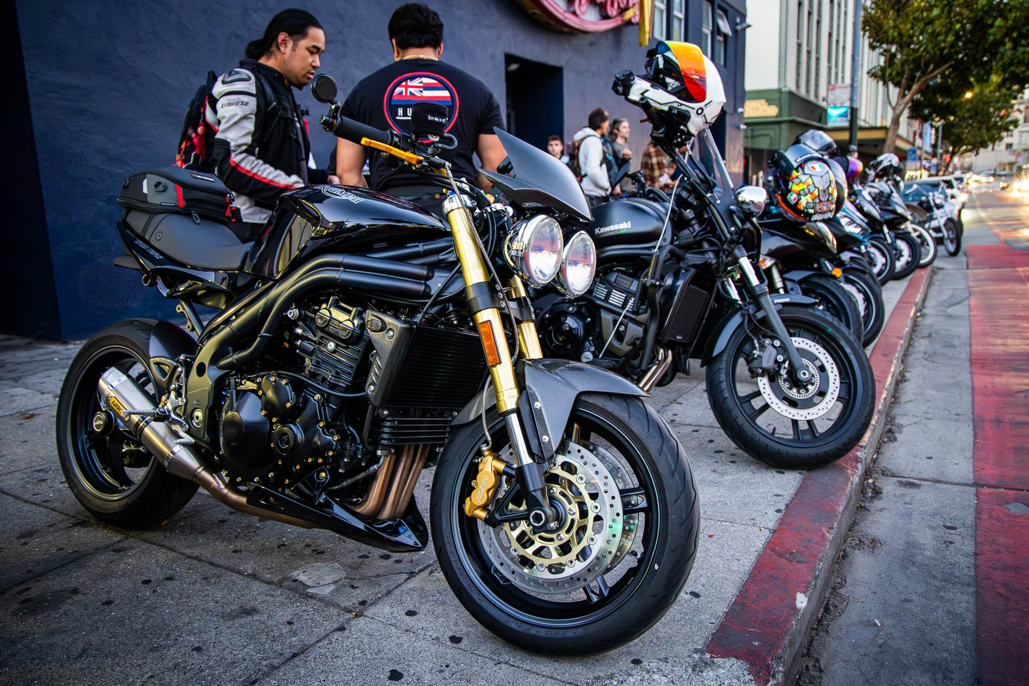
Back in the day, M and I used to run motorcycle tours for motorcycle riders who hadn’t done an overnight ride before. Over the years, we picked up more and more riders and developed quite a following. Our last tour was called “coast and volcanoes,” wandering through some of California’s most epic coastline and empowering volcanoes.
The challenge with the volcanic country is that it’s really tough to do on a weekend. Mount Shasta is 300 miles away and a good portion of that is straight-line riding throughout the Central Valley. Plus, there are numerous fantastic destinations that work well for weekends that most of us won’t do the required up and back when plenty of places in the area don’t require it.
Somehow, though, doing the Range of Light Labor Day weekend reignited my curiosity for this area – in particular, the town of Quincy. Although a bit of a grind, I’m glad I made the leap Friday night to Chico as it has set me up well to see a good portion of the southern Cascades today.

To say I slept hard would be a complete understatement. I enjoyed the leisurely morning, having a great breakfast and finishing Friday’s blog. I thought I would be on the road earlier, but I wasn’t necessarily pushing myself towards any particular timeline – other than the longer I wait, the warmer the valley will get. I finally got everything packed up and headed for the bike just shy of 11 o’clock.
Crossing 1: Highway 32 and Deer Creek
Heading straight into the mountains right out of Chico, Highway 32 starts the day. As I climb, I’m surprised at the amount of devastation to the north, likely due to the Park Fire a few years ago. As I ride, the devastation continues unchecked. I must’ve ridden at least 10, maybe even 15 miles with a burn scar following me all the way up the hill. As I reached the Cal Fire station, ironically, I glanced down and saw I only have 50 miles remaining in my gas tank. Fudge!
Last night I got gas in Williams and must not have completely filled my tank, rode too fast, or didn’t account for the drag caused by the side cases – maybe even all three. I struggled to get my phone to connect to the internet far enough back into the hills to know if there was a gas station between here and Chester. The best I could get out of my phone was to turn around and head back to Chico or sidetrack to Paradise on roads of unknown pavement quality (if even paved at all). As much as I didn’t want to turn around, going back to Chico was the fastest way to remedy the situation.


Now with a full tank of gas and 5 bars of cell coverage, I can clearly see turning around was the right option. The bike took almost 5 gallons of gas and there is no gas station between here and Chester, which baffles me as it’s not like Highway 32 is truly the backcountry and there is one town on the highway. I figured it would be like Lucia — the old gas station that has gas twice the price of the Bay Area. At a minimum, there should be a sign here that there’s no gas for 70 miles.
I added 40 miles to my overall day, but they were quick, beautiful miles on the bike. Once I passed the Cal Fire station once more, I began to see the heart of the mountains. Highway 32 didn’t summit the Cascades much like highways do further south in the Sierras. It just wandered through the crevices of the mountains, more like a canyon ride I commonly found in British Columbia. The trees were full, the pavement was good, and Deer Creek babbled alongside me as I made my way further into the backcountry.
Highway 32 soon yielded to Highway 36 – a much bigger artery throughout volcanic California. Known by some as the Volcanic Legacy Scenic Byway, Highway 36 east of Interstate 5 is the southern boundary for true volcanic California. The bright red, rocky soil common in this area liberally shows itself along the shoulders of the highway.


After lazy winding throughout the mountains, I find myself in Chester along the shores of Lake Almanor – the principal body of water in this area. Its shores are broad, and the waters are deep. It doesn’t have the beauty often found in Lake Tahoe, but it also doesn’t have the price nor the people. For those traveling through this area, I recommend traveling down the east side of Lake Almanor as the view is better with less traffic than Highway 89 on the west side of the lake. I make a quick pit stop at the overlook near the intersection of Highway 147 and Highway 89. On clear days, the view of Mount Lassen is stunning. Unfortunately, a late-season storm was blowing in, clouding the view of the mountain.
Crossing 2: Bucks Lake Road
I breezed through Quincy about 3 o’clock, knowing I would stay here tonight. I got off to a late start this morning, and I forgot to check my gas before leaving Chico. I was estimating I had about 4 hours of daylight remaining and that I needed to think judiciously about how I was going to use my remaining time. Instead of going down Highway 70, I chose to take the Bucks Lake Road and the Oroville-Quincy Highway as it was a more technical ride and likely had less traffic on it. In the rare chance that something went wrong, I’d rather be on a much larger thoroughfare in the dark than on the backside of a secondary county highway.

Buck’s Lake always has had a special place in my heart. It’s that high alpine body of water in an out-of-the-way place that makes and keeps it special. Surrounded by a community of maybe 200 people, this seasonal area remains a treasure of Plumas County. The lake has one store, restaurant, and hotel on the shore. Last time I came through here we had lunch on the deck overlooking the lake and the experience was fantastic. I appreciated walking around the property and seeing life in the shoulder season. The lake was down, preparing for the onslaught of water from the snow melt in the spring. The tourists had left the hill, leaving only a small collection of locals to close out for the winter.


As I made my way further west, I ran into another large burn scar on the mountain. Whereas the burn scar on Highway 32 was impressive on the north side of the highway, this one devastated the entire landscape. I remember this road having thick, lush forests. Now all that remained was a burned-out moonscape with a squiggle of asphalt transporting the curious motorcyclist throughout the foreign land.


I landed in Oroville right about 5:30 p.m. and could feel the shadow of the dam holding up Lake Oroville. Lake Oroville is impressive and is one of the major reservoirs of water for this part of Northern California. However, it wasn’t that long ago we had an exceptionally heavy snowpack and a surprisingly warm spring that overwhelmed the dam’s capacity to manage the influx of water. The dam’s spillway began to deteriorate with a massive amount of water flowing over the failing spillway. While dam failures are not common, something about living in the shadow of a dam of one of California’s largest reservoirs in earthquake country didn’t seem right for me. I remember traveling with extended family through New Richmond, Wisconsin. When I asked my aunt how the town got its name, she replied it used to be called Richmond before the dam failed during the 19th century. Understood. Oroville is not the town for me.
Crossing 3: Highway 70 through the Feather River Canyon
Once I got through the town of Oroville and exited onto Highway 70, I started to look for gas. I wasn’t going to be fooled twice! Surprisingly, I only found one gas station between here and Quincy. I had some reservations if this gas station was going to even be open, but I’d get there before 6 o’clock and I was willing to roll the dice.


The first few miles of Highway 70 were a lot like Highway 32. It had wide sweepers giving way to fast miles and fun times. I almost missed the turn for the gas station but made a quick maneuver into the tiny left-hand lane for a solid recovery. This town reminds me of Yokohol Valley, the town that was renamed under protest of its former name of Squaw Valley – just outside of Fresno. The minimart at the gas station had the same igloo construction. Here, however, this was the first time I had seen a major gas station having the gas tank above ground, effectively on a dirt lot as the concrete pad only covered enough ground to hold the fuel tank.


With $20 of gas now in my tank, it was time to finish the ride. On the BMW Range of Light tour, we came down Highway 70 in the morning. Now I was heading back up in the late afternoon. What makes this stretch of highway special is that it travels deep inside of the Feather River Canyon, sharing the journey with the railway. Sometimes the train tracks are above you. Other times the train tracks are below you. You’ll share canyon crossings with the train tracks above and below the road throughout the journey up the canyon. I also passed a bunch of hydroelectric infrastructure, which was neat to see how power gets generated in this part of the state. While I enjoyed my time along the river, I suspect the Feather River Canyon shows its best beauty with a touch of snow on the mountains and the river in full swing – likely in late May, maybe even early June.


I rolled into Quincy just after dark with a smile from ear to ear, having had a great day in the mountains!

Crossing 4: La Porte Road
I only had about 210 miles to ride today, so time was definitely on my side. Today’s route was La Porte Road. I remembered this one being the most complicated when I visited this area in 2010. It was a little rough around the edges, with tight, difficult turns and gravel scattered across the pavement. In many ways, it felt like the peer of Ebbets Pass when crossing the Central Sierra.
Breakfast at the hotel continued the theme: spartan, but solid. They even had hard-boiled eggs for the protein lovers out there. The air was definitely crisp as I left the hotel this morning. Fall was coming.
I rolled out of town looking for Sierra Cycle. Unfortunately, they were closed when I arrived and certainly closed for my departure on a Sunday morning. When I came to this town in 2005 as a new motorcycle tourer, my clutch was leaking fluid. The technician who helped me at the time (Andy, if my memory serves me correctly) took the time to understand what was wrong, assess the severity of the problem, and figure out how to fix it. Sierra Cycle wasn’t a Suzuki dealer, but Andy was confident that I could make it to Grant’s Pass with relative ease for a new clutch slave cylinder. I wanted to give them a shout-out for their kindness, and if you’re ever in the area with a Husqvarna motorcycle, definitely give them a look!

A few miles out of town, I took the right turn and started up La Porte Road. The pavement was clean, and the turns flowed from one to the next in a way that would make even the most discriminating motorcyclist smile. What really surprised me was how little traffic there was in the area over both days. I didn’t have to pass many cars—maybe one or two per crossing. Even then, most drivers would pull over or wave me on.


I had to pinch myself to remind myself that it wasn’t a dream, but real-life motorcycling. La Porte Road was different from the other crossings. This road felt much like another mountain pass. I was clearly climbing a mountain, up to about 6,500 feet. As the turns continued, the views got better, and much like in the Central Sierra, the eastern slope of the mountain range was shorter and steeper, leading to a fun ride up to the top of the pass.


Unlike the Central Sierra, the roads here don’t clearly delineate a pass—the kind of top destination where motorcyclists like myself take a picture to share with all their friends back home. La Porte Road is a bit more understated, but every bit as good as the famous four Sierra Passes.
I saw the sign for Little Grass Valley Reservoir pointing in the other direction, only two miles away. Being someone who always has a soft spot for high mountain lakes, I wanted to take a look. I wandered my way through the neighborhood, passing house after house, each with its own “Private Property – No Trespassing” sign prominently placed in the front yard. Must not be a friendly neighborhood for newcomers, LOL. As I made my way around the lake, I couldn’t find the boat ramp. Eventually, the road turned to dirt and I decided to turn around. Since I was traveling alone with a heavy bike, I figured I wouldn’t press my luck, especially since I hadn’t seen anyone else in the past hour.


As I made my way back toward the exit, I saw a sign for a campground. I decided to explore, and it was equally desolate. There were no cars, no screaming kids, no barbecues. Nobody. It reminded me of the Jimmy Buffett song “When the Coast is Clear.” He sings about the empty tourist town after everybody goes home. Riding around this campsite on the last day of summer, I was surprised to find I was the only one in the entire campground.


I eventually found the boat ramp and could see the lake being prepped for winter. The water level was just about right at the end of the boat ramp, and the walkway had just enough coverage that the main driveway didn’t get this traveler’s boots muddy.

I paused. I recognized that places like this make me happy, and I need to do this more often. I miss lake culture from back east, yet the lakes here are SO MUCH BETTER. Yes, they are cold, but the clarity of a California high alpine lake is unmatched by anything back east!

The afternoon was starting to get away from me as it was now about 1:00. If I wanted lunch anytime soon, I needed to snap to grid. The only town of any major significance on the road is, obviously, La Porte. It’s a small outpost by every metric, with a population right around 65. I stopped in the town’s only restaurant, Reilly’s Saloon & Café. It’s the kind of place where everybody knows your name. Dollar bills were stapled all over the ceiling in a couple of different currencies. The long bar had a couple of local characters, all engrossed in conversation.
I took a seat at the end of the bar and ordered a Coke Zero (sorry, we only have Diet Pepsi—grr), chicken fingers, and fries. One of the locals quickly picked up that I was a motorcycle rider, and we had a lovely chat about wandering around Little Grass Valley Reservoir and how the road is only paved about two-thirds of the way around the lake. He further explained how he likes to take his full-dresser Harley around that section of the lake, and all I could think was, OMG, you’re either a hero or a masochist—maybe even both—as that road would definitely make the GS break a sweat. Yes it was that Harley below.


His wife leaned in and laughed, “You know, I don’t like going over La Porte Road in our RAV4.” She went on to say, “Looking over the cliff without any sort of guardrail scares me.” I smiled, as I’ve been with many flatlanders and folks from back east who find the mountain country in this area somewhat nerve-racking, since the roads don’t have the construction practices common in the city. Hey, at least La Porte Road has two lanes all the way through—unlike Ebbet’s Pass!
I headed down the hill about 2 PM, and the lower half of La Porte Road was as enjoyable as the upper half. The road remained twisty in all the right ways, although once the hills finally succumbed to the Valley, the road straightened out as well. The temperature also got warmer and warmer, making La Porte an optimal destination in the late spring or early fall—even if the road is still closed throughout the winter.
La Porte Road drains into Highway 70 at Yuba City and dances a docile Main Street with traffic lights to a full-line super slab freeway as it merges into Highway 99. At this point in the afternoon, I’m competing with everybody else returning from the mountains in the Bay Area’s famous Sunday evening rush hour. Interstate 80 through Sacramento is backed up in all the known places, made worse by construction in the area. I decided to take a massive diversion well north of Sacramento, making my way back to Interstate 505—the freeway that started this trip out of the Bay Area. It was a lovely smorgasbord of farm roads and freeways, but eventually got me down to Vacaville and on into the Bay Area.
With 35,850 miles on the GS, throughout the trip the bike reminded me that service will eventually be due—but what the bike doesn’t see is the smiles behind the miles, and this one was a definite win!
Route:


Leave a Reply