
This article is part of the series Recalculating, a 28-day motorcycle journey along the Pacific Northwest coast and through its volcanic landscapes.
R and I had each tried to get to Paradise before. On two different trips, we’d each run into different routing challenges. Every previous attempt had ended the same way: the mountain let us see its face from the Sunrise Visitor Center, an approach that keeps its distance no matter how long you stand there. Paradise is the park’s other major visitor area, and it offers something more intimate with the mountain instead of a formal introduction from across the room. This time, the mountain and the surrounding weather let us in.
Before we left, R had gone deep into what it actually takes to summit Rainier: the permits, the training, the guided climbs, the people who attempt it every year and the small number who don’t come back down on schedule. Mount Shasta, its shorter cousin to the south, is only a few hundred feet lower, but everything R read made Rainier sound like the more complicated and consequential undertaking. His research made one thing clear before we’d even parked the car: this is not a hill with a view. This is a mountain that requires a real commitment from anyone who wants to stand on top of it, and neither of us was attempting to be that person on this trip.
I’d told myself that a Wednesday would work in our favor. I’m still new to being laid off, but I’ve already worked out that Wednesday is one of its better perks: everyone else is at work, and it’s the day furthest from any weekend crowd, which should mean the most intimate possible version of a national park for the newly funemployed. That theory held up right until we pulled into the parking lot at ten in the morning and found summer at a national park playing the main character. The lot was full. We parked in spot 85Z, which meant we’d be hiking before the hike even started.
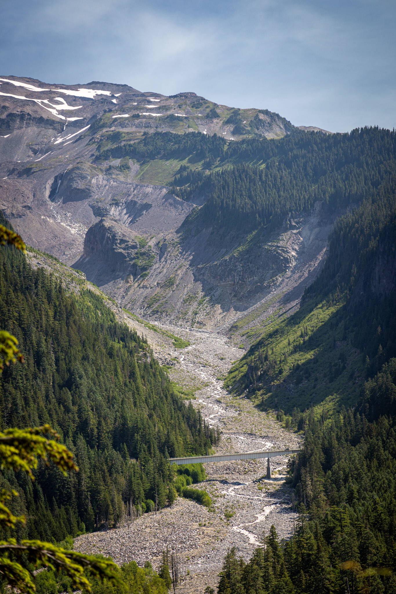


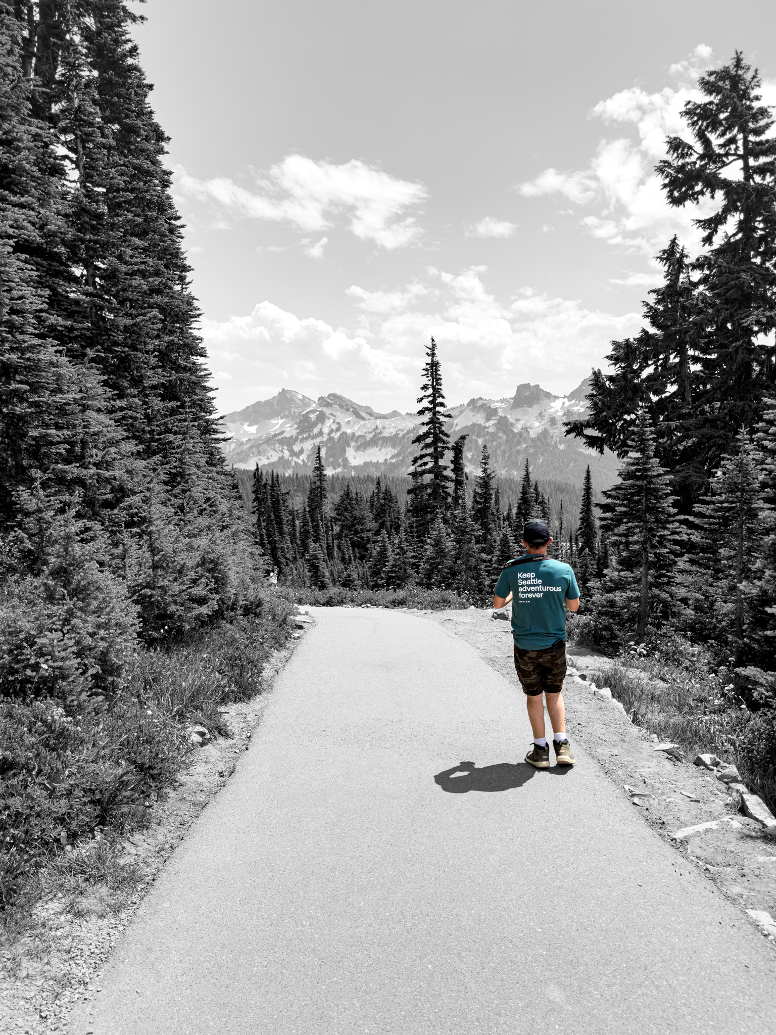
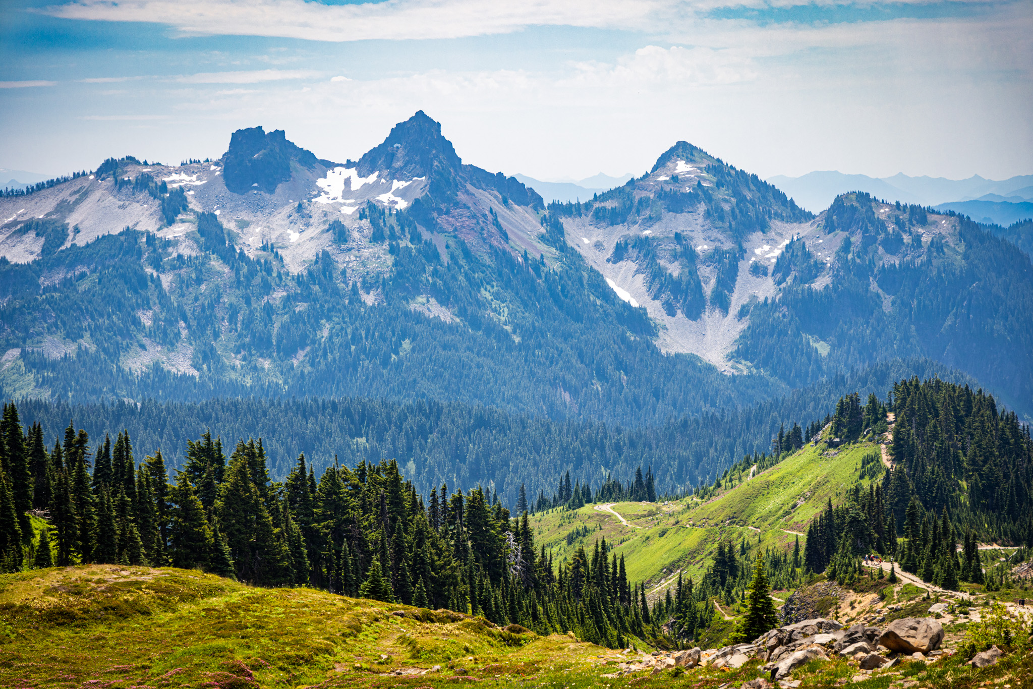
Paradise sits at 5,400 feet, so the climb begins with the altitude already accounted for. I’d been eyeing the full Skyline Trail loop through Panorama Point, a five-and-a-half-mile round trip at that elevation, and decided against it: I’d had leg surgery six months earlier, and I wasn’t confident I had that hike in me yet. We settled on Glacier Vista instead, with an agreement to keep going higher if we both still wanted to once we got there.
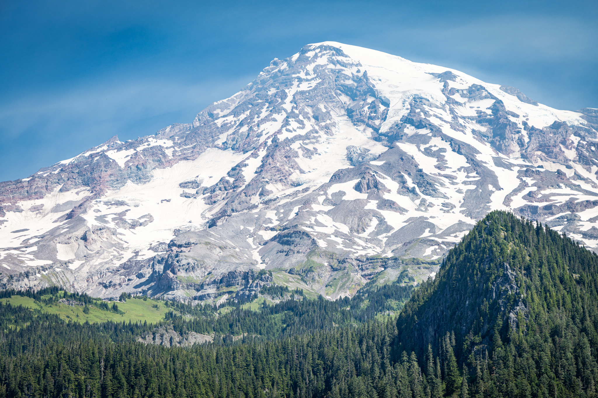
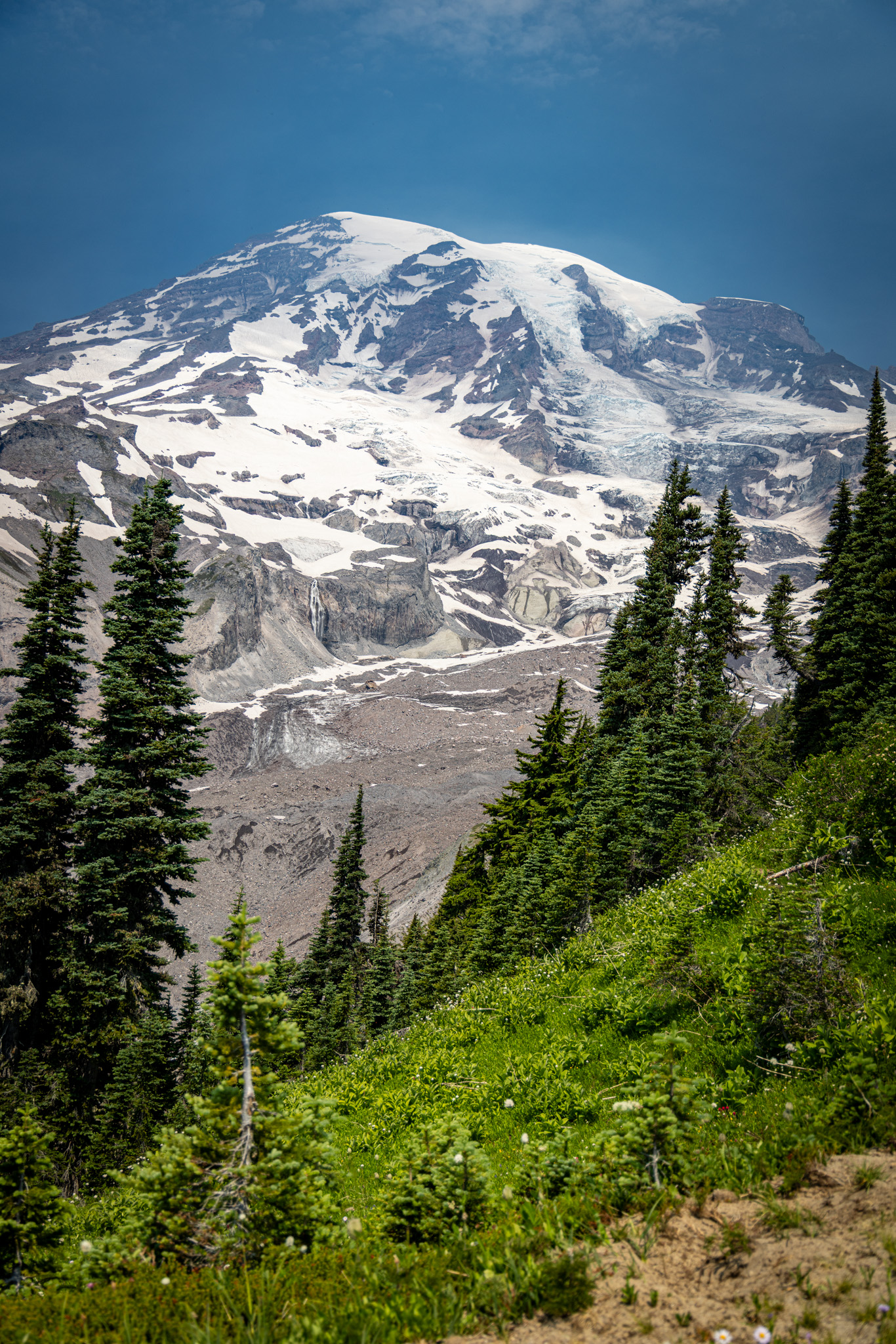
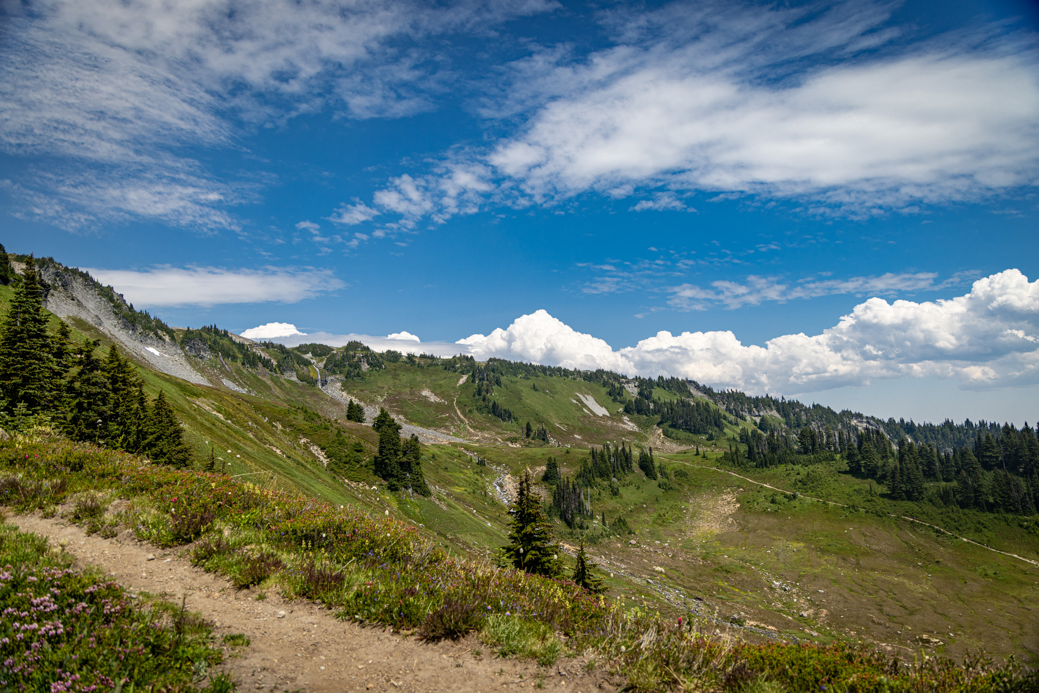
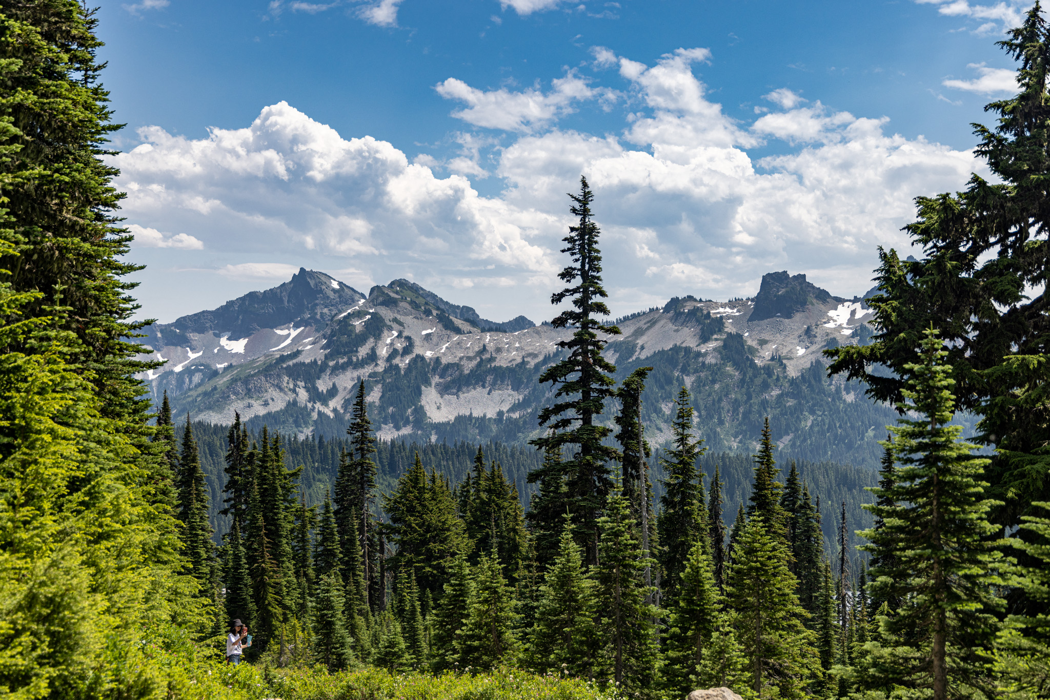
Rainier is beautiful in the most literal sense of the word. It is enormous, snow-covered, and entirely unconcerned with everything else around it. I sweated through every step of the trail, even though the day was only in the mid-eighties, a temperature that would count as mild in California but qualifies as a real event in western Washington.

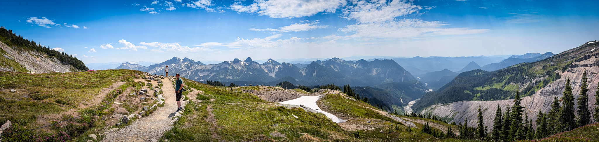

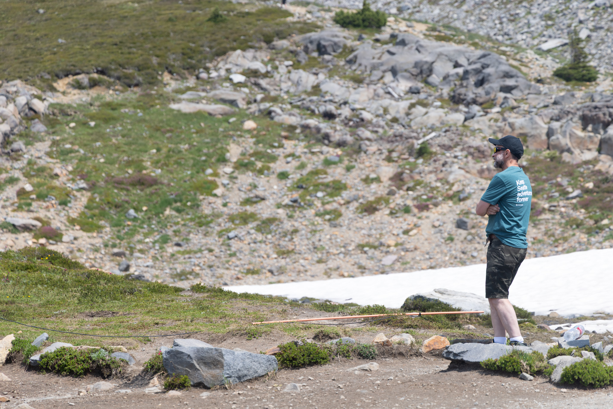
None of that ruggedness changes how fragile the ground underneath it actually is. The National Park Service does a good job explaining why visitors are asked to stay on the trail at this elevation. The subalpine meadows here aren’t like meadows at lower latitudes, where sunlight and water are abundant enough that plants can afford to spread out carelessly. Every plant at Paradise is working against a short growing season and a long winter, and every inch of ground it holds is the result of that fight. I was in awe of the whole scene, the ruggedness of the rock and the fact that so much fragile life somehow persists inside it, in a way that made me stop and look for longer than I’d planned to.

It’s a strange thing to drive two hours toward one of the largest mountains in the state and end up crouched over a marmot, but that was the actual rhythm of the day. We found one sunning itself against the base of a stone monument, entirely unbothered by the gaggle of hikers photographing it. A few minutes later, an ordinary-looking dark butterfly landed on a cluster of white flowers and held still just long enough to be worth stopping for.
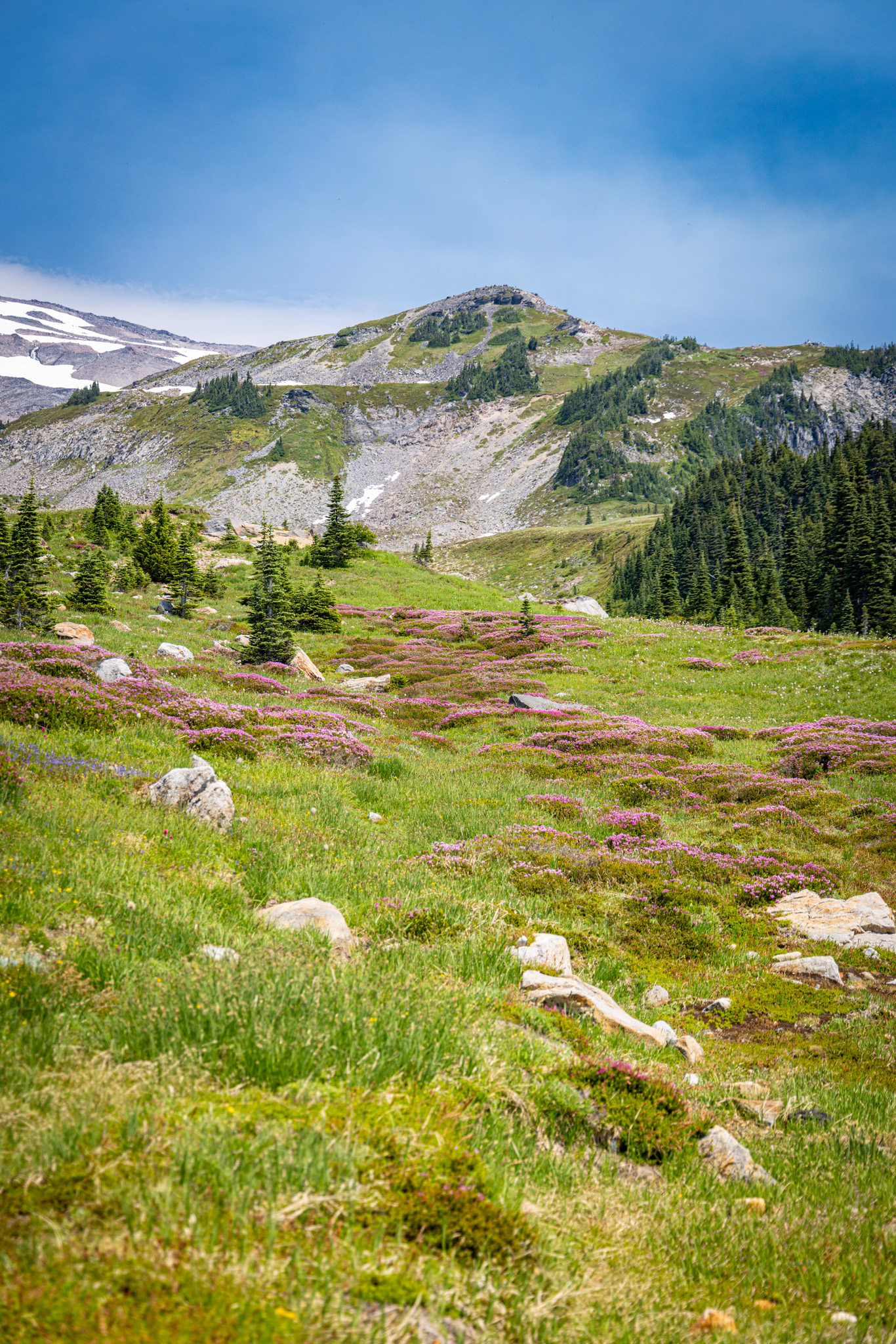
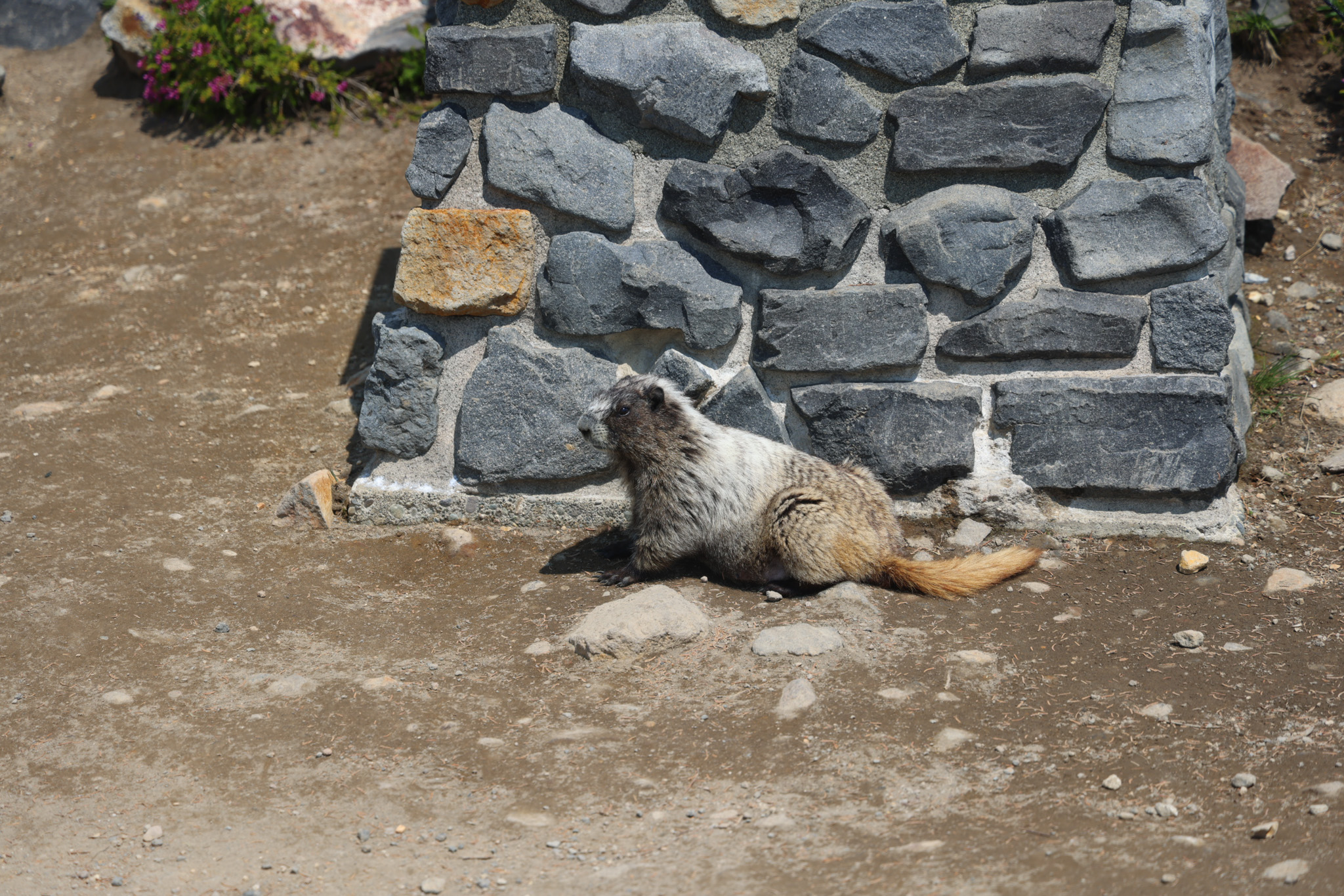
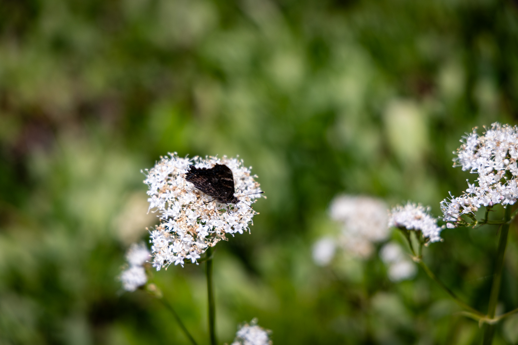
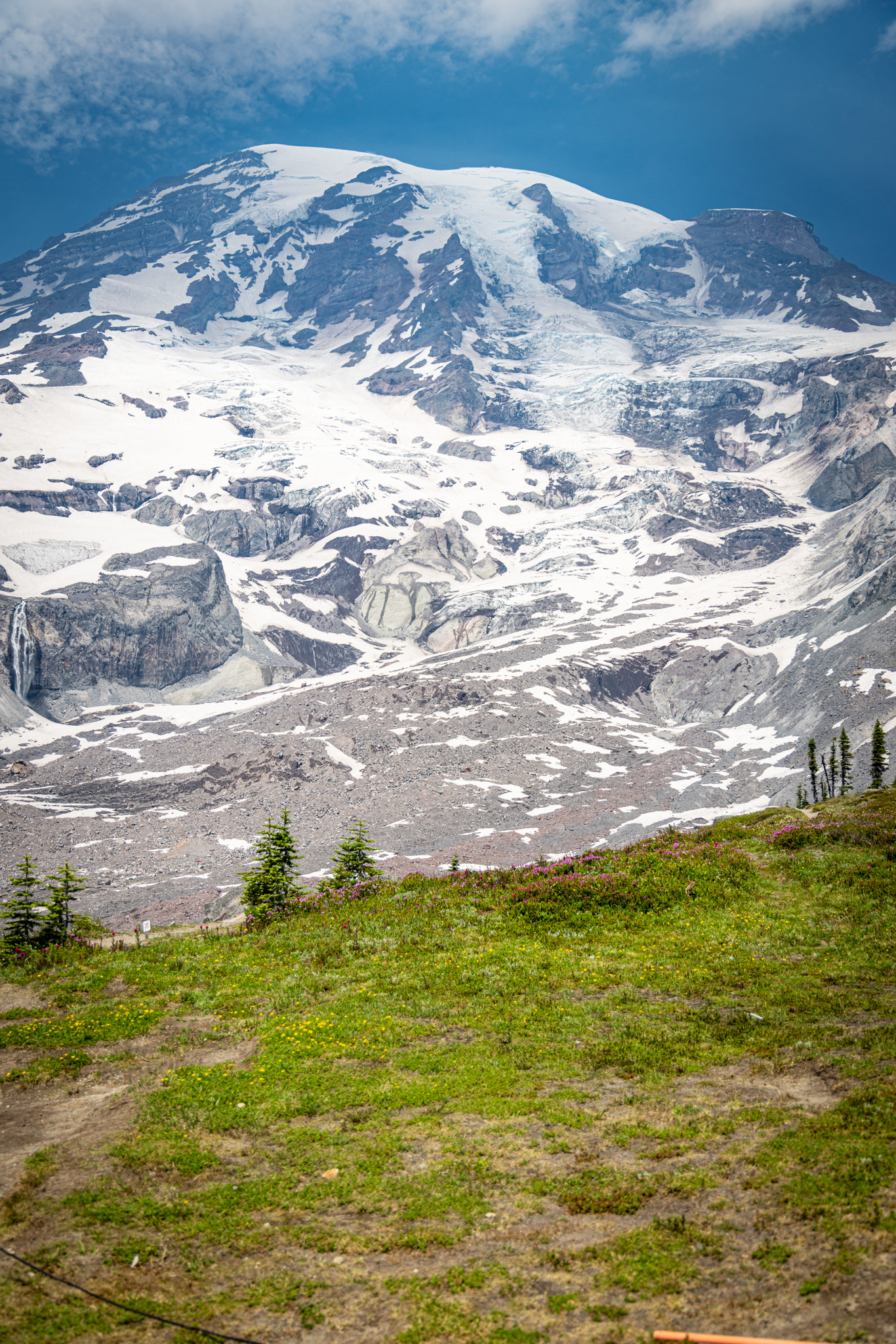
The meadow itself was running with pink heather down toward the scree, and it did more to make the mountain feel alive than any wide shot of the summit had managed all day. Rainier is enormous, and from a distance it looks essentially permanent. Up close, most of what’s actually happening on it is small and in motion: a marmot moving from shade to sun, heather working through its short season, ice higher up quietly turning into the water that would show up again a mile downhill as a waterfall.


On the way back down, I noticed two hikers well off the trail, cutting across a meadow instead of staying on the packed path. I asked a pair of twenty-somethings from Colorado standing nearby whether I was being a get-off-my-lawn old man about it, or whether walking off-trail was as disrespectful as I thought it was. They didn’t hesitate. They started shouting across the valley at the two off-trail hikers with more conviction than I’d seen from strangers in a long time. A mother and daughter walked by a few minutes later, a Black family visiting from Orlando, and we asked them the same question. They joined in without missing a beat. By the end of it, we were a diverse six-person chorus spanning three generations, two coasts, and every background in between, and every single one of us agreed on the same thing without prompting: stay on the trail. The park service can’t protect a meadow that took a hundred years to grow if the people walking through it won’t do their part.

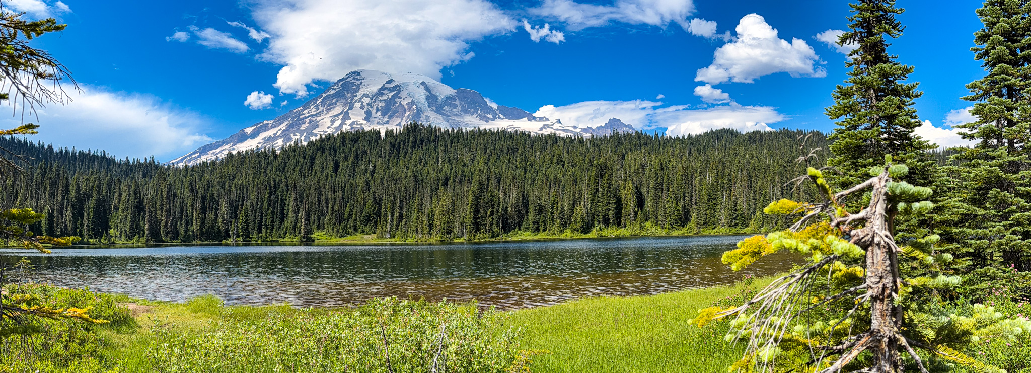
By then, the elevation had worn me down and the heat had worn down R, but I still wanted to see Reflection Lakes and Narada Falls before we called it a day. Reflection Lakes is best seen early in the morning, before the wind wakes up and gives the water enough texture to blur the mountain’s reflection. We arrived well past that window. It was still a beautiful lake. It just wasn’t the postcard version, and that’s a good excuse to come back in the fall and arrive before sunrise.


Narada Falls was our last stop, and I’d clocked it on the way up as worth a second look on the way down. The Paradise River drops roughly 170 feet over the falls, with the park road crossing just above them. The trail to the lower viewpoint is only four-tenths of a mile round trip, but it drops steeply over rough, uneven ground, which a tired body notices more on the way back up. The waterfall was worth every careful step. It was a good closing image for the day: after miles of looking at ice that appeared frozen in place, here was the same mountain’s water actually moving, loud and visible and clearly in a hurry to get somewhere.


With the mountain behind us, it was time to head back to the cabin. We spent that evening at a quiet place on the lake, and that turned out to be a different story worth telling on its own.
Ride Details
Route Map
Start
Tacoma, WA
Destination
Paradise Visitor’s Center
Distance
77 miles
The Ride at a Glance
Scenery
★★★★★
Curves
★★★★☆
Road Surface
★★★★★
Traffic
★★★☆☆
Difficulty
★★☆☆☆


Leave a Reply