
This article is part of the series Recalculating, a 28-day motorcycle journey along the Pacific Northwest coast and through its volcanic landscapes.
THE ROAD WEST
Phase two was always going to look different. A ferry, truck, R and I, and a few days exploring western Washington.
The ride into Vancouver was harder than I expected. The extra day there—wandering around, taking care of the battery in the GS, doing laundry, having a reset—was a warm welcome.
Sometime back, R had mentioned he wanted to go down and see the Olympic Peninsula. It was new territory for him. Also in play: a colleague of mine from the East Coast who’d always dreamed about living in the Pacific Northwest. His stars finally aligned with ours, so we planned to meet up at his new place and use it as a home base before pushing out to the peninsula.
Everything dovetailed into an epic few days exploring western Washington. What was even better? We decided to take R’s truck. I love motorcycle travel—but sometimes having the extra creature comforts, and not having to be so particular about packing, makes life easier.
01 · HURRICANE RIDGE
Bluebird skies in every direction.
It’s always interesting to see a familiar place through the eyes of someone new.
I remember crossing the ferry from Edmonds to Kingston, looking south and seeing Mount Rainier hanging out there like it always does, all the little joys of riding a ferry stacking up. Ferries are commonplace for R—the terrain on the other side of this one wasn’t.
We tried to balance #allTheThings and ultimately decided to prioritize our friend on the island and see a few things well rather than a bunch of things mediocre. We decided to do two things inside Olympic National Park well: Hurricane Ridge and Devil’s Punchbowl.
About 15 years ago, I went to the Hoh Rainforest passing through this area on a motorcycle. I remember taking my helmet off and instantly getting eaten alive by bugs—the trauma from Fitzgerald, Georgia back in May was still top of mind. R didn’t want to do a ton of driving from place to place just to see surface-level things.
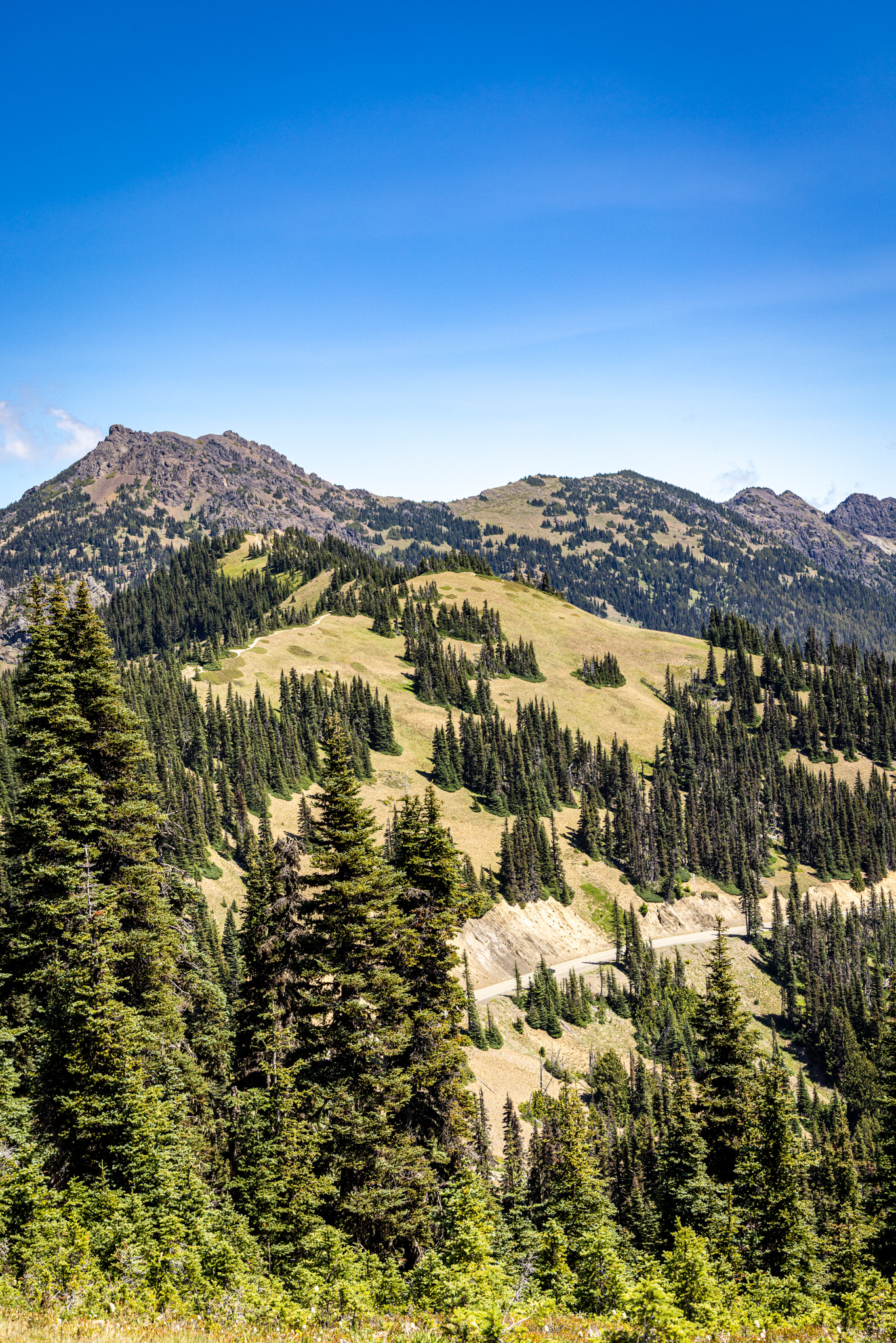

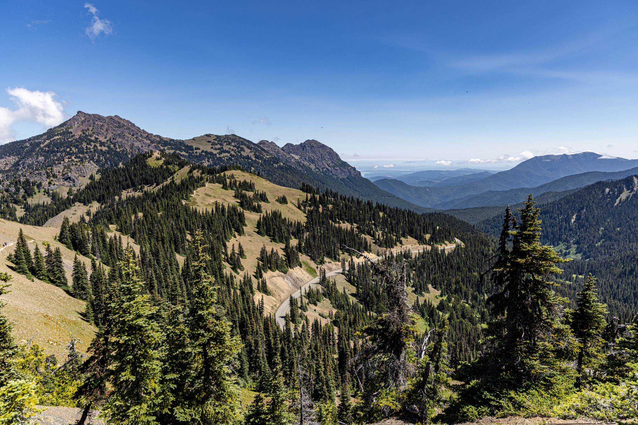
I’m happy to report Hurricane Ridge is fully open. Gone are the restrictions from 2023, when the park limited the number of cars allowed up based on the capacity of the porta-potties on top of the ridge—the Day Lodge had burned down that May, and every morning visitors had to check the park’s account on social media to see if Hurricane Ridge was even accepting cars that day. The visitor center is still an ATCO trailer while they rebuild. They’ve upgraded from porta-potties to a full restroom trailer with flushing toilets. R asked if I wanted to check out the store next to it, and I actually thought he meant the construction supplies—turns out he meant the gift shop.
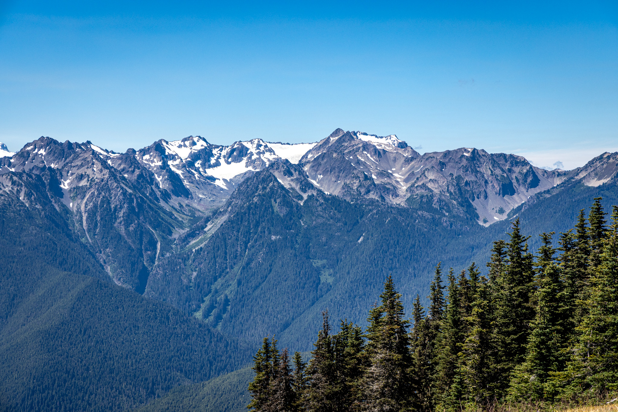
We couldn’t have asked for a better day, or a lighter crowd. Small upside of getting laid off on a Monday: we had Hurricane Ridge practically to ourselves. We hiked Hurricane Hill for about an hour, and partway up a baby elk poked its head out of a bush right off the trail. On top of the ridge we were treated to bluebird skies in every direction. The Olympics were out in their best colors, with some snow still holding on at the highest peaks.
We could look across the strait and see Vancouver Island in the distance. It’s wild seeing two countries separated by nothing more than water and a line on a map. Hiking up to the top of the ridge made an already amazing view even better—the 360-degree spread across Puget Sound, Vancouver Island, and the Olympic Peninsula makes you feel small.


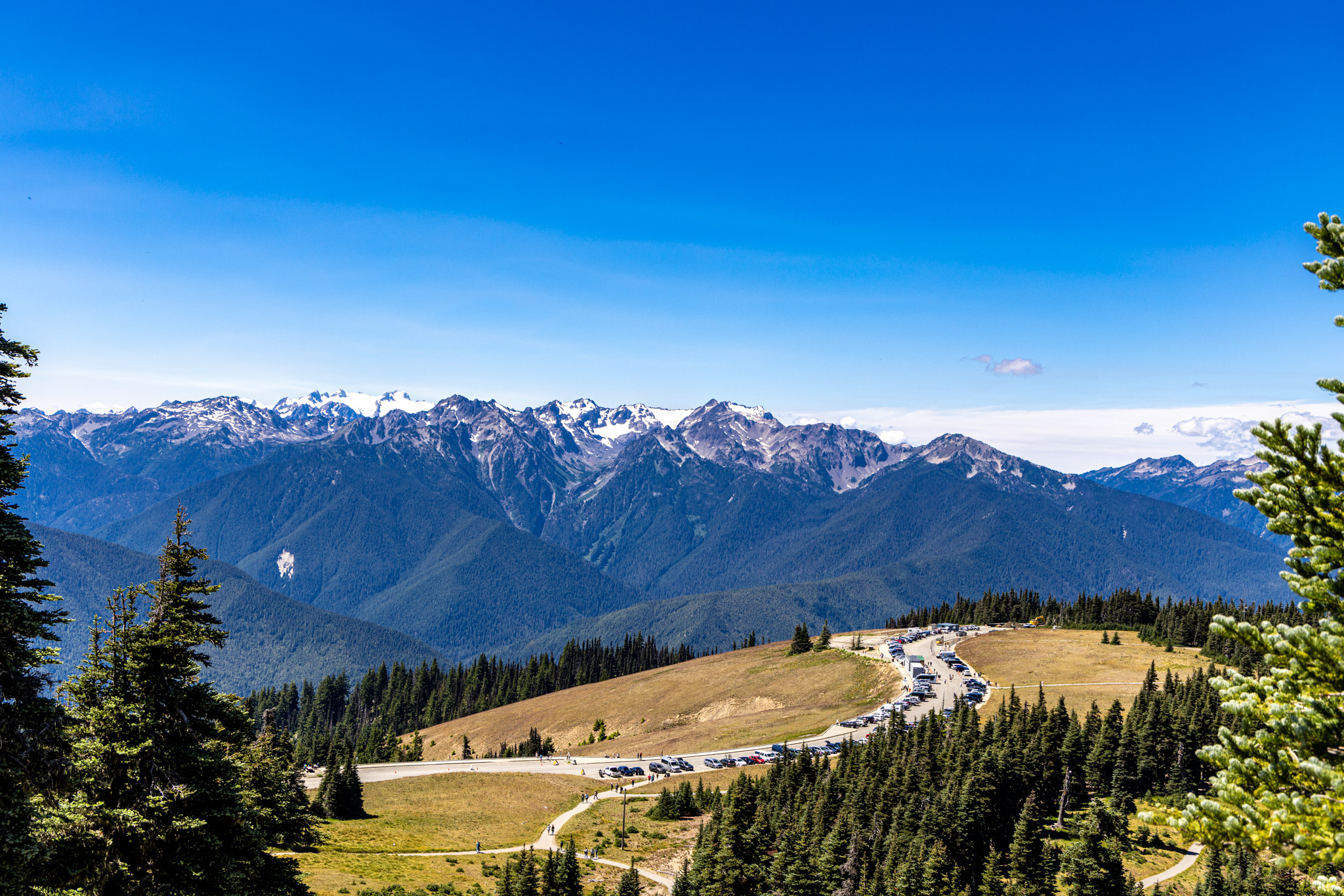

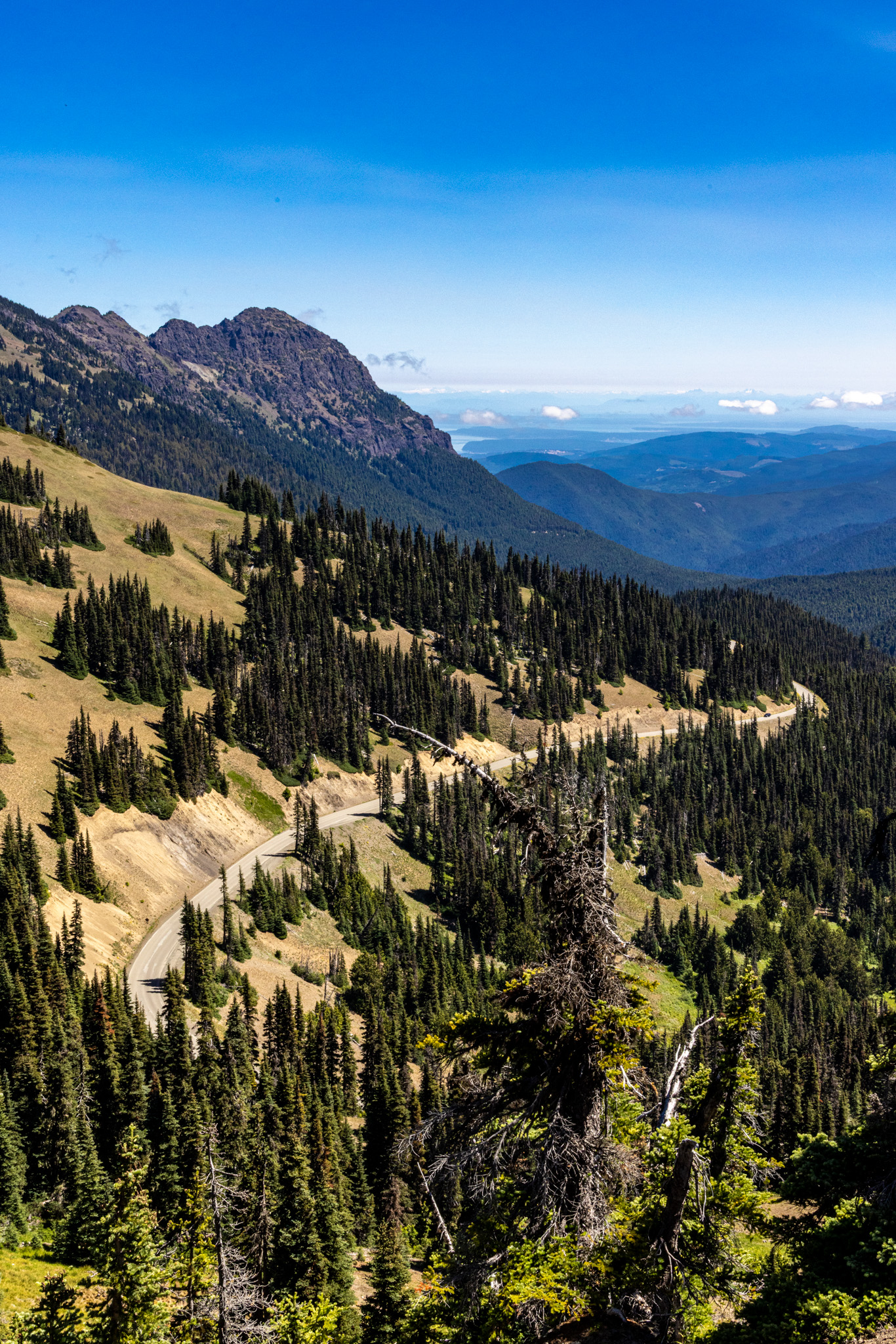
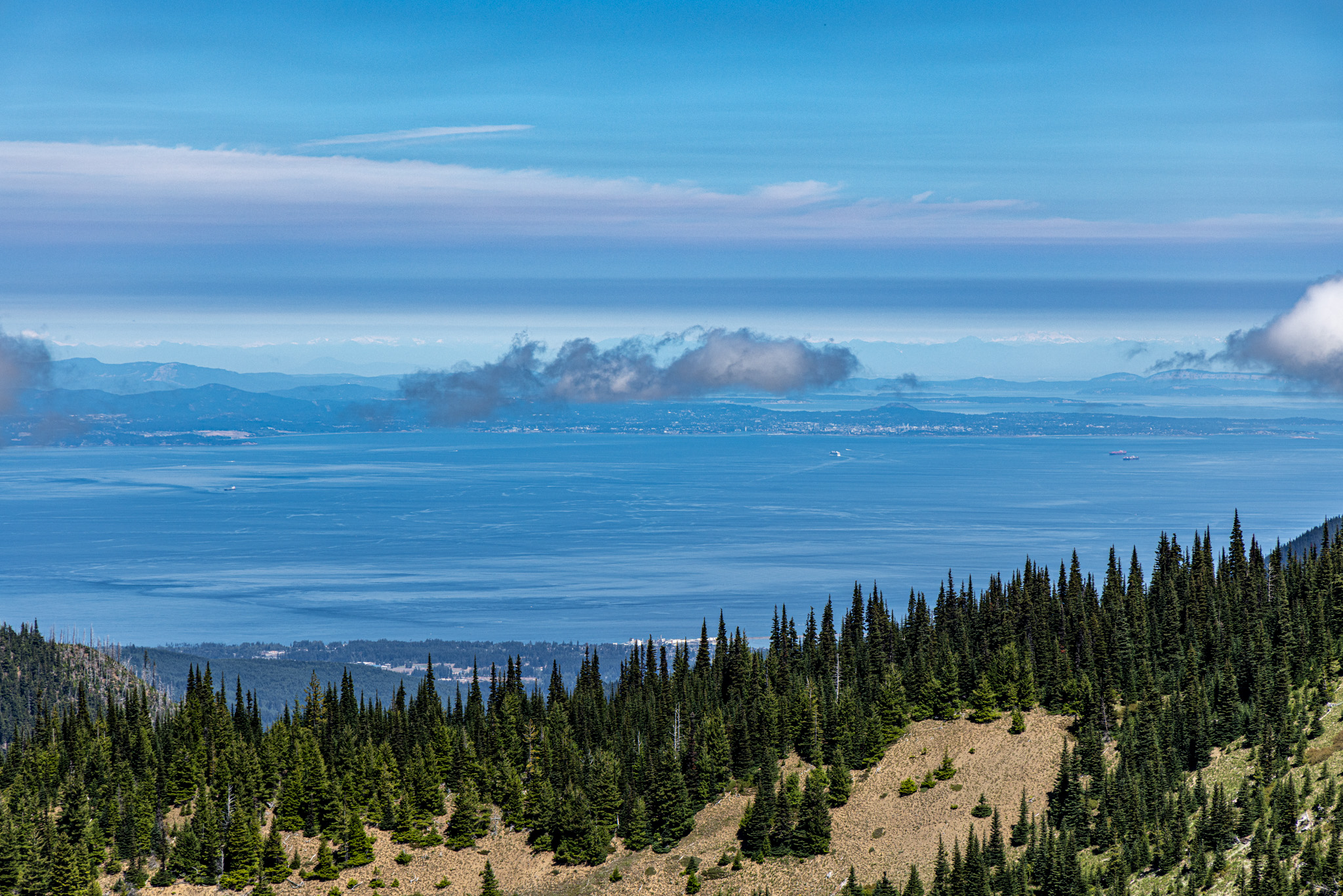

A landscape built in layers—snow, stone, forest, water, sky.
Notes from Hurricane Ridge
02 · PORT ANGELES
Between mountains and water.
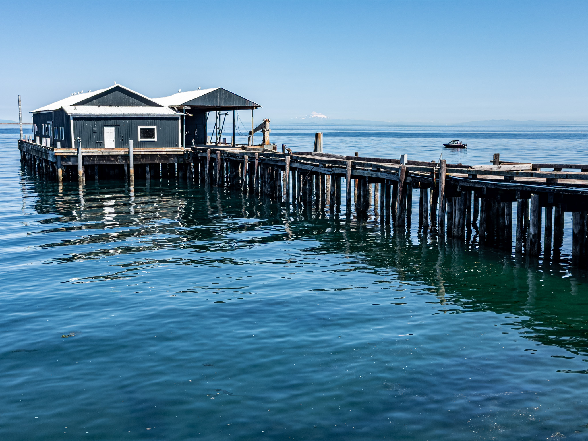
On my last trip through, Port Angeles was a place to travel through, not a place to stop. R’s more direct connection with Canada, plus a bit of curiosity about the Black Ball Ferry, made the harbor terminal an excellent place to grab lunch.

I hadn’t realized how rough the crossing to Vancouver Island can get—it’s a narrow strait squeezed between two much larger bodies of water, and that funnel effect makes the perpendicular crossing rougher than I expected. R shared stories about how he had to tie his bike down on the last crossing between Victoria and Port Angeles.
We wandered the shops, got fish and chips, and explored downtown Port Angeles. With time drifting away, we hopped in the truck and headed off to Devil’s Punchbowl.


03 · THE OLD RAILROAD GRADE
Into the green.
The walk toward Devil’s Punchbowl slips beneath cedar and fir, through sword ferns and filtered light. It follows the old Spruce Railroad—built in a hurry during World War I to haul spruce out of these hills for aircraft frames.


04 · DEVIL’S PUNCHBOWL · LAKE CRESCENT
That impossible turquoise.
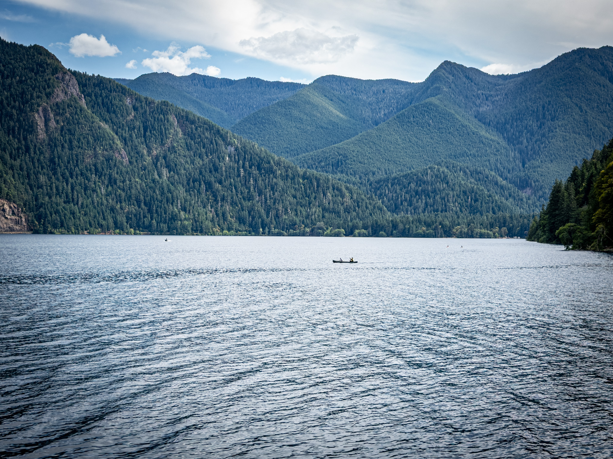
Unequivocally, Lake Crescent is my favorite body of water in this part of the world—especially Devil’s Punchbowl.
The clear blue-green water, with the Olympics standing over all of it, makes this one of my favorite spots in the area.
The punchbowl itself is a leftover of the old Spruce Railroad, built in a hurry during World War I to haul spruce out of these hills for aircraft frames. When the line shut down, the story goes that the original owners blew up the tunnels themselves rather than leave them standing, and trail crews eventually looped a footbridge right over the water where one of those tunnels used to run—that’s the bridge everyone’s jumping off today.

As for the color, Lake Crescent famously has almost no nitrogen in it, so there’s next to nothing for algae to feed on. That’s why the water holds that impossible turquoise clean down to the bottom instead of going murky like most lakes do by August.
We were late in the day—parking wasn’t bad, but the punchbowl itself was overrun. Note to self: this might be a better trip in September, midweek, while the sun’s still high and warm but the kids are back in school.



Source: NPS — Hurricane Ridge Area Will Reopen June 27 After Fire
THE ROAD HOME
Dinner was calling and we didn’t want to disappoint our fantastic hosts. The westbound drive was about two hours, but we were both full from a day of fun, sun, and some seriously epic natural beauty.
Now I wonder what this place looks like in the dead of winter. Maybe that’s a future trip.
Ride Details
Route Map
Start
Bainbridge Island, WA
Destination
Olympic National Park, WA
Distance
222 miles
The Ride at a Glance
Scenery
★★★★☆
Curves
★★★★☆
Road Surface
★★★★★
Traffic
★★★☆☆
Difficulty
★★☆☆☆



Leave a Reply