

This article is part of the series Recalculating, a 28-day motorcycle journey along the Pacific Northwest coast and through its volcanic landscapes.
TL;DR – what I learned to save you, my reader the research
- The road is paved; the pavement is hard on sport bikes with firm suspension. Stick to ADVs and Scramblers. The Hayabusa rider in Enumclaw said never again. I get it now.
- The pavement has many sinkholes, gashes, frost heaves, and hard transitions
- Download your maps. If you veer off the map, Google maps freaks out without downloaded maps.
- Have a second application where you can download your maps.
- The road wasn’t desolate, but on a Tuesday afternoon I only saw a car every 20 to 30 minutes. I didn’t see logging trucks, but it is a working forest. I got lucky, caveat emptor.
- There is NO cell service.
- The ride up to Windy Ridge is a commitment. It adds at least an 90 minutes to an already slow ride
- Google Maps was right on timing, for me.
- It is unlikely anything bad will happen Prepare that something might. I wouldn’t do this road without a satellite messenger like the Garmin InReach
- Bucky Rides did a perspective of this road from a bicycle. He was cool enough to send me some pavement pics. He’s more tolerant of pavement than I am.

Most everyone I spoke to had an opinion about NFD-25. No one agreed. Some said it was closed. Some said dirt and detours. Some said the pavement was fine, others said it was awful, and Google Maps had already tried to route me onto NFD-23 instead as the primary route: a road with a 12-mile dirt section I didn’t want to attempt alone in a remote part of Washington 1,000 miles from home. That was a no-go, and it didn’t do much for my confidence that NFD-25 would turn out any better. I figured paved was a baseline for Google Maps. Not so. Traveling solo, my margin for being wrong was a lot smaller than it would’ve been with someone else along, and every fiber in me kept saying of course you should go see a national monument that’s practically in two people’s backyard—so why did two locals I’d met here in town didn’t go down this road?

Roxy’s Big Bottom Roadhouse
I timed a late lunch at Roxy’s Big Bottom Roadhouse on purpose, hoping I’d meet a local who could tell me from first hand experience what the road was like. If someone there had told me flatly not to go, I’d have listened without a second thought. Instead I got the hostess, who’d never driven it, and the waitress, who’d lived in the area her whole life and hadn’t either. She glanced over at a guy sitting at the counter and added that she was pretty sure nobody in the place had gone—”definitely not Al,” she barked.

Gas came next. The owner approached me while I was getting fuel. He was a guy originally out of Fresno, and new enough to the area that he had nothing to add to my FS-25 dilemma. He saw my California plates and wanted to spin up a chat. Another local getting gas hadn’t been down the road either. I started wondering whether people around here say they don’t know as they get tired of answering questions, or whether they genuinely never had a reason to find out about the national monument 90 minutes outside of their own backyard. Either way, the road stayed exactly as uncertain as it had been since Seattle.
Onto Forest Service Road 25

I left Roxy’s around four. Before turning onto FS-25, I downloaded maps in two separate apps: Google Maps and the BMW app. Google Maps freaks out the moment you drift off its route. There’s no cell service for the whole ride.
I carried water, food, a tire kit, glucose tablets, and a Garmin inReach, and made absolutely sure the glucose tablets were where I could reach them before I committed to anything. R and Corey had my route, my expected finish time, and my location through both my phone and the Garmin. If I missed check-in, they knew to call for support, and the inReach’s SOS button was there if I needed to call it in myself.
I’d also set my own limits. If it started raining, I was done. I don’t know these soils well enough to trust what rain does to them, and mud turns a bad day into a much worse one fast. If the road turned genuinely unpaved from construction or a washout, same answer. Knowing where “done” was ahead of time meant I wouldn’t have to negotiate with myself about it later.

A big green overhead sign marked the turn, and it gave the road more legitimacy than every conversation at Roxy’s combined. Surely a road with an actual sign, leading to an actual national monument, couldn’t be the mystery everyone had made it out to be.
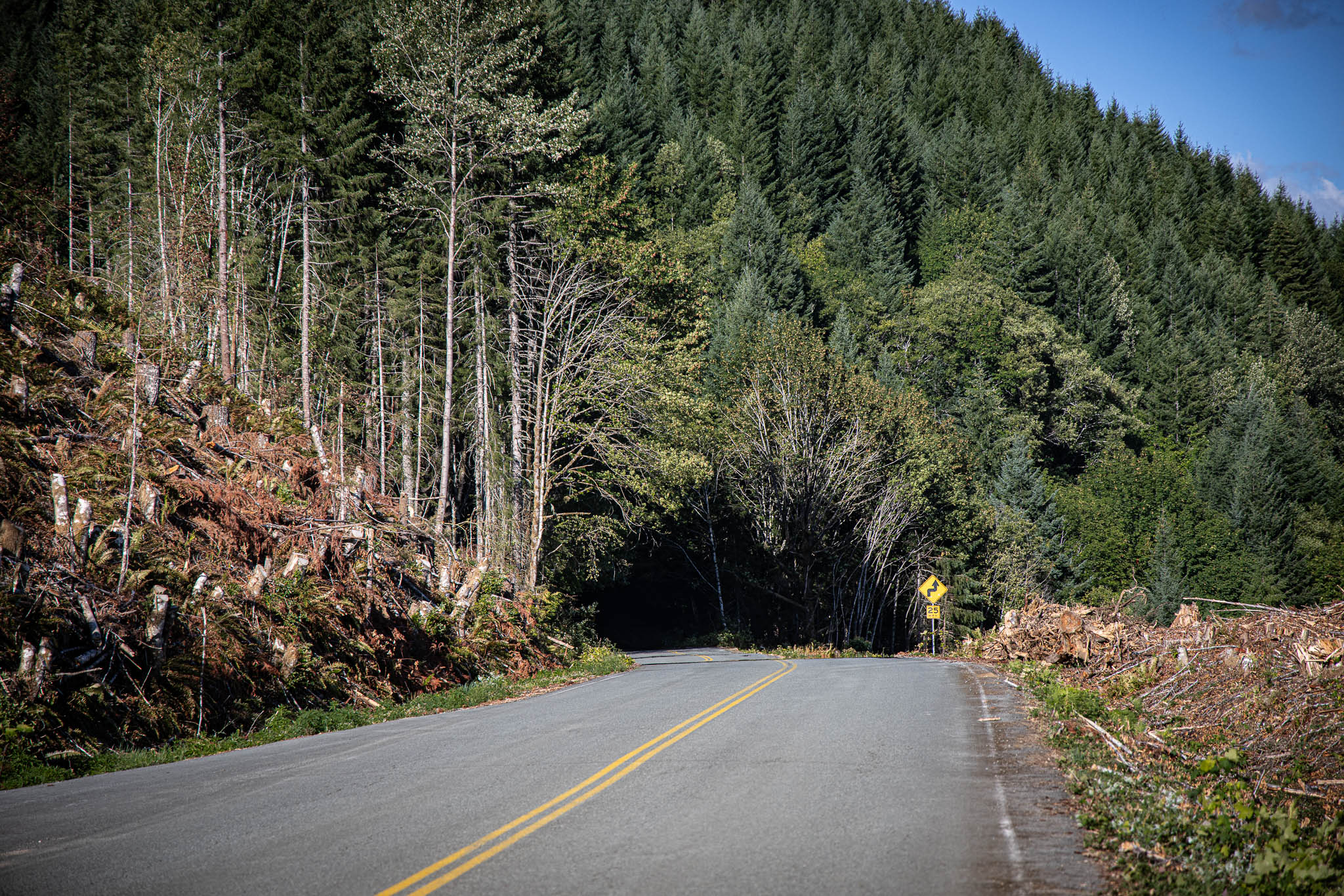
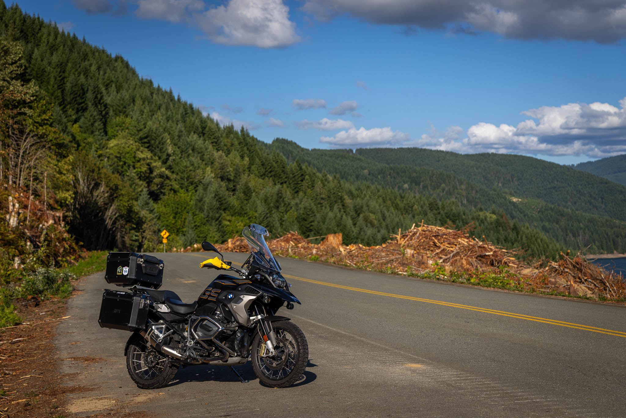
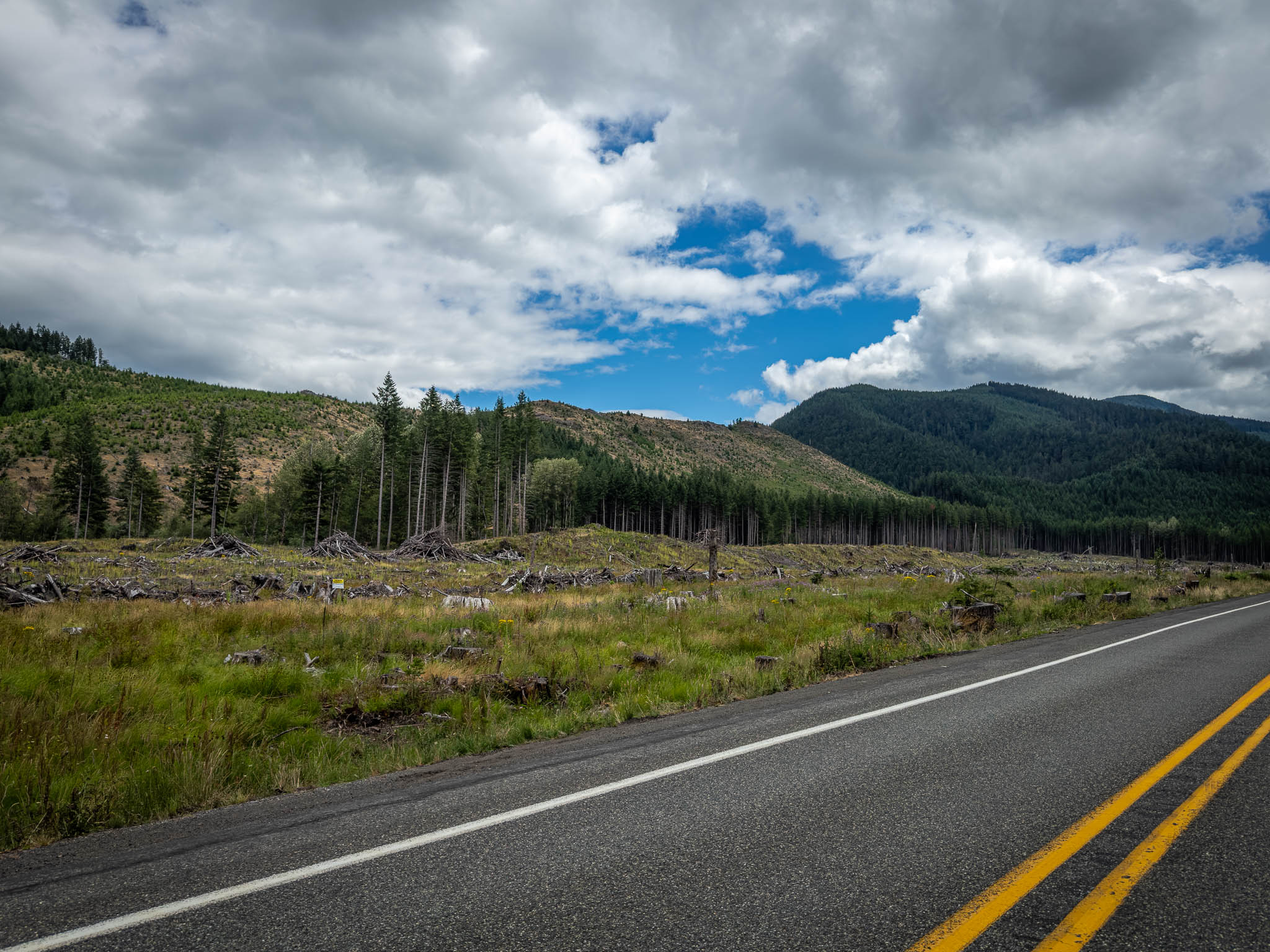
As of July 2026, the road is fully “paved.” On its own, that fact is close to useless. What it doesn’t tell you is the frost heaves, the sinkholes, the gashes and hard transitions that show up in shady blind turns. One jagged break the front end hit hard enough to shudder the handlebars, and there was a real flash of fear before the training took over: slow down, loosen the hands, eyes up scanning the road ahead while still watching for whatever might pop up close to the bike, as I learned it in the MSF course years and three days ago. Thirty miles an hour, the whole way through, was constant work: standing on the pegs through the rough sections, setting corner entry speed for blind turns, never quite letting my grip go tense no matter how much the pavement wanted me to.

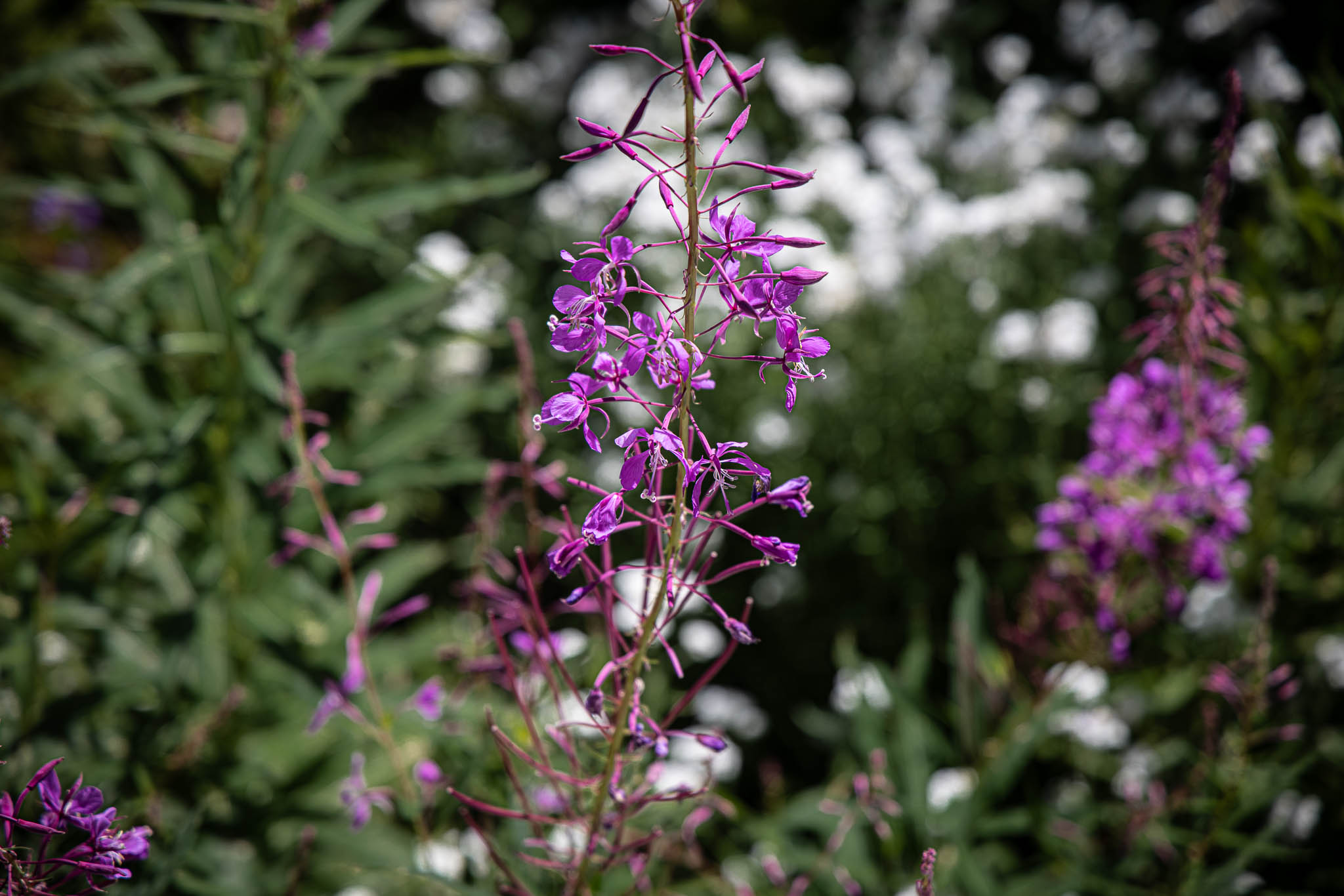
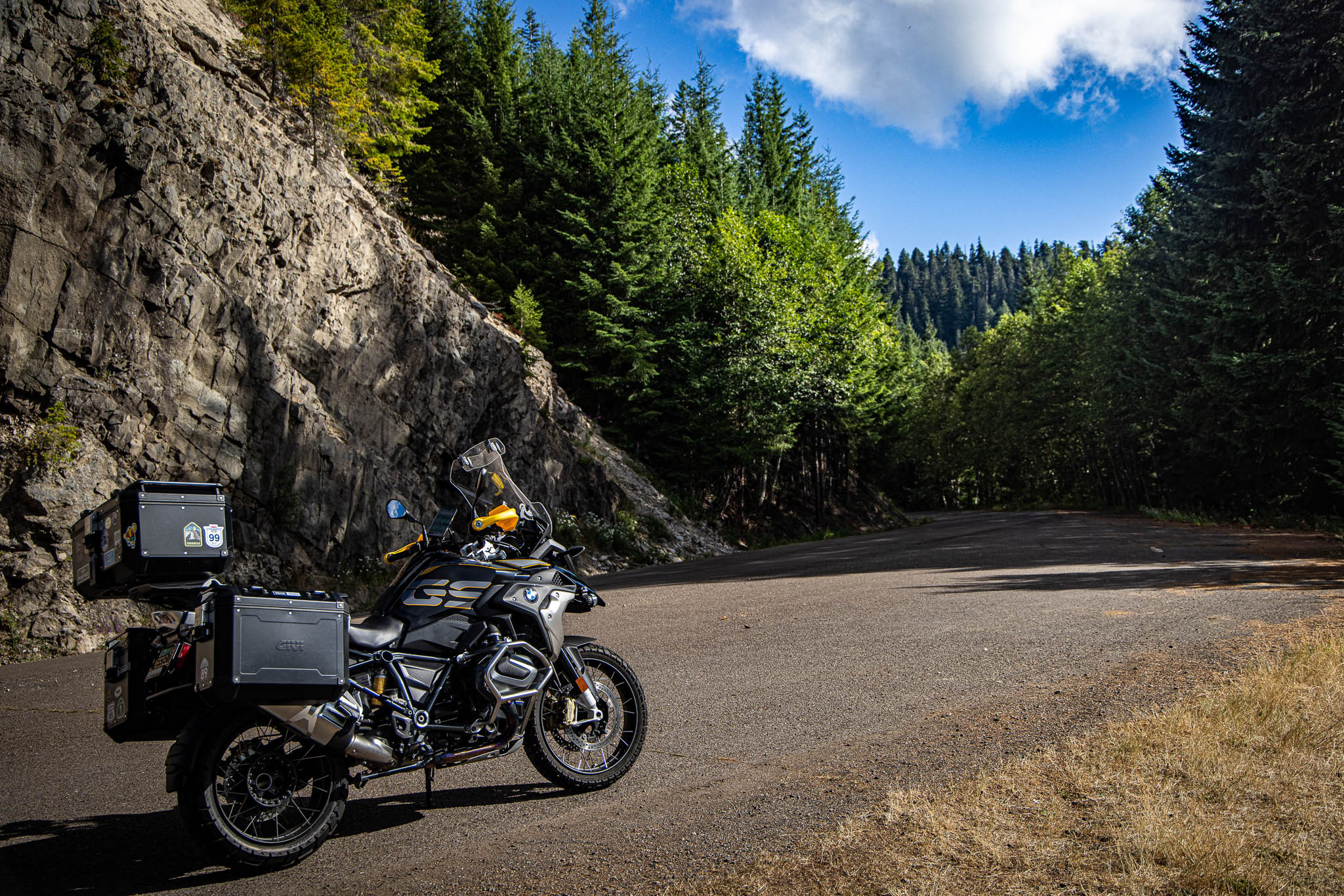
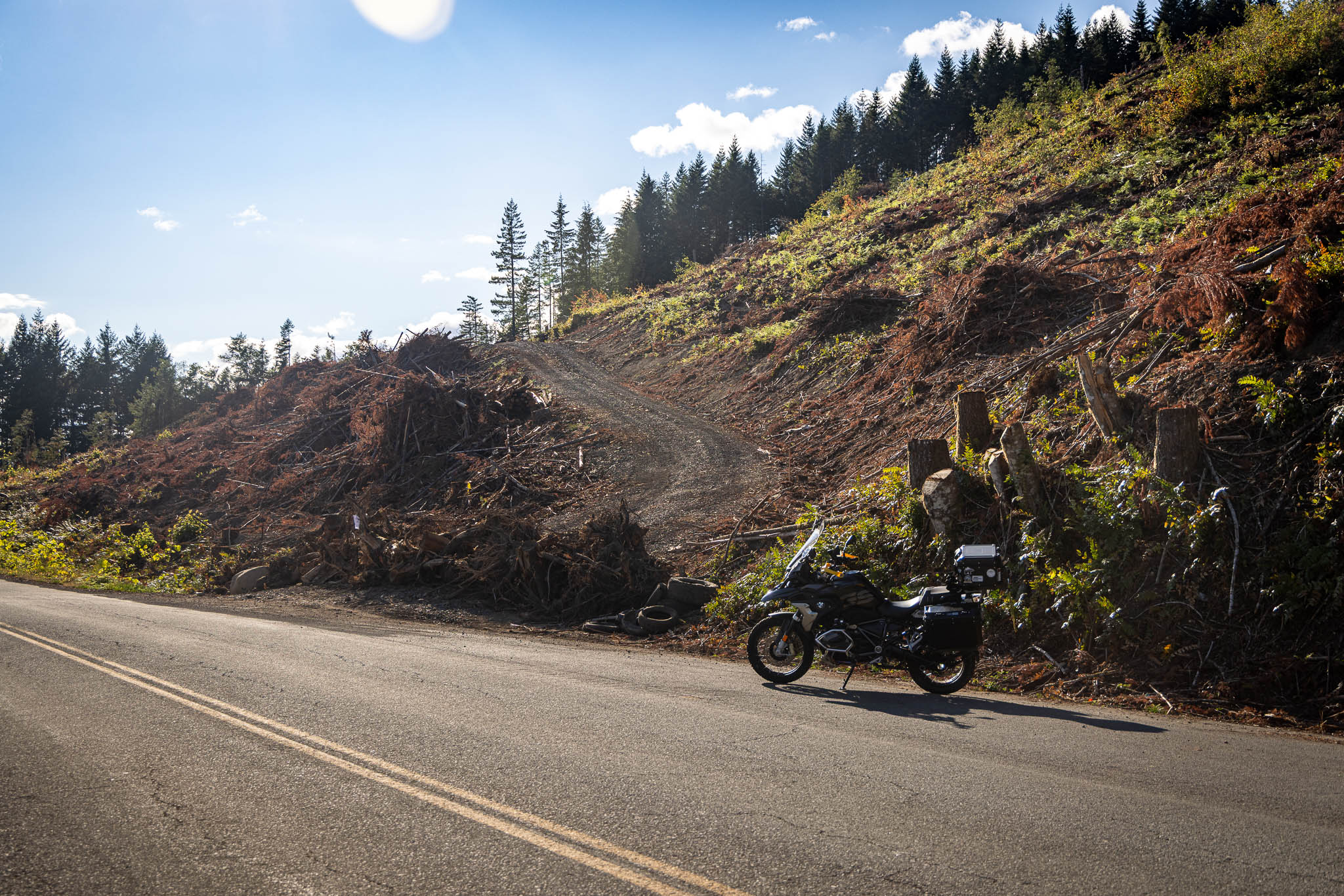
None of that canceled out the enjoyment. If anything, it sharpened it—I was participating in the forest instead of watching it slide past a windscreen at seventy. The north side ran lush and dense, moss thick on everything, and by the south end it had opened into something drier and more alpine and purple flowers scattered through a landscape. This was clearly a working forest and not untouched wilderness—trees at every stage of growth, farmed rather than found. I’d braced for logging trucks the whole way and never saw one, which I count as luck rather than a guarantee for the next person out there. A car came by every twenty or thirty minutes on a Tuesday afternoon—not desolate, but not the kind of traffic you’d want to depend on if something went wrong.
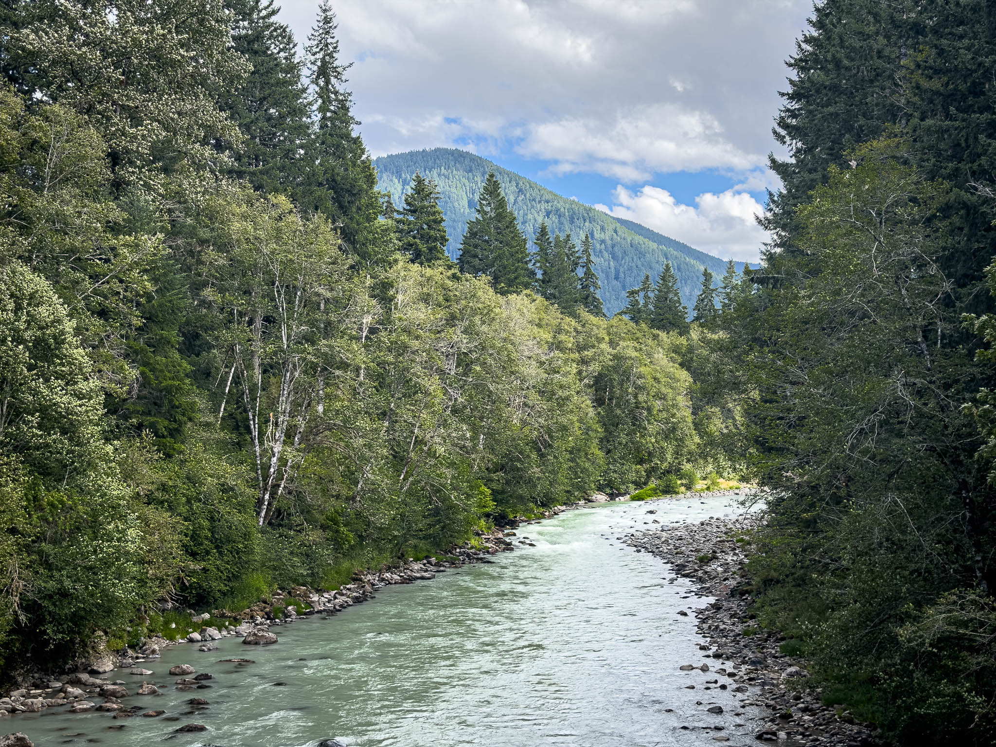
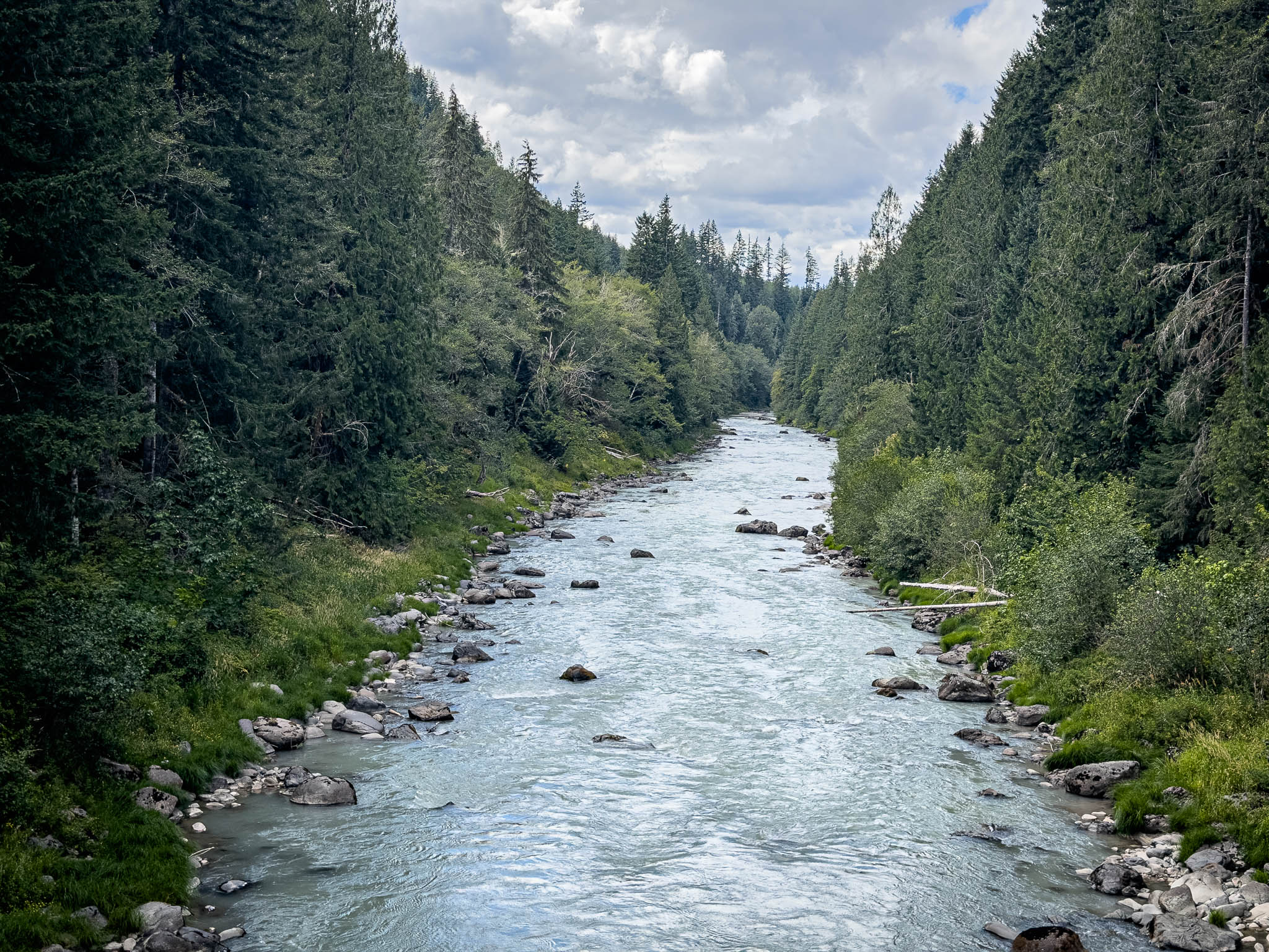
The first car was a Prius, and I laughed when I saw it, because the shapeless fear I’d been carrying about not seeing another human out here suddenly had a face. I followed it for a while, liking the idea of help nearby if I needed it, before the I realized I was following a mellowing Prius and my own adventure got the better of me and I passed it. Passing that Prius was its own small vote of confidence—proof I didn’t need a stranger’s taillights in view to believe I could keep going on my own.
Windy Ridge
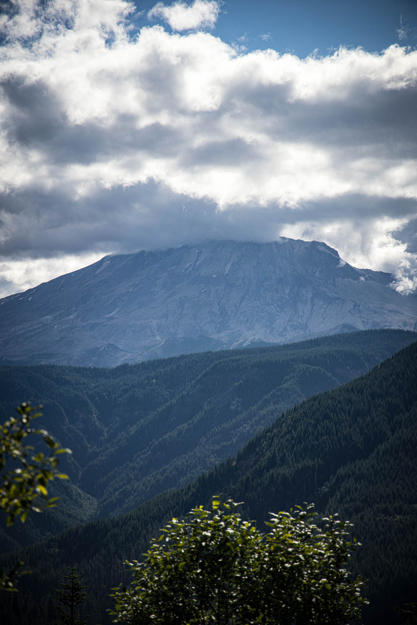
I turned up the spur toward Windy Ridge wanting at least a first look at Mount St. Helens, enough to say I’d gotten my feet wet even if I couldn’t give it the full day it deserved. About four miles in, I stopped near an overlook and talked with two women in a Nissan SUV who wanted to know how much farther the main viewpoint was. Another hour of driving, round trip, was the honest answer, and their disappointment told me they already suspected it. This was a full-day commitment out of Randle, not something you start at four in the afternoon the way I had.

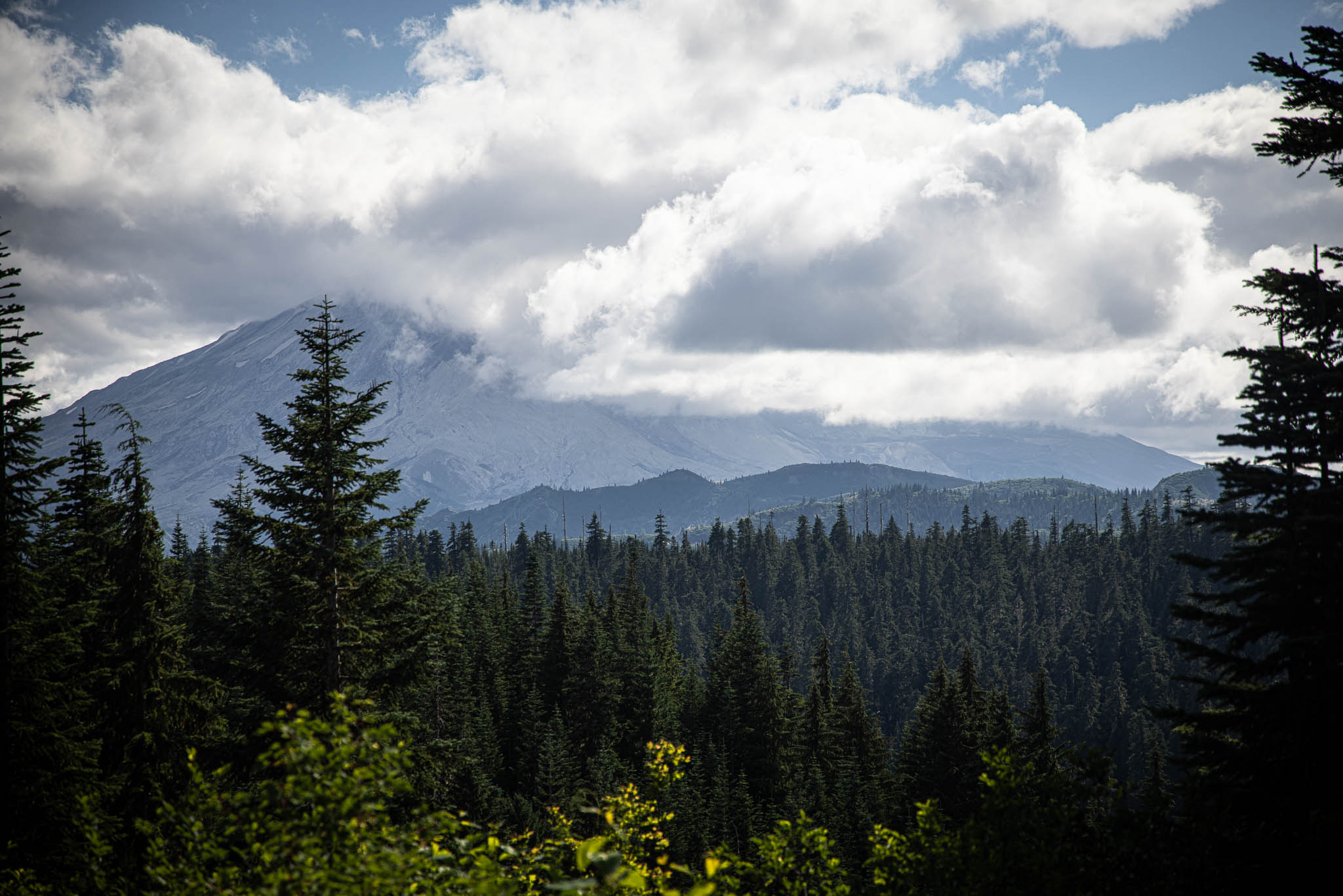
I could see part of the mountain and some of the scar from the eruption, but clouds kept most of it hidden. It isn’t that she’s hiding from me exactly—she’s just hard to get to, sitting well off the routes I normally travel, and she never enters my view the casual way Rainier does traveling around Seattle. Turning around wasn’t failing to reach something. It was proof I understood the day’s limits correctly, and I was clear I did not want to be on this road after dark. I’d have liked a clean look at Mount Adams too, while I was at it, but that one wasn’t in the cards either—next time, maybe, for both of them.
Forest Service 90 and Swift Lake
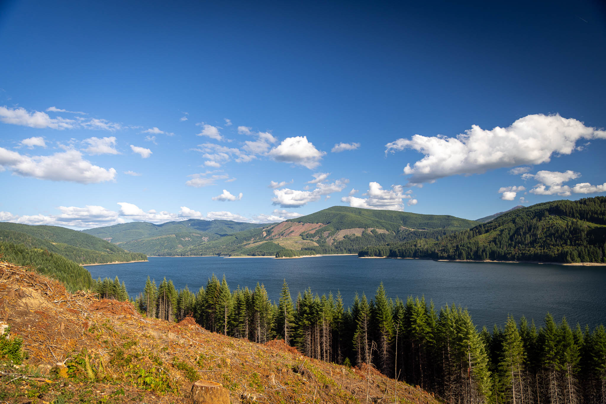
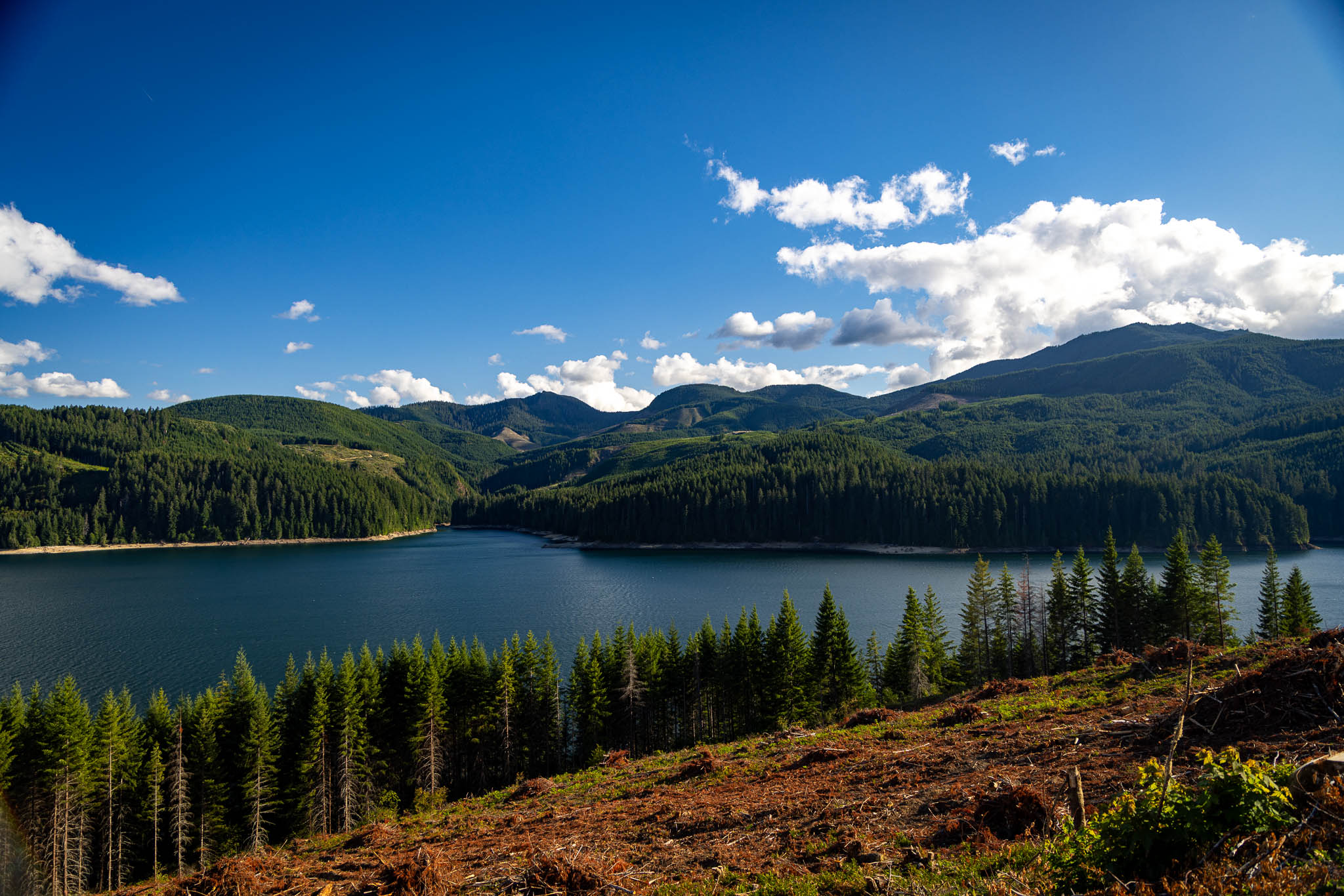
The pavement improved once I crossed onto FS-90, though it took a few miles before I actually trusted it—every gentle stretch had me half-expecting the next frost heave to show up around the bend. When I finally believed it, everything in me let go at once, shoulders first, then the more tense than I wanted grip on the bars. Relief and something close to happiness, both at the same time. Cell service came back not long after, and my first thought was checking in with Randy and Corey, followed by a text to a high school buddy from the tree-farm world, thanking him for years of explaining how working forests actually operate—it made sense of everything I’d just ridden through. Swift Lake was the moment I knew I’d made it: good pavement, houses, an actual community wrapped around the water. I was out of the woods and back in the civilization.
The Last Exit in Washington
I use an open source downloadable pancreas to manage my diabetes called Loop. I have an override in Loop that I use on airplanes because I need more insulin when I’m sedentary for a long period of time. Today I’d called on that override. What I had forgotten was that I’d also included my meal bonus in that override, so when I corrected after dinner, I received thirty percent more insulin than I intended. I noticed the problem as I was leaving the restaurant. My blood sugar was still high, so I wasn’t in immediate danger, but I had extra insulin on board that I couldn’t take back. Loop cut my background insulin to zero, which kept the pump from adding more, but I needed to decide whether that would be enough.
Making that decision meant accounting for the carbohydrates I had eaten, the insulin already working, my current blood sugar, its direction and momentum, and the point at which I would no longer consider it safe to continue riding. I then had to cross-reference all of that with the traffic ahead and the geography of the freeway. The Columbia River bridge wasn’t a place where I could simply pull over if the situation changed, so I made the last exit in Washington my decision point. If my blood sugar wasn’t moving in the right direction when I reached it, I would get off the freeway and wait.
Everybody else on the road was simply driving into Portland. I was solving what felt like a large data problem in the background so I could do the same thing. None of the individual decisions was especially dramatic—I’ve calculated carbohydrates, balanced insulin, adjusted overrides, and watched glucose trends for most of my life—but together they represented the work required to keep an ordinary ride ordinary. It struck me crossing the river that this is what an invisible disability looks like. From the outside, I was another motorcyclist in traffic. Nobody could see how much information I was managing just to cross the same bridge.
Portland’s Bridges
The first time I rode into Portland in 2005, I arrived on Interstate 5 at night. The bridge carried me high over the city with the lights spread out below, and the whole experience felt magical in a way I hadn’t expected from riding through a city on the freeway. It has stayed with me ever since, and crossing into Portland still brings some of that first night back and leaves a smile on my face.
This time I crossed the Fremont Bridge on Interstate 405 as I made my way toward Highway 26. I hadn’t ridden that bridge before, but it had the same romantic quality at sunset. There was no traffic, the light was warm, and long rays stretched across the bridge making patterns that this photographer wanted to pause time for. After spending the afternoon watching for broken pavement and calculating how much daylight remained, I had room to enjoy where I was again. For a few minutes, Portland felt the way it had the first time I arrived.
It was certainly more than nice, M 🤣 !
Ride Details
Route Map
Start
Randle, WA
Destination
Beaverton, OR
Distance
125 miles
The Ride at a Glance
Scenery
★★★☆☆
Curves
★★★☆☆
Road Surface
★☆☆☆☆
Traffic
★★★★★
Difficulty
★★★★★

Leave a Reply