In all of motorcycling, there are two dead-end roads I absolutely love to ride. They couldn’t be more different, yet they are located just miles from each other with no connecting path. To the west is Highway 180 to the bottom of Kings Canyon. It’s 50 miles of twisty goodness up and over the western side of the Sierra Nevada.
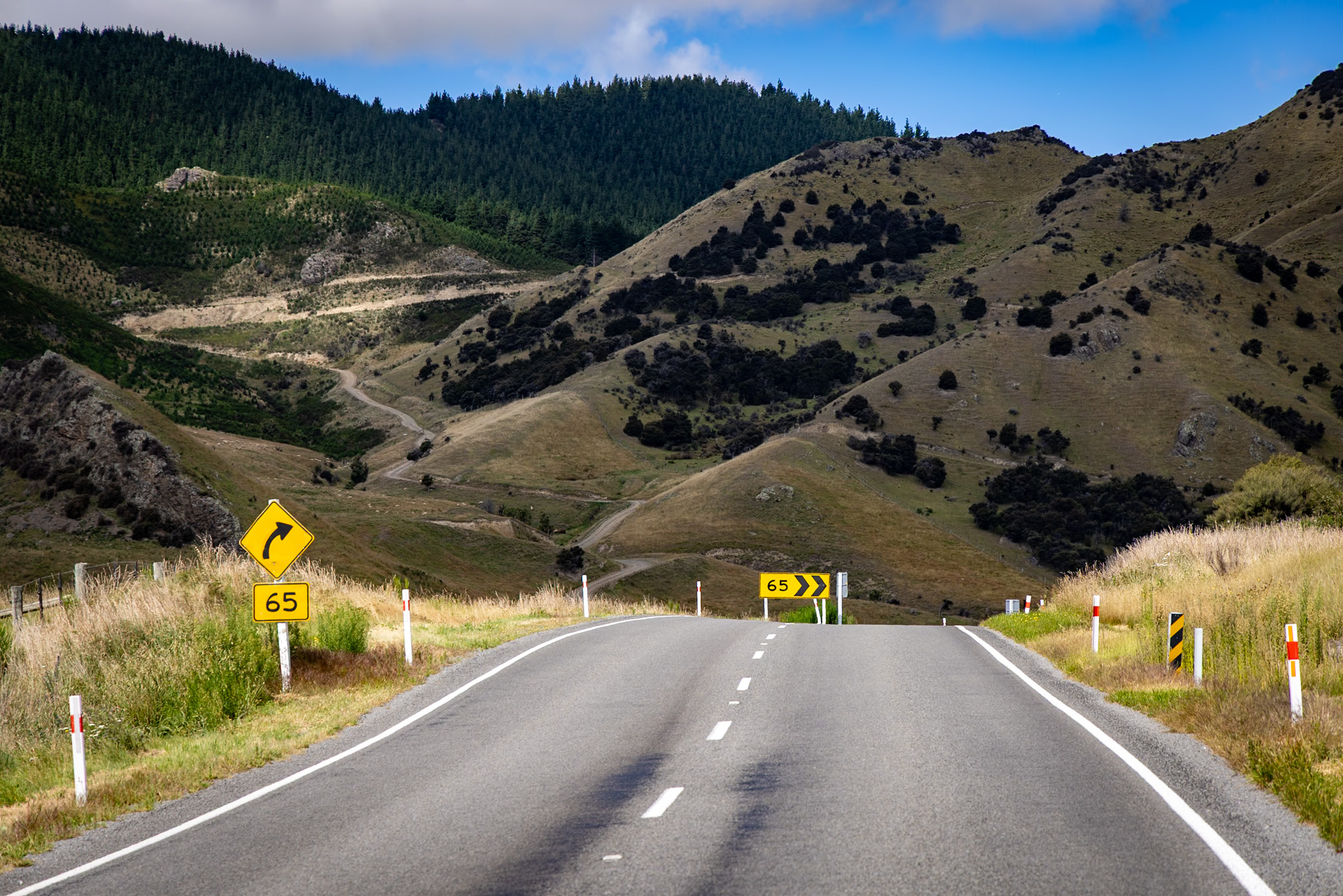
In stark contrast is Highway 168 on the east side of the Sierra. Highway 168 shoots straight up into the mountains over just 12 miles, climbing about 500 feet every mile with very few turns. One can ride this road being heavy on the throttle, feeling the bike work due to the climb and the altitude sucking energy from the engine. This road is likely built for the convenience of utility trucks that need to service the various dams that generate power for the local area.

Because Death Valley National Park is closed, the group decided to ride up to Lake Sabrina for the morning. Keep in mind, though, that Sabrina is not your best friend down the road. This is a lake Sa-brine-uh. Locals will definitely make fun of out-of-towners if you mispronounce her name. We all gathered in Bishop for coffee and pre-ride briefing. The weather was a sunny, 65-degree day. The climb up Highway 168 into Bishop Creek Canyon was outstanding, with the Aspen coming to life.


As we made the climb, the temperature began to drop. What started as a warm, room-temperature day turned into a very cold venture into nature’s refrigerator. At nearly 9300 feet, the motorcycle’s thermometer was reading 43 degrees. Brrr! I do have to give Aerostich credit – I have ridden in an Aerostich Roadcrafter in temperatures ranging from 28 degrees all the way up to 107 degrees F and been reasonably comfortable without having to do a ton of layering up in layering down inside of the suit.


At this point, I said my goodbyes to the others as they were headed south towards Kernville with the modified, not Death Valley ride. I remained inside Bishop Creek Canyon, headed towards South Lake (not to be confused with South Lake Tahoe). While there was plenty of color along Highway 168 through Aspendell into Lake Sabrina, the mountains indeed came alive heading up to South Lake. This road was the gem of the canyon.


The black paint and blacked-out motor on my GS makes for a challenging motorcycle photograph. I have struggled to draw out the details of the engine and the frame compared to my last bike, the V-Strom, which was bright yellow and silver. There’s much more nuance to get the GS to shine like the V-Strom.
In this moment, I lucked out. Along South Lake Road, a small grove of aspens showed traditional yellows, oranges, and even a tiny bit of red! What a win!


I was surprised by how difficult it was to park at South Lake. Since that parking lot is the entry deep into the wilderness, the parking lot was full of long-term backpackers, whereas Lake Sabrina was just day-use traffic. I decided to hike into the mountains to see South Lake up close. Here I am, walking in full gear at nearly 10,000 feet. Let’s say it wasn’t exactly pretty or graceful – but I did it! Along the hike, I met somebody who went to high school on the other side of the hill from the house. What a small world!


Returning from the alpine down to Bishop was significantly easier photography. I wasn’t shooting directly into the sun and better understood where the fall color showed itself. Remember, Highway 168 has very few turns west of 395, so it wasn’t necessarily technical riding, either.


As I always do, I spend way too much time at one particular place, putting more pressure on the rest of the day – either skipping stops or riding later into the evening (cold + dark). I needed to make some miles up US 395 at this point as I didn’t want to stay overnight in a hotel further south as I had Yuba Pass to ride.
The Forest Service just kicked off a controlled burn near Highway 120 – the road we were on yesterday. The timing couldn’t have been better. Riding through the controlled burn would not have been super fun. The plume of smoke dominated the skyline!
Just past the controlled burn was a rest area. For lack of better words, nature decided to call hard on all fronts, so the timing was perfect. I walked into the bathroom into an open stall. Packed in that stall, I couldn’t get my suit off as I stepped into the bathroom stall and closed the door! I love my Aerostich – but we needed a break up NOW, and the suit wasn’t letting go. While I was hiking up to South Lake, I lost a small part of the zipper that allowed the right leg to separate. My body was screaming now, and the suit was saying not now. Here I am in this tight little box, trying to get undressed. As frustrated as I was, I had to break down and laugh. The joys of motorcycle traveling, LOL


Conway Summit was beautiful. With the sun at my back, the colors really came alive! At just over 8,000 feet, Conway Summit is one of the earliest and most accessible places to find fall color in the Eastern Sierra. Also, at the top of the summit is the turn for Virginia Lakes, another enclave of fall color and a stark transition into winter. How so? Virginia Lakes Road climbs another 2000 feet, summitting over 10,000 feet.
If it’s pretty at the top of Conway Summit, it’s past peak and preparing for winter at Virginia Lake.


Heading north on US 395, I’m continuing to log miles. This section of pavement alters between easy, four-lane cruising and some areas of twisties to keep the rider alert. I struck out for food in Bridgeport. Lee Vining’s location, closer to Yosemite National Park, definitely has significantly better food than Bridgeport. Note to self: take the time to go to the sports bar in Bridgeport if you’re stopping here. Other food options could be better.


I didn’t want to go to Reno and take the freeway into Truckee or head up the east side of Lake Tahoe. I wanted a good workout and to see the fall color on top of Monitor Pass. This section of Highway 89 is deeply technical, with many twists and turns climbing over the mountains. I was bummed that the Monitor Pass landmark developed a significant crack over the winter. That sign has been there for nearly 70 years and is a part of motorcycle culture in the area.
The view looking east to west over Monitor Pass has always given me pause, as it’s a genuinely great view for a rider. The road heads off into the distance with the mountains looming in the backdrop. I’ve taken this photograph in high summer, in the fall with fall color, and in the early spring, where everything is covered in snow. I’ve not photographed this area in smoke. The smoke mutes the colors and adds to the yellows across the horizon. Score!


As I was closing in on Lake Tahoe, my body was ready to be done. I didn’t want to hang my keys up for the evening and then have to go back out for groceries. I stopped at the Tahoma Market and met a lovely gentleman with his puppy sitting outside, waiting for his wife to finish shopping. We had a lovely chat about the lake and the ride. He told me the owners put a lot of money into the renovation, which looked great inside. It’s definitely worth a stop if you’re in the area.

I set my kickstand down at about 6:15 that evening. A good ride, with good color and great memories. Looking forward to tomorrow!
Route


Leave a Reply