
Saturday was all about group riding with Homoto doing the Queer Invasion of Death Valley. Sunday, I had a north towards Lake Tahoe to soak in a bit more of the fall color as this was the only weekend in October I was going to be up here with my motorcycle. Autumn is one of my favorite seasons in California. I find something about riding through the changing colors truly magical reminding me of my east coast roots.
On Memorial Day weekend Josh and I rode up Highway 49 to Truckee. It was glorious. I enjoyed the ride and the company and wanted to make sure that I was able to ride 49 once more before the season closes. I tried doing the same ride a couple of weeks ago what was foiled by my lack of planning around how early the sun truly did set. Here it was Monday morning and I had the whole day to myself. I was going to make a day all about Highway 49 up and Yuba Pass.
Highway 49 holds a mixed place in my heart. When heading east I always a note that crossing Interstate 5 means that adventure is truly ahead. I’ve left the hustle and bustle of the Bay Area behind. In the same vein, crossing Highway 49 signals heading into the High Sierra – A truly amazing place to ride a motorcycle. Highway 49 connects each of the famous Sierra passes on the western slope. The southern section is known as the Little Dragon for it’s an ending amount tight, technical turns through the foothills. That section is Marie Kondo would say “Doesn’t spark joy.” However the northern section of Highway 49 is a Sierra pass in its own right.
Highway 49 out of Grass Valley crosses the Yuba River a few times – The most notable being the south fork. It’s a beautiful stop in the late summer when the rush of the snow melt withers. The Yuba’s waters are always clear and cold and make for a great swimming on hot days. Many of the locals in tourists know of Hoyt’s Crossing one of the more famous nude beaches on the river. The highway continue snaking through the mountains crossing the river a few more times which makes for great riding.
Josh and I did Highway 49 west to east. The pavement is honest and traffic what is very forgiving. That Memorial Day weekend truly was about the joy of motorcycling. Today, I am riding the road the opposite direction east to west. I will start in the Alpine and make my way back to the valley. I’ve been staying in a cabin just outside of Donner Lake that’s been home base for the past year appear. It truly has been a great experience.
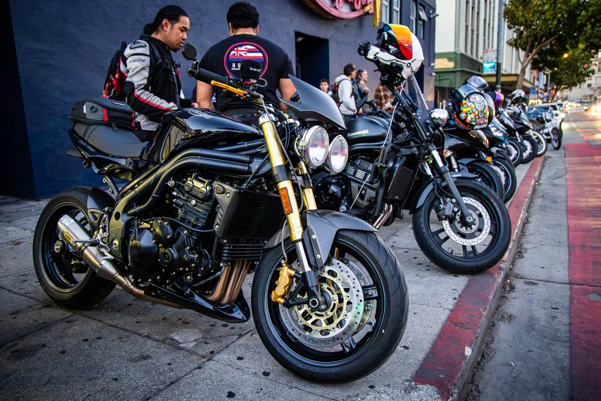
As my time here is ending, I wanted to catch a few obligatory shots of the motorcycle as this is it’s last weekend for the season that Donner Lake.


The weather couldn’t have been more perfect. The past couple of days have been massive heat waves in the Bay Area which means beautiful Autumn days at 6000 feet in the Sierras. Change, however, was coming. A front was coming down with from Alaska bringing clouds, wind, and rain. It wasn’t if I was going to mingle with this front – it was when.
I road out of Truckee on Highway 89 towards Sierraville. This section of Highway 89 travels across some wide valleys and climbs some steep mountains. A couple weeks ago I stumbled into Little Truckee Summit which looks to be an excellent network of roads off of Highway 89 to explore next season. There’s a number of reservoirs back there that appear perfect for motorcycle or truck camping.

In many places with winter, I often here the phrase there are two seasons: winter and road construction. That statement couldn’t have been more true today. Just past Little Truckee Summit Caltrans had the roads down to one lane switchbacks with a pilot truck waiting traffic through. Fortunately I was able to sneak up to the front to meet another rider on the exact same bike. Sure, the big GS isn’t that uncommon in these parts but it’s always interesting to see how somebody else customize the exact same bike to fit them.
Once the pilot truck cleared us from the road construction, the other GS took off down the highway. I enjoyed following him through the mountains and across the valleys. He was clearly experienced with his bike and it was great riding off his intuition.
Just outside of Sierraville, Highway 89 north follows Highway 49 south. I always find highway configurations going opposite directions of particular interest: What inspired the road designer to comingle two roads going the opposite direction versus making them separate entities?

The other GS rider and I continued on the combined highway 89/49 pavement. After a few miles, Highway 89 and Highway 49 split. Highway 89 heads north into the volcanic areas of California. Highway 49 turns to the west continuing into the sierra Nevada. I was hoping that the GS rider return or west but unfortunately he was headed towards volcano country. I guess, then, I really answered my own question. We shared a brief part of our journeys with one another made possible by this cosigning of highways.
The next 15 miles of roadway are known as the Dead Man’s Curves. In some ways it’s like Highway 49’s Little Dragon to the south but set in the context of the High Sierras.

As I was making my way to the top of Yuba Pass, I could see a small scenic overlook from the valley below. Off in the distance, I could see Sierraville and the highway across the valley. The wind blowing through that Valley was pretty incredible. I hadn’t experienced such weather deep in the Sierras like that in a long time when a thundercell was right on top of me.

Yuba Pass is the lowest and the most northerly of all the Sierra passes. Unlike the others to the south, it’s harder to include this pass with the others as it’s a long ride down Highway 49 to Highway 88 for Carson Pass. Just around the corner is the road work sign which is the second of four single lane road closures down to Grass Valley.

I pulled this picture from a ride I did in July to the top of Yuba Pass, Down to the Sierra Buttes, and back to Truckee. The Sierra Buttes, in my opinion, really is the gem of this ride. In the July ride, I headed north on Gold Lakes Road up to Graeagle (which is another excellent road).

Today, however, the weather is definitely changing. Clear and cold skies are turning into cloudy and damn skies. Weather is definitely coming. One of the things I really appreciate about the Sierra Buttes is that they very much pop out along the highway for a nice surprise coming down the hill.

At the corner of Highway 49 and Gold Lakes Road sits Basset’s a small country store and gas stop. On the way up here in May it was brutally hot. The shade on the front porch and a drink from the store proved to be a perfect combination. With rain on the way and needing to be in the bay area at 4 PM sharp, I will have to catch Bassett next time.
Further down the hill is Sierra city, a small community (technically known as a census designated place). Rolling into town I could see beauty, but immesnse fire danger looming. The city of Truckee, in particular Tahoe Donner how to put immense focus on awareness fire safety in the work behind making sure the forest is healthy. Looking at other areas in California you can see the contrast between the two communities. The dense vegetation and dry summer provide little protection between lush forest and raging fire.

A good number of the single lane road closures were actually due to tree work. As California becomes more susceptible to fire, road to do provide somewhat of a fire break between forests. I wrote through about 45 miles of various forestry equipment removing trees along the sides of the highway. The smell of pine permeated the air as the tree workers sawed, felled, and shredded trees to increase our fire resiliency. The damage from the Caldor fire along Highway 88 is truly heartbreaking so it is great to see the work being done here.

The road into Downieville continued to show pockets of great color. As the road continues to lower in altitude the bright yellow of the High Sierra slowly fades into the green of the foothills has these trees are quite ready for their autumn spectacle.


Next on the highway is Downieville (another census designated place). Highway 49 slid down to just a single lane when crossing into town. Downieville has a mix of small town charm mixed in with the surrounding foothills.
Downieville is one of California’s popular mountain bike areas in the Sierra Nevada. With a population of just under 300 people, I wasn’t sure if I was going to be able to find lunch on a Monday afternoon in autumn. Sure, on the weekends in the summer this place is bustling with travelers from all over the place. Mondays in the fall – not so much. I was imagining my time in Point Roberts – where the only restaurant in town was closed.
Luck met me at the Two Rivers Café right in the center of town! A burger and salad did the trick!

As Highway 49 snakes down the mountain the trees get greener, the roads get wider, and traffic got heaver. Then, the rain started.
By the time I got down to Interstate 80, I was getting to the mindset it was time to get home.

To save myself a fuel stop, I kept riding until I absolutley needed gas – hoping to save a stop when I got back in to town. I try to keep my tank full when the bike is in the garage. A full tank means that I don’t need to get gas before the next ride and it prevents water and rust from creeping into the tank.


All in all a good ride home. A super fun three days and ready for the next adventure.
Route:


Leave a Reply