
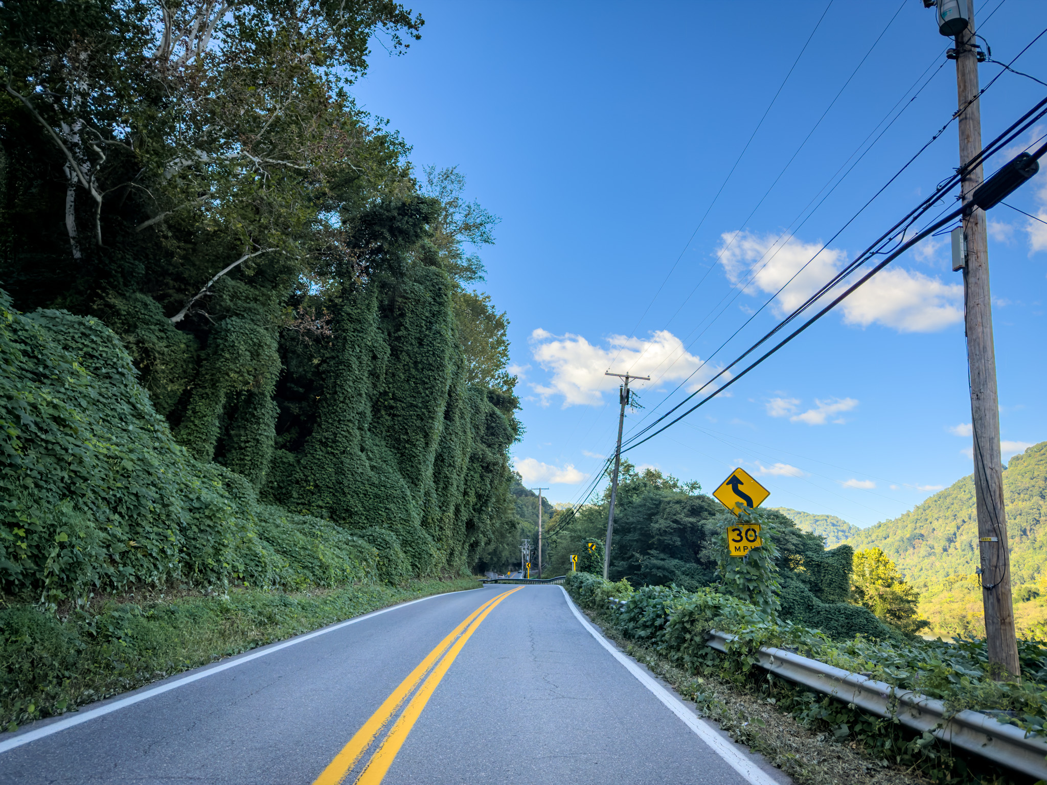

I’ve been kicking the nor’easter can down the road for as long as I could. I’m realizing how much less situational awareness I have here than I do back home. I don’t know the roads, I don’t know the weather patterns, and I don’t know the altitude of the various mountains I’m traveling through. Even the humidity is different, which affects how quickly I get cold. Back home, I can look at a weather forecast and fill in a lot of the blanks from experience. Here, I’m working with considerably less information. I only have visibility 50-100 miles ahead of me, given all the circumstances around me.
The original plan was to head toward Washington, DC, and hang out with a buddy of mine over there. Watching the storm reports, it seemed like the rain might have been doable. The wind was what ultimately changed my mind. My bike is tall, loaded with luggage, and has a lot of sail area. Throw in unfamiliar roads, DC traffic, wind, and rain together, and heading east stopped making much sense.
Looking west, the forecast was sunshine and warmer temperatures. Decision made. I’d divert through West Virginia and Pittsburgh, then make my way back east toward the Adirondacks, hopefully following just behind the nor’easter as it worked its way off the coast of New England.
Poking around Google Maps that morning, I stumbled across the Dan Ingalls Overlook. The pictures made it look modest, but it was only three miles out of the way, and I’m always a sucker for a good viewpoint, especially one with easy parking and a wide view.

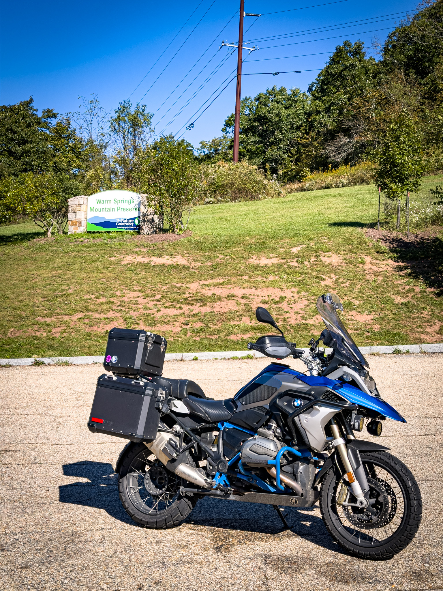


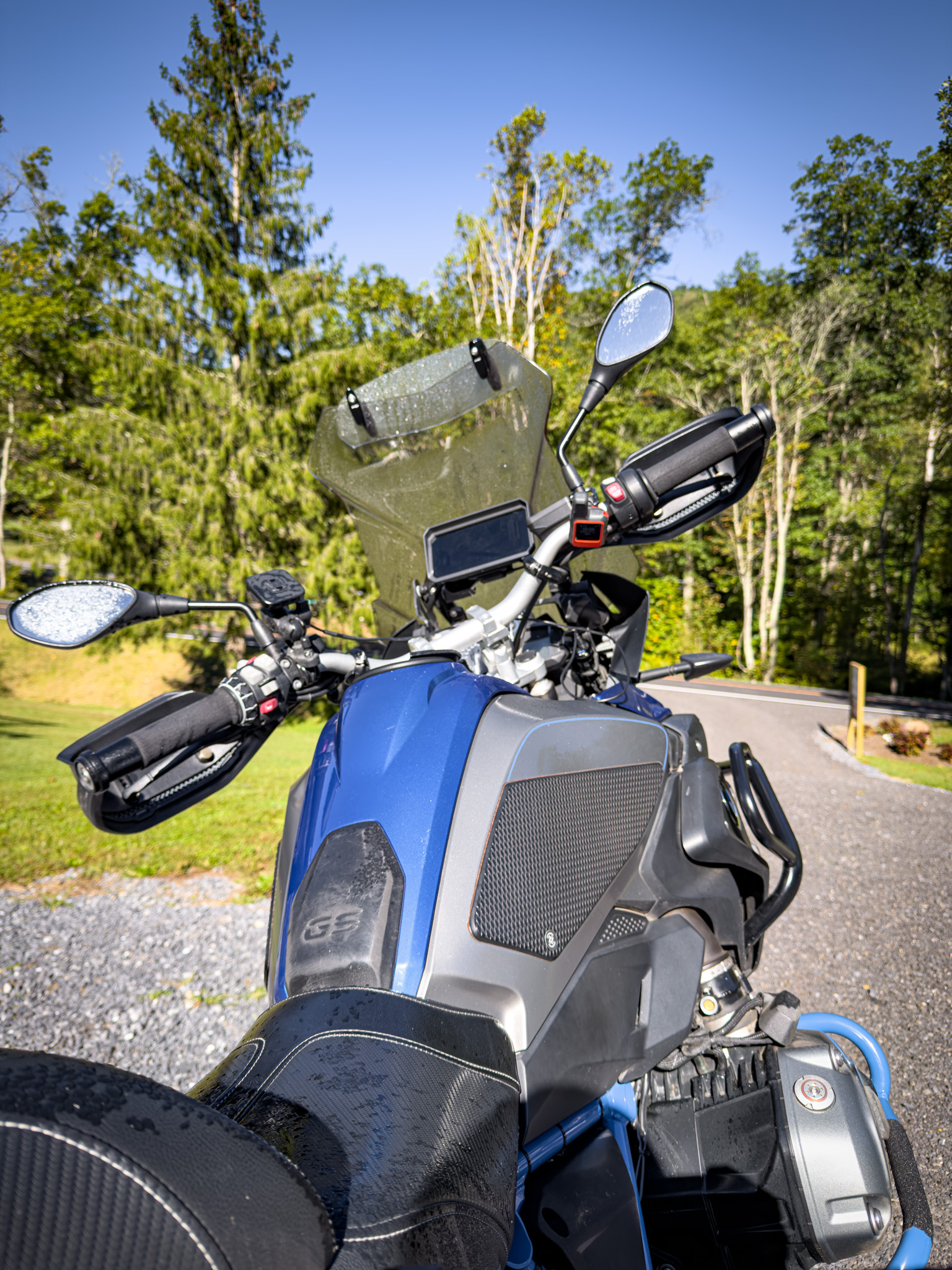
The riding plan for the morning was pretty simple: navigate laterally across the Appalachians, balancing mountain carving with valley riding. Highway 39 took me over the pass from Virginia into West Virginia. In some ways, I was taking the easy way out of Virginia, using the skinnier western part of the state and turning toward West Virginia to avoid the storm rather than continuing northeast.


Highway 39 continued to be good once I crossed into West Virginia. What I couldn’t figure out was why Google Maps kept showing that parts of it were unpaved. I mean, it’s a major state highway. I understand this is West Virginia, but it’s still a major state highway, and I’ve never seen construction where a road was clearly torn up accompanied by the same “unpaved road” admonishment Google was giving me.

The road continued to deliver everything that makes a motorcycle happy without ever yielding its pavement. For whatever reason, Google Maps was simply wrong on this one. The pavement was good, the weather was good, there weren’t many cars, and the GS was perfectly happy.


Lunch brought me into Rainelle, a small community tucked into the hills of rural West Virginia, well off the routes where travelers regularly flow through.

An acquaintance of mine back home grew up in West Virginia. Before I left, I asked him what he might recommend seeing if I made it through his home state. Of course the New River Gorge came up. It’s the relatively new national park in the area and the obvious destination. His reaction to West Virginia itself was more complicated.
He had ultimately decided life would be better outside his home state. You could hear the tension in his voice as he talked about it. There was a longing for what was good there—the people, community, and culture—while at the same time he couldn’t steer away from some of the harder realities of growing up there. He also talked about the hard times visible across the state as the economy shifted away from coal.

I’d seen the YouTube videos highlighting poverty, decay, and despair. My hope in coming through West Virginia was that I could see beyond that. Those videos show buildings and towns, but there are people living behind all those pictures. I wanted to see some of the community my friend still spoke about with affection.
Very quickly after landing in Rainelle, though, it became painfully clear that I didn’t belong here. There was no hiding the fact that I looked like a Power Ranger astride a beefy BMW motorcycle with California plates. I was different, and there wasn’t much chance of quietly blending in.

Lunch didn’t do much to close that distance. I was helped last, served last, and spoken to only when necessary. It was a stark departure from the almost automatic friendliness I’d become accustomed to farther south. As I walked back toward the motorcycle, a gardener was putting in some beautiful flowers outside the restaurant. I mentioned, “Those look beautiful,” and got what felt like a scowl and a growl in return, so I kept walking.
I left Rainelle deflated and confused. Maybe it was small-town isolation. Maybe I was the guy from California who had just dropped into somebody else’s community dressed like I was ready for a moon landing. Maybe I was reading too much into a few interactions because of what I’d already heard about West Virginia. Thinking back on it, though, the guy at the gas station a few towns earlier had been equally insular. Whatever the reason, I couldn’t figure out the social rhythm here. Farther south, casual interactions with strangers had almost become routine. Here, I’d put a little something out—a question, a compliment, a little conversation—and mostly get nothing back.

As a place to ride a motorcycle, however, West Virginia definitely delivers. The pavement was good, the weather was equally good, and there were so few cars that on almost every level the bike couldn’t have been happier. I was having a great time riding here. I was just having a much harder time figuring out the place whenever I got off the motorcycle.
I pointed the bike west toward New River Gorge. I remembered the Gorge from Boys’ Life magazine as one of those places every Scout should go visit. As an adult, it seems like at least once a year an adventure magazine sells essentially the same idea.
Once I arrived at New River Gorge National Park, I realized that the bridge was US Highway 19. The roads and mountains felt close to my childhood, bringing back great memories of the southern Appalachians. My mind also immediately went to the Foresthill Bridge outside Sacramento. Both bridges are engineering marvels in their own right, although the New River Gorge Bridge is significantly bigger, with some of its engineering grandeur hidden in the forest below.

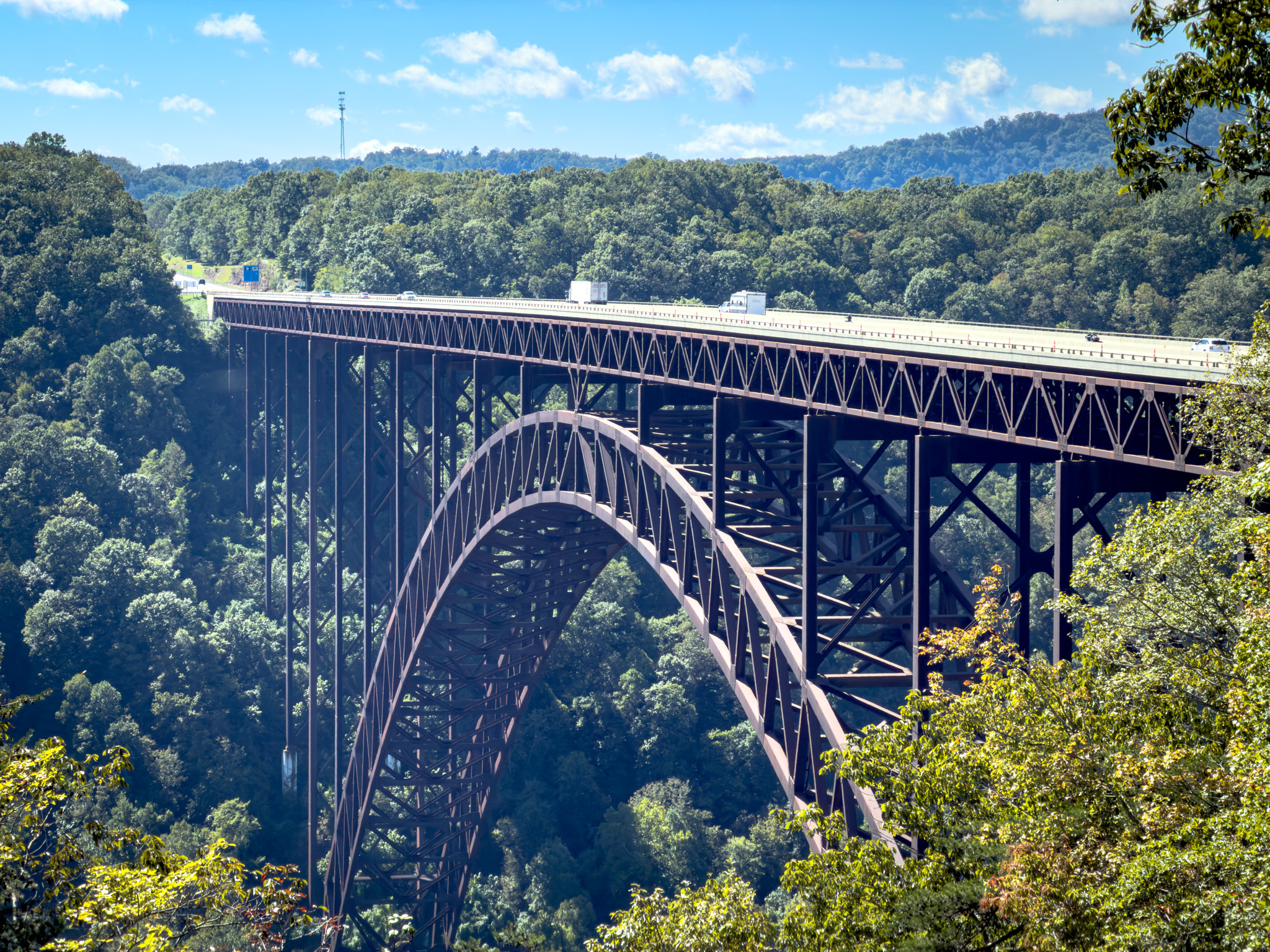
What intrigued me as much as the bridge itself was the motorcycling around it and inside the Gorge.
The ride down to the bottom is definitely worth the excursion, although it’s probably not for the faint of heart on four wheels. The road is narrow and dirty, and even on a motorcycle there are places that provide a little pucker factor for the less experienced. Fortunately, about half the journey is one-way, eliminating the risk of a truck coming around a blind turn a little too quickly.

Once at the bottom, you can really appreciate how big the bridge is. Wide-angle lenses, even on an iPhone, rob it of some of the grandeur of the architecture. You can fit the whole thing into the photograph, but somehow doing that makes it look smaller than it feels when you’re standing underneath it.

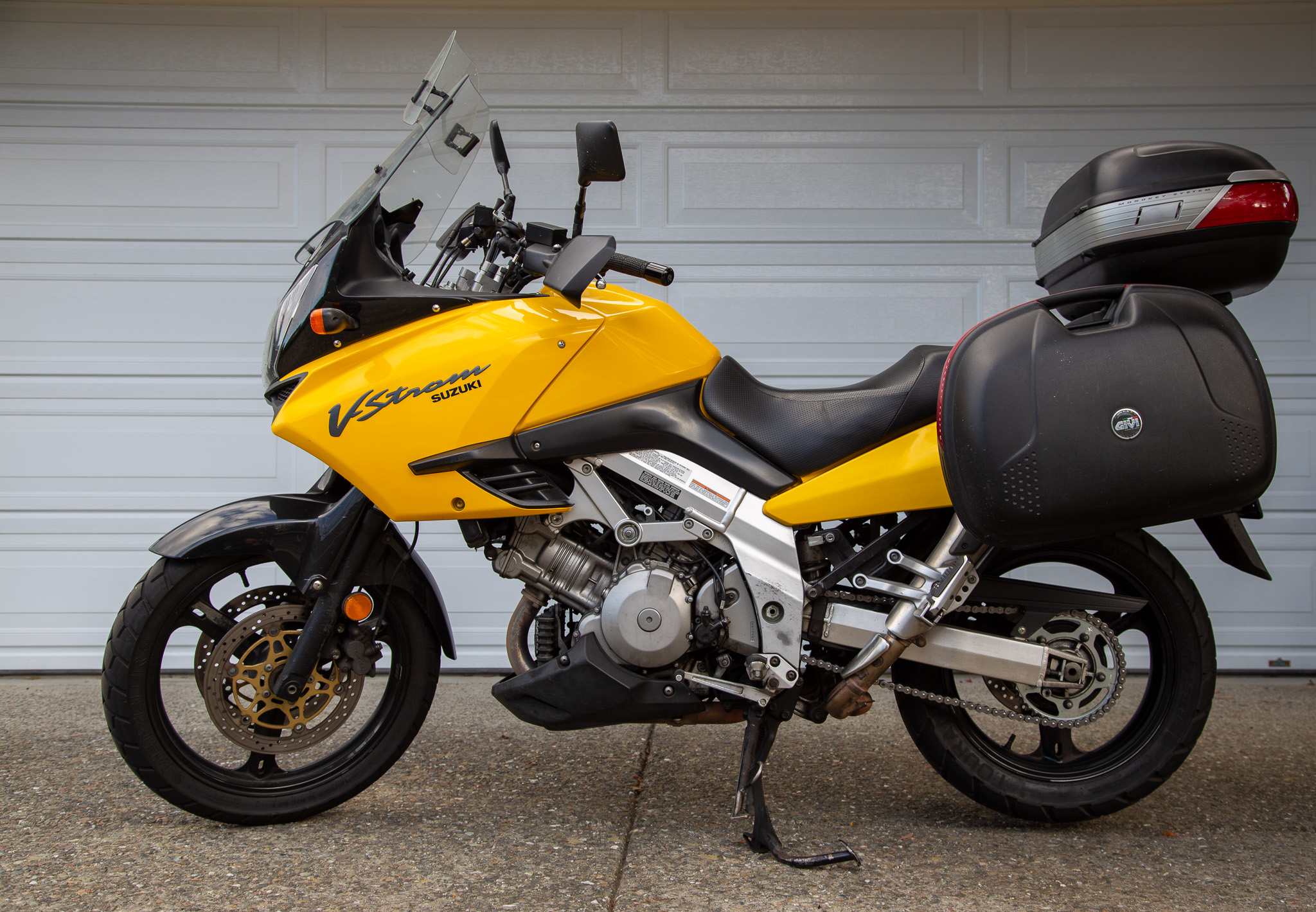
Walking back toward the bike from the visitor center, I noticed another motorcycle had pulled into the parking space next to mine. That’s where I met Tom and Jennifer, who were exploring the same area on their V-Strom. I’ve always had a fondness for that bike, and they loved talking about theirs and the adventures they’d had on it. Motorcycles made the conversation easy, and we talked for a while about bikes, travel, and riding.
It was the first honest conversation I’d had since crossing the border into West Virginia.
Where did they come from? Ohio.
I’d seen a beautiful picture of the New River cutting through the landscape and wanted to find the panoramic view of the river curving around the mountain. At first glance, it looked like Concho View Overlook was the place. I wandered my way through small roads, then smaller roads, through increasingly off-the-grid neighborhoods until I eventually reached Concho View Road.
Google Maps had been flagging roads as unpaved all day that turned out to be perfectly fine. Naturally, this one wasn’t flagged, and it actually was unpaved.

I was bummed to turn around, but I didn’t want to risk getting stuck off-road by myself in an area with the potential for mud given the amount of rain that had been moving through. I later discovered that the overlook I was actually looking for was Grandview Overlook, right inside the national park.
Doh!
I continued west, planning to spend the night in Charleston. Somewhere along the way, I realized the decay was starting to get to me. Maybe it was the road I was on and the places I happened to be going. Maybe I was looking for things I’d already seen on YouTube. I kept asking myself how much of what I was noticing was West Virginia and how much was the picture of West Virginia I’d brought with me.

After enough miles, though, it became harder not to see.
I didn’t know enough about the state to explain what had happened to the places I was riding through, and I certainly wasn’t going to understand it from the seat of a motorcycle in an afternoon. I also didn’t want to reduce an entire state to the condition of the buildings along the roads I happened to choose. I had specifically come here hoping to see the people and communities underneath that easy narrative. So far, the riding had made it very easy to love West Virginia. Getting underneath the surface was proving considerably harder.

As I pulled into Montgomery, a small town outside Charleston, I gave a simple wave to a guy working in his front yard.
He flipped me off.

A little farther along, I stopped at a CVS. Right after I walked through the door, a guy stocking a shelf looked at me and said, “Howdy, how can I help you?”
It caught me off guard. Even in California nobody asks if they can help you at CVS. Somewhere over the course of the day, I had apparently started expecting people not to be nice to me. He pointed me in the right direction for a Coke and a Barebells bar, and I headed back outside. Then I stopped, turned around, walked back into the store, and found him again just to say thank you.
It was such a small interaction that he probably didn’t give it another thought.
I honestly just needed that.
I wandered along US Highway 60 toward Charleston. The roads got bigger, although the traffic only moderately increased, and eventually I found my way to the Embassy Suites downtown looking for a little bit of plush after a long day. Instead, I discovered that I’d booked a very downtown hotel with very downtown nonexistent parking, in an area where I wasn’t entirely sure about leaving the motorcycle in a parking deck a block away.
The hotel staff directed me to a small sidewalk parking spot. I don’t think either of us was entirely familiar with it or comfortable with the arrangement, but it kept the motorcycle close to the hotel, in theory by a camera’s watchful eye.
Fortunately, every Embassy Suites from coast to coast looks essentially the same. This one just happened to have two broken elevators out of three.
Hopefully a long day doesn’t bequeath a long night.
Ride Details
Route Map
Start
Warm Springs, VA
Destination
Charleston, WV
Distance
190 miles
The Ride at a Glance
Scenery
★★★☆☆
Curves
★★★★☆
Road Surface
★★★★☆
Traffic
★★★★★
Difficulty
★★★☆☆

Leave a Reply