Getting to Death Valley:
There are two routes we usually take down into Death Valley. The “short” or “regular” route and the “long” route. I’ve never done the longer route as it is usually cold in the morning and I’m not one to go up to 8,000ft when it’s 40 degrees at 4,00 ft. For the adventurous:
The Long Route:
And for the rest of us:
The Short Route:
The Day:
The day started out cold. The temperature was hovering about 40° and the skies were clear. Kick stand’s up for Death Valley was at 8 AM. Surprisingly, most of the bikes made that deadline. A few of them left at 7 AM for the longer ride.
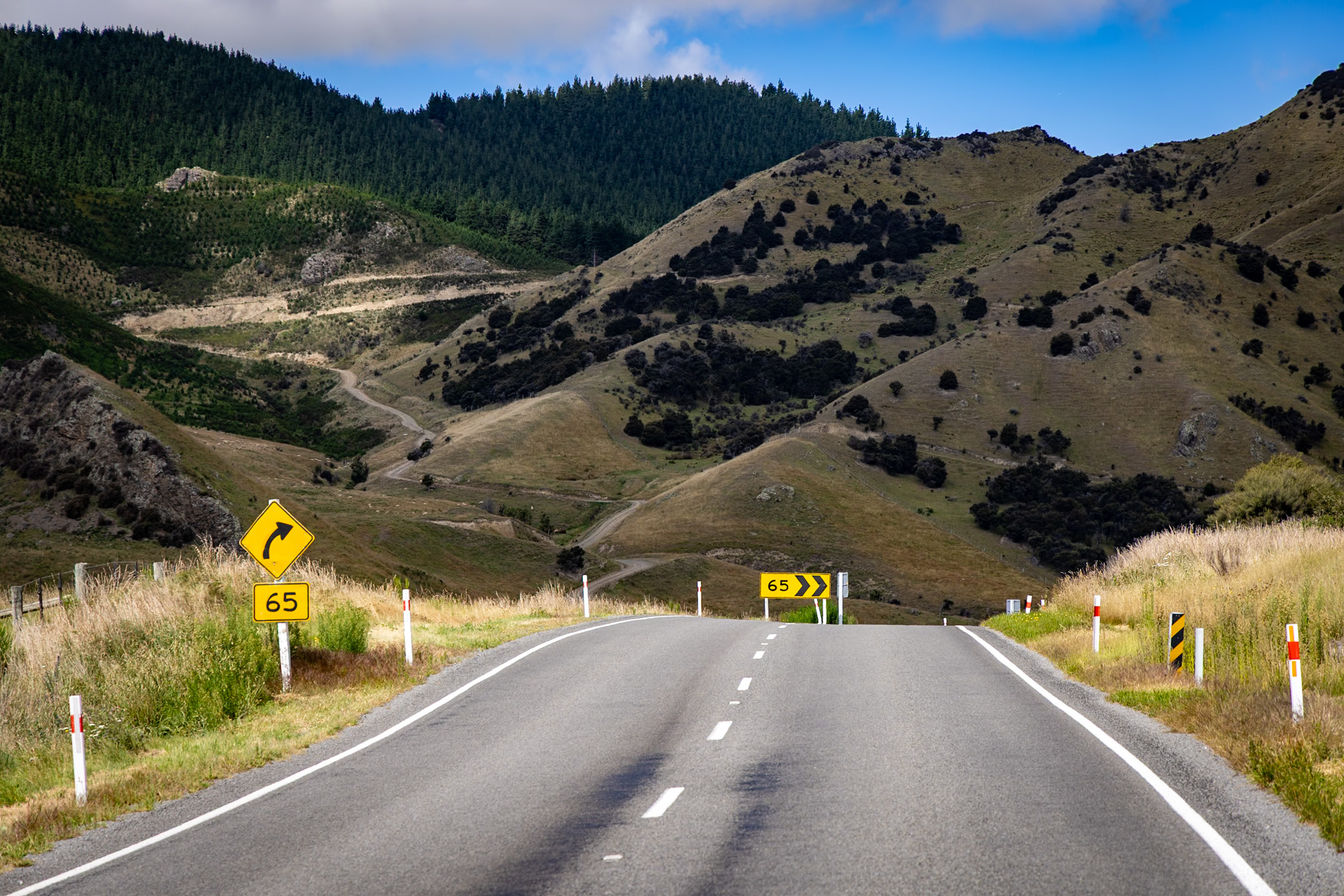
Bishop down to Lone Pine isn’t the most interesting of rides. US 395 Meanders Its Way down the Eastern Sierra in a four-lane highway. There’s a couple of good roads off the highway that sneak back into the mountains but not a clear alternate for the main highway. The group was lumbering along so a few of us sportier types jumped out and then rolled down the highway. Once in Lone Pine, we took the left turn into Death Valley. It was 104 miles from Lone Pine down to Furnace Creek. Normally, I would think 104 miles is about two hour ride. In this area even the most timid riders make it in good time. 🙂
The first chunk of CA-136 and CA-190 are high speed rides over wide open deserts. The wide open spaces have little vegetation and lots of brown. The area for a few months a year get over 120-130 degrees F. Being October, the area is just coming off of that season. The temps today were going to be a pleasant 100F. Needless to say everything that would live here has gone elsewhere for the summer.
With a few miles behind us, we cross into the park!

While enforcement isn’t all that tight in the less populated area, it’s easy to speed here well over the limit. Federal parks mean federal tickets. No traffic school. Caveat emptor.
As CA 190 approaches the canyon, Father Crowley has his overlook:

The next 10 or so miles are in sharp contrast to the prior 30 miles. It’s tight, twisty roadway that decends a few thousand feet into the Panamint Valley. At the top of the pass it was in the high 70s. In the valley it was in the 90s. Temperature rises raplidly here. Carry and drink lots of water. We were planning to stop for gas at Panamint Station, but the generator was out and that meant no gas. 🙁 We crossed another mountain range then were down in the valley where it was fully hot. Gas options are reasonably plentiful in the park given the location: Furnace Creek, Stovepipe Wells, and Panamint Valley. We were doing well to make the Zabriskie Point photo at 12:00 so I needed to kill some time with the group. We stopped at the Mesquite Dunes for a little photo op!

Once at Furnace Creek we made our way out to Zabriskie Point. While the noon time light was not perfect, it’s a great show of color and geology!

About 100 riders (give or take) came from all over California to the event. It’s great to meet new friends and see old ones at the same time. The bikes took a large chunk of the parking lot!

With the photo taken, it was time get lunch. Usually we all go to the Wrangler for a mediocre buffet. I met some of the riders from San Diego who wanted to go back to Panamint Valley and eat there to avoid the crowds. I’d not been there before and was up for the adventure. First off though, it was time to bend over and get gas. Gas here seems to be what we pay back in the city next year 🙁

Lunch was 50 miles back up CA-190. After the photo at 12:00, then gas, and the ride we didn’t get here until nearly 2pm.
Panamint Springs Resort (C is average. No grade inflation here):
| Category | Score | Comments |
| Seating | NR | We got there well after a rush, so hard to say if it would be easy to get a seat. |
| Atmosphere | A | The shaded patio was great. Since it’s dry in Death Valley, shade really cools off the area quickly. |
| Wait Staff | B | Our waitress was cordial and friendly. She kept everyone’s glasses full of liquid. |
| Food | A- | We all had pizza. The food was really good. A nice surprise for being way out in the desert. |
| Value | B | Good value given the location. Furnace Creek is really expensive for what you get. The food was better and price was cheaper. |
| Overall | B+ | Who says you can’t get more for less? I’d definitively go back! |
From here we routed back the same way we came. Usually I’d take Trona-Wildrose road down to Trona for a different way out, but the San Diego group came that way since they stayed the night in Ridgecrest. Fifty miles later we were back in Lone Pine and then slogged on US 395 down to CA-178. CA-178 is the most southern of the Sierra passes and usually remains open all year. Walker Pass is a nice little stop with some Joshua Trees dotting the landscape.

Looking back east, it was apparent how barren the landscape was. With the valley behind us it was time to head back into the mountains.

With 60 miles to go, it was time to start heading back into the mountains. CA-178 is a nice ride from Walker Pass through Kern Canyon and out to Bakersfield. The road has a mix of high speed sweepers and tight turns on it and there never seems to be a ton of traffic on it. We took the turn to Kernville and hugged the coast of Lake Isabella for a number of miles. With the water level so low late in the season, she wasn’t at her prettiest but the golden rays of sunset lent a warm glow over the area.

The People:
It’s hard to put into words all the interactions and people I met over the weekend. The collection speaks for itself.


And lastly, I didn’t wind up taking either route…
The Route:


Leave a Reply