I was up insanely early this morning. It was 5:30 AM and I was wide awake. There are generally two ways to get into Death Valley: Lone Pine and Beatty. The first two years I went via Lone Pine as most people went that way`. With my trip to Australia getting closer and closer I wanted to do the Beatty trip as it might be a while before I’m able to do it again. You know, live life to its fullest?
I brought all of my heated gear knowing that it was going to be cold Sunday morning. Usually the plan for the larger group is to roll at 8 o’clock from Bishop. I thought the plan for the Beatty group was to meet at 7:30 AM, 15 miles to the south in Big Pine. Gear all crammed into my Aerostich I hit the road at ten after seven. At 4000 feet elevation the temperature was a balmy 45°F. I even got a few pictures of the sunrise!


I got to the Chevron station in Big Pine at 7:32 AM. I was the only one there. I thought “Shit!” I figured everyone had left already and I would be playing catch-up for the morning. I hopped on the bike after gassing up and headed back north on 395 and took the turn off for highway 168. Highway 168 has fooled me a number of times on the way to the Ancient Bristlecone Pine Forest. The first time I didn’t have water. The second time my insulin pump malfunctioned. This time? I was a lone rider in a group. Highway 168 crosses three major passes between US highway 395 and US highway 95. By the time I got to the top of the first pass it was well into the 30s. The sun was out, however, and it was a beautiful view back to the Sierras.


I passed a large semi truck on the way up. As we were heading down the pass it was clear the truck knew the road much better than I did. After a harried few miles, I found turn off and waved the truck on. The thought of my tire came back to me again as the road surface was rough and there was nobody out on this road. Will I have enough tread? How quickly will the tire wear on this rough pavement? Cellular service was just about nonexistent out here. I really do like T-Mobile, but their service is close to nonexistent outside of major cities.


At the top of the second pass a giant thunderhead moved in and the sun was all but gone. The wind picked up and I was surprised how quickly things went from good to bad to worse. Now I was cold, unsure of my future destination, lonely, and had no cell signal. It wasn’t cold enough for snow but it did start to rain. Being alone can play tricks on your mind. You become unsure of yourself as there’s no one else to be the voice of reason when you’re not. I focused on the fact I knew things would get better once I got to US 95. The skies thundered in the rain came down but I just kept focusing: “Get to US 95.” The wind was bitter cold and I was anything but a happy camper. California 168 yielded to California 266 for a few short miles which became Nevada 266. Highway 266 was way more mellow than 168, but still a rough ride given the weather. I went up one more pass and down one more pass in couldn’t of been happier to see “US 95 South: Las Vegas.”
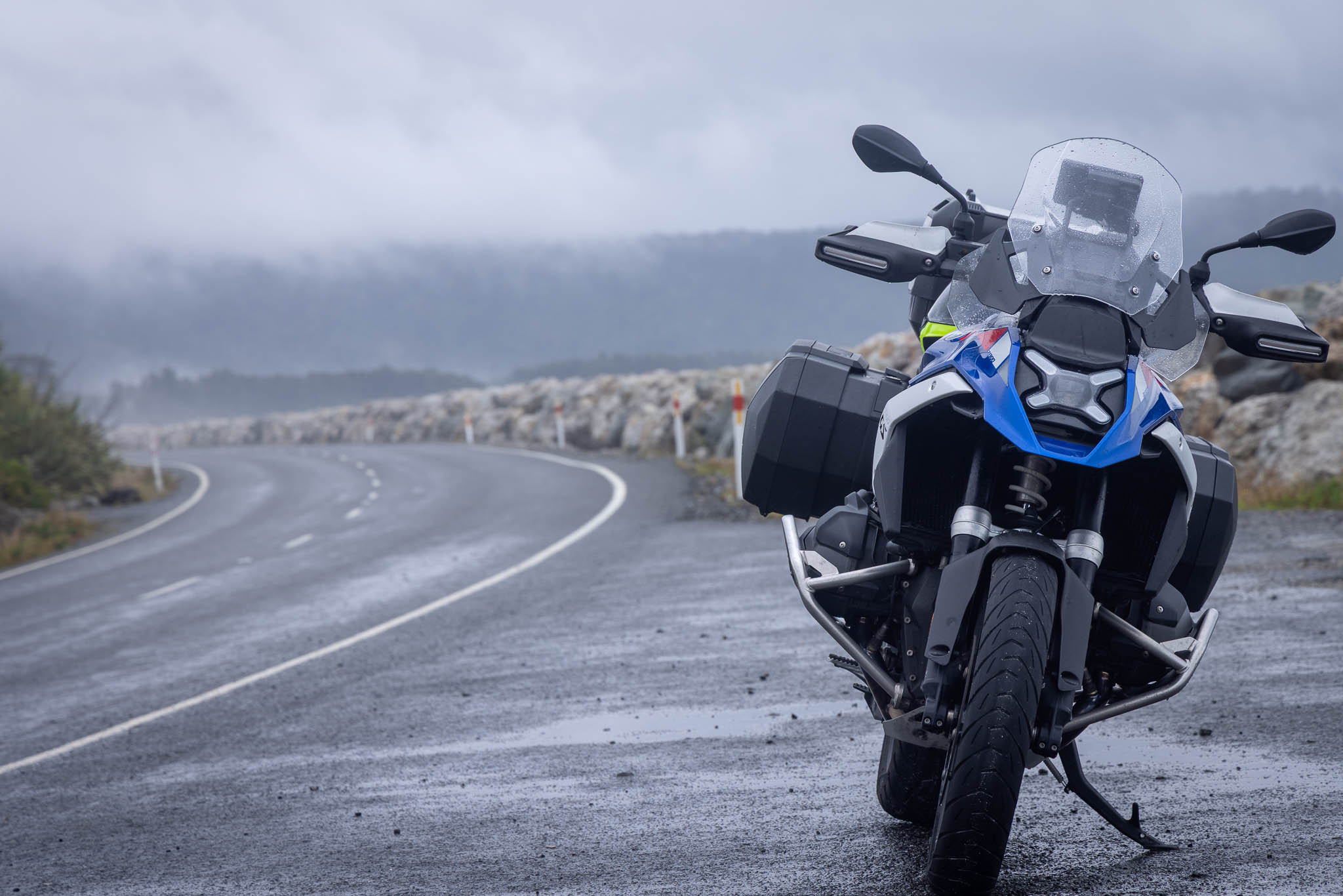
I’m always over aggressive when it comes to replacing rear tires. I know that’s a good thing, but sometimes the paranoia can get to me. The pavement was much better on Highway 95 and it was only 165 miles into Las Vegas should my rear tire quickly disintegrate. It turned out it was just fine. By the time I got to Beatty I was ready for a break. It’s a small Nevada desert town: a bit of retail, a bit of hotels, some residential areas, a few trailer parks, and of course brothels and casinos. I got gas for the bike, Subway for lunch, and took a few minutes to mellow out. It was only 10:30 in the morning and I had an hour and a half to go an extra 30 miles to get to Furnace Creek. I wondered, why did everyone leave so early?
As I was getting ready to leave in rolls Matt, Mark, and Michael. I couldn’t have been happier to see a familiar face. What happened? It turned out I was the first to leave. The rest of the group didn’t leave for another 30 minutes! What was the other benefit from sleeping in? The rain had already moved through. No one else got wet. Matt really recommended this gas station for beef jerky. With his recommendation I got an extra pounds of dried, dead animal to take with me.


The ride over Daylight Pass was pretty. Nevada 374 winds into Death Valley from the eastern side. There’s much less traffic that way and Beatty makes for an easy overnight rather than Furnace Creek. The Furnace Creek Inn can run up to $600 a night. The Furnace Creek Ranch is usually about $250 a night. What is a cost to stay in Beatty? You can do well for under 100 bucks a night. Plus, it’s only a 30 minute commute into the park.
I wanted to get a photograph of the Nevada state welcome sign. I figured I could get it going back into California rather than deal with the weather leaving California. It turns out both states cheaped out. There is no welcome sign on Nevada 374. Oh well! I guess it’s something for next year.
The big focus of this ride is a photograph at Zabriskie point. We all gather from four corners of the state at noon on Sunday to take one common photograph. Once Michael rolled in we all heard him say “Screw it! I’m hungry!” So, there is no photo and we were left to make our own plans for the afternoon. As we started to walk around Furnace Creek, the park seemed open. In stark contrast to Yosemite, most of the attractions around Furnace Creek were open. Xanterra, a private corporation, runs most of the lodging near Furnace Creek. Since they had guests to keep happy and were out in the middle of nowhere, It seemed like no one really cared if things were open despite the drama in Washington. But with no photo and everyone scattered, it was time to move on.


The road to Ridgecrest from Furnace Creek was closed due to a washout. That means we had to head over California 190 back to US 395. Andy joined us from Furnace Creek. Right out of Furnace Creek, my bike started to gasp for air. I eased off the throttle and after a few mins then started to give it more gas. It began to gasp for air again. Dammit. I don’t need this. I slowed down and kept the mellow pace for the next 30 minutes. I give it more throttle as I began to climb Towne Pass. The bike seemed to cooperate. I’ve always liked stopping at Panamint Springs, a small gas station, restaurant and campground right near the park boundaries. We met Eric and Roland who were apparently very lost on our way out of the park. We lost the faster guys in our group due to my bike issues and the stop at Panamit Springs.
On the way out of the park we all stopped at the welcome to Death Valley sign. Since we didn’t have a large group picture, it was our best option to commemorate the ride. The stuttering issues I was feeling earlier in the ride were all about gone. I’m not sure if it was a spell of bad gas or something else. What’s good though, it that is it seems gone.


We opted for US 395 down to California 178 crossing at Walker Pass. Walker Pass is the southernmost crossing of the Sierra Nevada Range. It’s also one of the few spots in this area that has Joshua Trees. Whenever I see them, I always think they are cool 🙂


We rolled into town early tonight as well. Homoto was holding a small cocktail party for the group which was great. Since this ride is all about riding, we don’t really have a place to mix and mingle as everyone tends to do their own thing. So, in a way, we got the group photo after all!
Route:


Leave a Reply