
At about 3 AM it was just cold. I wasn’t expecting the ride to be on the coast and was duly under prepared for the weather. Given that we had no other option we just toughed it out until morning. A little bit of fog had crept in but it could’ve been a lot wetter which would’ve aggravated the cool air.

One of the main features of Shelter Cove is the airstrip. It’s right in the middle of town and runs a good length of the area. A friend of mine was telling me that airport gets a fair amount of use as it is quite a hike to travel to Shelter Cove by land. With a motorcycle the trip is great. However, I could see in a car that the trip could be a bit arduous.
We got a bit of an earlier start this morning. There was no real option for breakfast other than the general store down in Shelter Cove. It was a mix of odd sorts: cereal, mixed nuts, and cheese. The store didn’t have much in the way of low carbohydrate fare but beggars can’t be choosers. By 8:30 everyone was packed and ready to go.

Rob:

Carrie:

Ann:

Steve:

Dave:

One of the neighbors dogs came over and insisted that she say hi.
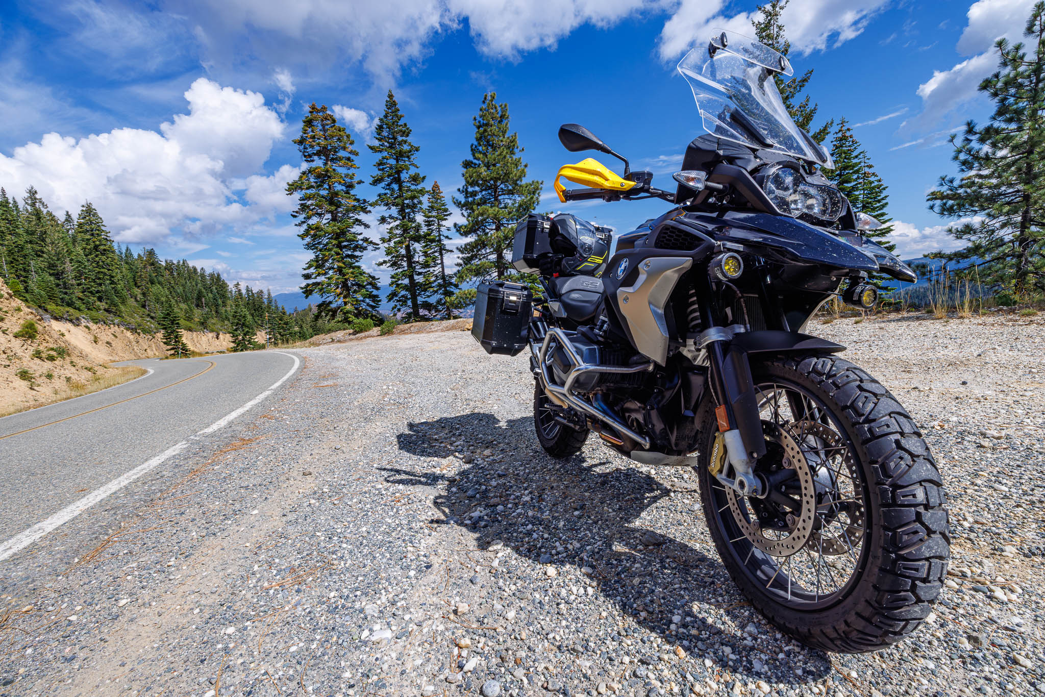
The route today actually included a few strips of pavement I have not seen. It stared by making its way back to US 101, hit the Avenue of the Giants, then take Highway 36 over to 3, then take some side roads to the final destination in Yreka. I’ve never been on the section of Highway 3 between Highway 299 and Highway 36. Also, the side roas at the end looked interesting as well.
My favorite time of the day to hit the Avenue of the Giants is the very late afternoon as the sun’s rays are long as they trickle through the redwood trees. That being said, the morning is not bad as well. There are a number of hideaways I’ve not seen on the Avenue. When we were passing by the Founder’s Grove I decided to stop.

There were a couple of interesting landmarks all surrounding the Founder’s Tree.

While these trees are tall, they are also big as well!

Really tall!

One of the pieces of trivia for the poker run was to figure out when the old bridge in Bridgeville was built. It turns out it was 1925.


One of the things about Highway 36 that always keeps me unsettled is that I never know where gas is. I remember from a ride last year that Dinsmore was a probable stop. It turns out that my memory serves correctly. Actually, it’s a better stop for gas than Fortuna! Highway 36 is 140 miles between US 101 and Interstate 5. It’s all technical and there are not many services on the road. Bikes with smaller tanks need to be particular about where they stop. Dinsmore provides that stop gap.

Soon after Highway 36 folded into Highway 3. We stopped for lunch at Irene’s Café and were treated to an good lunch!
Irene’s Cafe (C is average. No grade inflation here):
| Category | Score | Comments |
| Seating | A | For being a small town, Irene’s Café was crazy busy. A good portion of the traffic was from the ride and the hostess and wait staff managed things really well. |
| Atmosphere | C- | The restaurant was fairly dated. Everything though was functional. |
| Wait Staff | A | Our waitress was awesome! It turns out the family was from Texas and decided to move to Hayfork and bought the restaurant. Because they were from Texas, actual sweet tea was on the menu! Our waitress was more than willing to add color to the restaurant and the area. That was very much appreciated. |
| Food | B- | My hamburger was really good. In general the menu was pretty traditional and most people’s food looked good, but not great. |
| Value | C | Seemed to be fair for the area, but food quality was below par. |
| Overall | B- | In Hayfork you don’t have a lot of options. Even so, I would come here again. |

The southern portion of Highway 3 is a nice technical ride through the Trinity Alps. The turns are somewhat predictable and the pavement is good which all in all makes for a great ride. Once we got into Weaverville we found one of the main riders in the rally wore through his front tire to quickly! He found a U-Haul and unfortunately was going to have to trailer his bike either to Redding or bring it all the way back to the Bay Area :-(.
Highway 3 between Weaverville and Yreka is a section I know quite well. There’s a nice mix of technical riding, high-speed sweepers, and a little bit of straight. I was looking for a clear mountain lake much like Whiskeytown Reservoir. I thought that Trinity Lake might be that spot but when driving by the water was fairly murky. We pressed on further north to see if there was better water further ahead. It turned out that answer was no.

We needed a bathroom break so we found this place:
After poking around the station we were greeted by the rangers and were that the station was closed. I was kind of surprised there wasn’t a bathroom we could use. There were obviously more than a few people on-site even though the station was closed. Hell, a tree would’ve been fine. It’s not like they were in short supply. Since he effectively ordered us off the area we headed out and headed north.

I love the climb over Scott Mountain. The south side is very technical and a hoot to ride!

At this point I could see that Nick was getting a little tired but still having a good time on the ride.

Once we got into Callahan and looked at the map I realized we missed the turn off to Yreka. I remember seeing a few BMW GS bikes off to the right and I had incorrectly assumed that was the dirt route for the day. It turns out that that turn off was the pass over to Yreka. It was easy enough to stay on Highway 3 however the route would be just a bit less technical.
8005043127

The section between Callahan and Fort Jones is fairly straight and high-speed. Usually I turn onto Scott River Road and head to Highway 96 from Fort Jones. I’d not ridden the section of Highway 3 to Yreka. It turns out that’s actually a great section of highway! The road has a lot of high-speed sweepers and beautiful views of the Trinity Alps. We arrived in town about 6:30 PM. Camping was to be at the Siskiyou County Fairgrounds. Not exactly scenic per se but there was plenty of spaces for tents, decent facilities, and it easily accommodated 170 motorcycles.

I learned from yesterday to get answers from the other riders for the poker run. I had a full hand. Unfortunately though, I had nothing good. 🙁
Nick really didn’t have anything good either but we were in good spirits about it! 🙂
Ann brought some margaritas for the group. I always find the second day on a multi-day ride to be the most difficult. You really begin to feel the first day and your body hasn’t adjusted or at least succumbed to the fact that it’s going to be sitting in one position for many hours at a time. Needless to say the alcohol was welcome. 🙂
Dinner on Saturday night was served to us so portions were well-controlled. Sunday night however they left us to serve ourselves. By the time our group got there all the food was gone. After a little bit of drama between the organizers the rally team ordered in Kentucky Fried Chicken for the rest of us. It had been a very long time since I had seen the Colonel so round two food was okay.
After dinner was the awards banquet and raffle. Just about everybody went home with something even if it was a small token. Somehow I fell through those cracks which was fine. I was able to score a T-shirt which was what I was really after!
The talk of the town for the evening was how to get home. We were in Yreka and San Jose was a long way away.


Leave a Reply