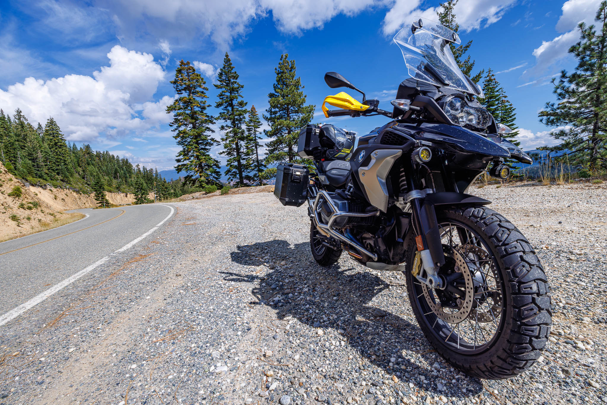
Both the northern California and the southern California groups made it to Mammoth Friday night. The So Cal guys rolled in at 7pm and the Nor Cal guys made it at 9:30pm. Both groups rolled out 12 hours later. Southern California did three major passes: Tioga, Ebbets, and Carson. Northern California did Nevada.
A few years ago we did the roller coasters on 120. They were a big hit then so we headed out that way to do them again. From Mammoth, it’s a high speed ride along Benton Crossing Road out to 120 about 7 miles west of Benton. Benton Crossing is a high desert run. On the west side of the road one can just see Crowley lake out in the distance.
![[Group 1]-IMG_6431_IMG_6434-4 images](https://i0.wp.com/dashedyellowline.com/wp-content/uploads/2013/10/group-1-img_6431_img_6434-4-images.jpg?ssl=1)
Benton itself is a little more than a gas station but the hot springs are supposed to be cool out there. We took a right at the 120/Benton Crossing intersection as the ride up the hill is not to be missed. Near that intersection are some really neat rock formations.

This area really is the end of the Sierra Nevadas. There’s a small transition area where the more lush flora thins out. These moutains are the last of it for this area.
![[Group 13]-IMG_6450_IMG_6454-5 images](https://i0.wp.com/dashedyellowline.com/wp-content/uploads/2013/10/group-13-img_6450_img_6454-5-images.jpg?ssl=1)
Then the dry Nevada desert begins for some 600 miles until the Wasatch Mountains in Utah.
![[Group 14]-IMG_6458_IMG_6461-4 images](https://i0.wp.com/dashedyellowline.com/wp-content/uploads/2013/10/group-14-img_6458_img_6461-4-images.jpg?ssl=1)
California 120 is known for the roller coasters. The road has a number of severe dips and bumps that will make your stomach leap out of it’s place riding even just the speed limit of 65. Plenty of riders do it faster, but I’m not one for the feeling of dropping so I tend to keep it on the tamer side. Plus there are a few spots you can easily outride your vision and reaction time. In the highest speed section of the road CalTrans was doing road construction. The road was torn up to a dirt path to facilitate pavement. This went on for a number of miles. As we neared Mono Mills I finally stopped for the Pumice Desert.
![[Group 15]-IMG_6466_IMG_6470-5 images](https://i0.wp.com/dashedyellowline.com/wp-content/uploads/2013/10/group-15-img_6466_img_6470-5-images.jpg?ssl=1)
This area has a very unique rock to it that is white and light. It’s pumice! Duh!
My riding buddy kept pushing me to do something I’d not before so we took the 182 out of Bridgeport. Gas was it’s usual ass raping in town but when it’s the only pump around, they can charge $1.50 more than you are used to paying and you will gladly do so. Bridgeport Reservoir isn’t all that, but the 182 is a nice ride. Leaving Bridgeport you are warned that services are 70 miles down the pike. I thought that meant if you stayed on 182. Crossing the state line

182 then becomes 338. Nevada 338 for the first section of it continues the nice ride of California 182. It mellows out as it approaches Wellington. Nevada 338 heads off to the right to Yerrington. Nevada 208 takes you into Wellington. Wellington has no gas. We hit 395 and begin our journey south to Mountain View BBQ in Walker. The first time I saw Topaz Lake was in November and it looked drained, dry and depressing all around as the summer fun was over and it was waiting to be replenished for spring. This time the lake could not have been more different!
![[Group 17]-IMG_6485_IMG_6490-6 images](https://i0.wp.com/dashedyellowline.com/wp-content/uploads/2013/10/group-17-img_6485_img_6490-6-images.jpg?ssl=1)
We had a change in plans and headed into Gardnerville. A Basque restaurant had good reviews on Yelp.
JT Basque (C is average. No grade inflation here):
| Category | Score | Comments |
| Seating | C | We were the only ones there. It was 2pm on a Sunday. |
| Atmosphere | D- | Inside was very dated and not particularly inviting. |
| Wait Staff | B+ | Nice waiter. Good demeanor and friendly. |
| Food | D | Nothing seemed to stand out on the menu. We had the specials that were not all that special. |
| Value | D | The food was expensive for what you got and not that good. |
| Overall | D | Get the BBQ in Walker or go for food in South Lake Tahoe. |
We headed up the Kingsbury Grade into South Lake Tahoe. Its a great strip of pavement and has a kick ass view of the valley below. The turns are good and honest and traffic moves at a pretty good clip.
![[Group 19]-IMG_6493_IMG_6497-5 images](https://i0.wp.com/dashedyellowline.com/wp-content/uploads/2013/10/group-19-img_6493_img_6497-5-images.jpg?ssl=1)
We had some time to kill so we headed out to Blue Lakes after a brief stop in the Hope Valley. Blue Lake Road is another gem. Since they don’t plow it the pavement stays nice year after year. There was a pretty boat up on shore that we saw hiking around the lake.


We both took this photo differently. Which one do you like better? Feel free to leave your notes in the comments. The campground had a pump faucet for the water supply. It was great as the water was ice cold and tasted great. I’d not seen one of these since my days in Georgia.

Blue Lake is a PG&E project so we hiked around a bit to see what was there. We found the dam spillway and saw this foot bridge. At first glance we didn’t pay much attention to it but then noticed it was made out of sand bags.

The rest of the ride was 88 to Mormon Emigrant to US-50. I met up with the Southern California guys in Shingle Springs for dinner. The house we were staying at had a really cool pool. Dinner was steak, chicken, and salad. It was awesome. The sunset was great as well.

By the time bed rolled around we were all as tired as the cat was when we got there!

Route Map:


Leave a Reply