I’m learning a pattern. Many of the national parks in this area have several entrances, none of which connect, and each has exciting things to see. It makes it hard to traverse the park, so the approach needs to commit to one area in doing that area well. Paradise was the popular entrance with the most “there.” On the opposite side of the park, Sunrise was at the highest elevation. Mowich Lake’s entrance had the honor of being the most interesting lake. The eastern edge of the park looked as enjoyable as it was remote. He wasn’t willing to push the truck (or my day) that far.


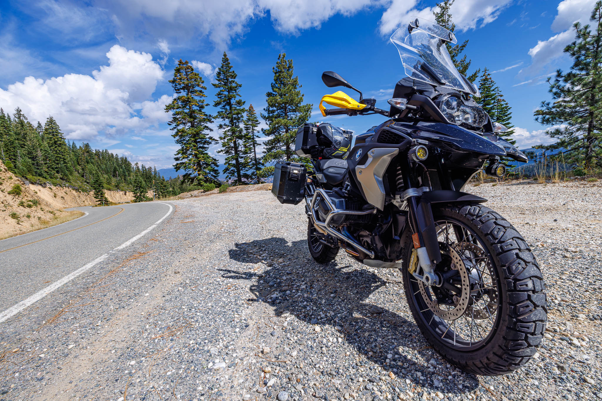
I was also getting different answers from EV mapping platforms if the drive today was possible. I’m taking the truck into a pretty extreme environment, climbing nearly 8000 feet. I’m learning very quickly; this truck prefers to avoid climbing hills. I settled on Sunrise based on the recommendations of my HipCamp host. I discovered the Mowich Lake entrance was dirt, and I wasn’t willing to go into unknown off-roading territory alone. So, Sunrise it is.


Mount Rainier is massive. Everything that felt distant about Mount Shasta is up close and personal in this park. The mountain is not only high but bulky as well. The ice in the glacier is alive and well even in August, which is hard to find in Northern California. The surrounding Cascades fill the horizon with their sharp peaks across the sky.


While wandering around the park, I met Gary, who was reconnecting with the park his grandfather built. You see, Gary’s grandfather was a part of the National Park Service many years ago, who cut the roads into the landscape. No backhoes, bulldozers, or excavation equipment was available back then. In many ways, I was humbled hearing his story about the people who built this park.


At the time, I didn’t make the effort to connect the entrance name, Sunrise, to its actual meaning. At the 180° overlook on the way up to the visitor’s center, sunrises apparently are genuinely outstanding. Gary must’ve been in his late 70s and was trying to find a way with the Park Service to spend the night at the top of the mountain. My heart felt for Gary as I’ve often wanted to do the same at the top of Mount Diablo – to see the night sky light up all across the Bay Area. You can only explore the top of the park at night if you camp on the mountain. The National Park Service had similar rules around Mount Rainier, where Gary wanted to camp. I mean, if your family helped build the park, is there an exception to be had or an event to be made to honor the park’s founding community?

Gary also suggested I go a bit further east to Mather Pass. Eastern Washington couldn’t have felt more different from Western Washington. The rain shadow accounts for hot, dry summers as well as bitterly cold winters without the insulating effect of the Pacific Ocean. Continuing on Highway 410, Mather Pass is also the dividing line between Mount Rainier National Park and Wenatchee National Forest. Continuing into the National Forest wouldn’t have been smart from a power perspective, so I thanked Gary for his advice and returned to Seattle.


The drive from Mount Rainier into Seattle was steady but full of traffic. As much as I am impressed by elevation, I am also impressed by the ability of the truck to reclaim power andde really extend its range inside of traffic. It performs the best in the worst of conditions. My range is demonstrably longer in town – the exact opposite of a gas car.

At this point, I’m ready to stay in Seattle for a few days. It will be good to see folks from across different parts of my life who have moved here – which I’m excited about.
Route:


Leave a Reply