The WordPress.com team launched a new feature called #wordPrompt where they post a term each month to inspire content for your blog. This month’s word: green.

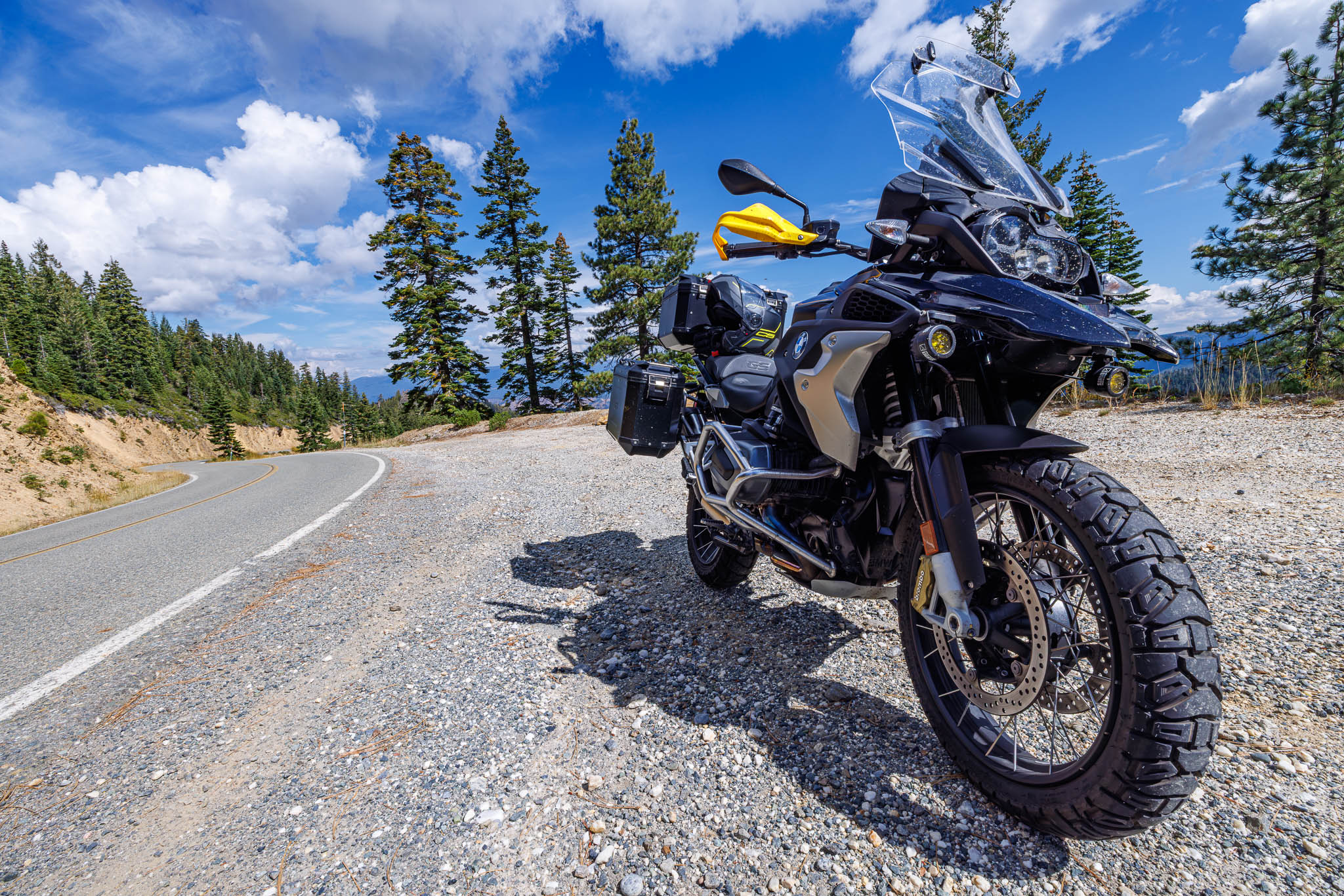
When it comes to motorcycle posts, I almost always lead with a picture, stories, and conclude with a route map. As to every rule, there is always an exception. That exception is the Montezuma Hills.
The rolling hills of the Bay Area quickly give way to California’s Central Valley. For a motorcyclist, this means long straightaways with little curvy relief. Except for Montezuma. No, not Montezuma’s revenge, but Montezuma’s blessing. Slightly northeast of Suisun Bay, the Montezuma Hills feel like an undiscovered curvy paradise – so close to home.
I want to quickly zoom in on the terrain view in Google Maps. Look at the tip of the beige block just north of the water. There’s hills there!


I was looking for one more good ride before elbow surgery at the Mayo Clinic. I’d been cooped up doing a rigid quarantine as I didn’t want to fly to Minnesota to be turned away due to Covid-19. I also enjoyed “one last ride” before the surgery just in case things didn’t work out as planned.
It was early March so a stiff chill was all throughout the air. The BMW fired right up breaking the silence in the late afternoon air. Time was not on my side. A week ago, Homoto did a similar ride and included many roads in the Sacramento River Delta. The roads in the Delta aren’t great. The soil is both soft and moving. The pavement suffers a brutal fate by cracking, sliding, and leaving many pitfalls for the motorcycle rider.
Once crossing Highway 160, the pavement and the scenery get significantly better. However, today I was coming from the west. Interstate 680 Gave Way to Interstate 80, and soon after, I found my way heading east on Highway 12. I had ridden through the wine country and in the Eastern and in the eastern Central Valley. I’d seen this exit hundreds of times, leaving the Bay Area.
Suisun City and Rio Vista are known to be destination cities (much like the town I’m from), so I’ve never ventured off that way. After a lazy couple of miles down Highway 12, the countryside came alive. This section of the roadway was populated with windmills. The wind is usually difficult for motorcyclists, but seeing the windmills spinning as I road by was fantastic. Early March means late winter here in the bay area, so the hillsides were covered in fresh, green grass.


The one downside is that the ride was far too short and, ironically, right on time. I found myself in Rio Vista exactly as the sun was going down. The small, sleepy valley town reminded me of Robert. He, Randy, and I had one of our last memories there. We did a similar ride in Rio Vista (see: Tot Weerziens Robert). It was bittersweet riding through missing my friend but knowing how much he contributed to my motorcycling journey.


This part of the ride was the southern end of the Sacramento River Delta. The road squiggled through the night air down to the Antioch Bridge. The Antioch Bridge is unlike any of the other state owned bridges. It’s a two lane crossing with a steep climb and an equally steep fall. Fortunately, it wasn’t windy at this time in the evening – but Lord was I cold.


Highway four is one of the fastest running highways here in the Bay Area and tonight didn’t disappoint. I will just leave it there. 🙂
Route:


Leave a Reply